Download
1 / 28
280 likes | 744 Views
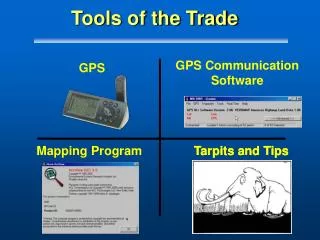
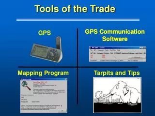
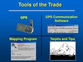
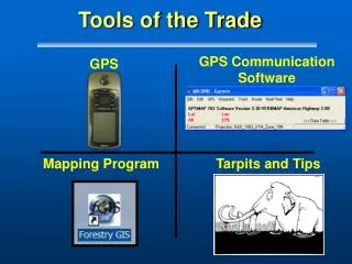
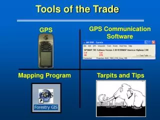
GPS Communication Software. Mapping Program. Tarpits and Tips. Tools of the Trade . GPS. Tools of the Trade - Part IV. Tarpits and Tips. TIPS. Outline. Datums Error, Accuracy, and Precision Map Scale and Errors Tips for Managing GPS Error Better Maps for GPS. GPS Datum Tarpit.

E N D
GPS CommunicationSoftware Mapping Program Tarpits and Tips Tools of the Trade GPS
Tools of the Trade - Part IV Tarpits and Tips TIPS
Outline • Datums • Error, Accuracy, and Precision • Map Scale and Errors • Tips for Managing GPS Error • Better Maps for GPS
GPS Datum Tarpit • What’s the big deal? • A football field of difference if you are wrong! • What if you’re on the wrong side of the ridge? • Or worse…the valley!! SHIFT HAPPENS!
Datum Shift 0.13miles Shift Happens - Florida Example
In the Field Comms between GPS users Comms between GPS and Maps Example: dispatch in one datum, you read off in another In the GIS Projecting data on top of GIS data Example: You set DNRGarmin Projection to UTM 10 NAD83, but your GIS is in UTM 10 NAD27 When Datums Matter
Written or Spoken Datum MISMATCH Them You 400 feet off Display set to NAD27 They Expect WGS84
Transfer to GIS Set Projection in DNR Garmin to NAD27 GIS GPS Always Stores in WGS84 Working in NAD27
GPS Datum Tips • Summary: • Check, check, check • When Downloading with DNR Garmin, Always check “Set Projection” to match your GIS • ASK! • When you hear WGS84, with your scale, it’s the same as NAD83 Aviation GPS is always WGS84
Error, Accuracy, and Precision • Importance • Safety • Make or break a GIS project • Learn ways to keep GPS errors to a minimum • Be aware of the issues Kenneth E. Foote and Donald J. Huebner, The Geographer's Craft Project, Department of Geography, The University of Colorado at Boulder.
Basic Definitions 1.) Accuracy: how close to truth or accepted values. 2) Precision: how repeatable or consistent
Basic Definitions Accurate + Precise = Low Error ! 3.) Error: includes both the imprecision of data and its inaccuracies
Map Scale • Accuracy and Precision for a map are a function of the scale at which the map was created • Applies for digital or paper • National Mapping Accuracy Standards employed by USGS
Map Accuracy Standards • 1:2,400 ± 6.67 feet • 1:24,000 ± 40.00 feet • 1:63,360 ± 105.60 feet • 1:100,000 ± 166.67 feet
Map Scale and the Garmin • Will your Garmin GPS MAP76 meet Mapping Accuracy standards for a 1:24,000 scale product (+/- 40’)? • How about 1:63,360 (+/-105’)? • Yesterday, we answered that question?
Sources of Map Errors • Age of Data • Map Scale Mapsource data is 1:100,000 scale • Digitizing Errors
Tips for Managing GPS Error • Metadata • Average all Points • Fresh batteries • External Antenna • All else fails • Map and Compass
Tips for Managing Error • Staying As Accurate as possible +/-26 ' (open)
Tips for Managing GPS Error • Record Metadata: • Who, What, Why
Managing GPS Error • Try to average points • 60 points
Managing GPS Error • If in the trees, turn off WAAS • Position can be even worse. • Always take a 3D position over a 2D Differential!
Managing GPS Error • Try to use Antenna when possible • A Map76 under Canopy gets twice as accurate with an external antenna • Use Sleeve mounts if you have to • When mounting in vehicle, use brackets
GPS Accessories • Maps • Compass • GOTO: • Distance • Bearing
Ideal GPS Accessories • Extra AA batteries • Case ($14.00)* holds cables, cameras, batteries *Available www.gpsoutfitters.com
Make Great Maps • Practice Collecting Good Data in the field • Pass onto others only important stuff • Make your data secure
Summary • Importance of Datums • How error free are you? • By managing error you can beat the odds