Aerial Precision: Map Drone Solutions
Learn more about Map Drone Solutions' aerial mapping future. By combining drones with mapping software, we provide precise, efficient, and comprehensive spatial data solutions. From urban planning to agriculture and disaster management, our drone map solution offers unparalleled accuracy and detail. Take advantage of our innovative approach to aerial mapping for surveying, infrastructure development, and environmental monitoring.<br><br>Visit here: https://www.mapdronesolutions.com/

Aerial Precision: Map Drone Solutions
E N D
Presentation Transcript
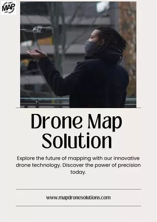
Drone Map Solution Explore the future of mapping with our innovative drone technology. Discover the power of precision today. www.mapdronesolutions.com
Aerial Surveys and Mapping Drones provide a bird's-eye view of urban landscapes, capturing high-resolution images and data essential for accurate mapping and surveying. From land use assessments to infrastructure planning, drones offer a cost- saving and efficient alternative to traditional surveying methods. WWW.MAPDRONESOLUTIONS.COM
Enhanced Data Collection With advanced sensors and imaging technology, drones can collect a wide range of data, including topography, vegetation coverage, and building heights. This wealth of data enables urban planners to make informed decisions regarding zoning regulations, transportation networks, and environmental conservation efforts. WWW.MAPDRONESOLUTIONS.COM
Improved Site Analysis Drones facilitate detailed site analysis by providing real-time imagery and 3D modeling capabilities. Urban planners can assess terrain conditions, identify potential hazards, and visualize proposed developments with greater accuracy, leading to more sustainable and resilient urban designs. WWW.MAPDRONESOLUTIONS.COM
Monitoring Construction Progress During the construction phase, drones play a crucial role in monitoring progress and ensuring adherence to project timelines. By capturing aerial footage, conducting site inspections, and offering elevation measurements service drones help identify construction errors, streamline workflows, and minimize delays. WWW.MAPDRONESOLUTIONS.COM
THANK YOU 404-680-6792 1625 Conley Rd #166 Conley, Ga 30288 www.mapdronesolutions.com mapdronesolutions@gmail.com