2016 AAM Geospatial mapping software solutions – GEOCIRRUS
AAM Geospatial mapping software solutions includes High Resolution Aerial Imagery, Satellite Imagery, Elevation and Topograph & 3D City Models. For more information, please contact us. GEOCIRRUS, 2/33 Waterloo Rd, Macquarie Park, NSW 2113, Phone: 02 8879 1600, http://www.geocirrus.com, http://www.geocirrus.com/case-study/gold-coast-water-ways
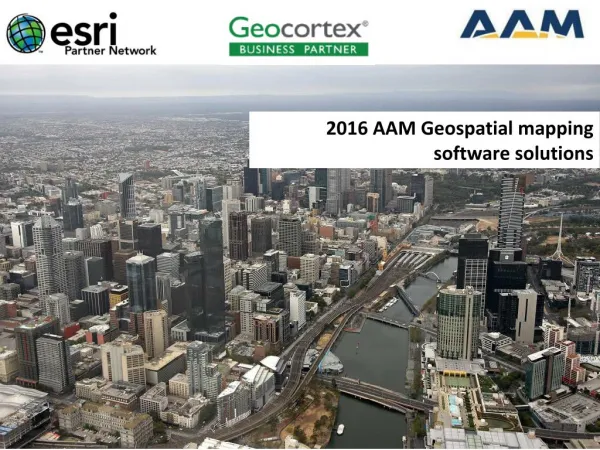

2016 AAM Geospatial mapping software solutions – GEOCIRRUS
E N D
Presentation Transcript
Geocortex Current Status Over 1400 individual clients worldwide
180,000+ hours of relevant, applied R&D Costs shared across 1400 organizations globally
GIS is Evolving Community Enterprise Web GIS Department User Integrating Organizing Documenting Collaborating & Analyzing
Modern computing patterns are steadily taking over the world
Identity Users sign in so the system knows who they are and what they have access to
Ubiquitous access Readily accessible, usable apps available across all major platforms… that offer a consistent, familiar experience.
Sharing & Collaboration Sharing and collaboration that’s unified and is managed centrally.
Common Currencies Web Layers, Web Maps, Web Scenes, Feature layers… the underlying connective tissue that enables all this.
Who people are, what they need, and connecting them with content and one another. Wherever they are, whenever they need it, whatever device they’re using.
Web Maps • Web maps are a central currency in the geoinformation model, and therefore a web GIS • Geospatial Maps are core components within Geocortex
Web Maps Can Power Geocortex Applications GeocortexEssentials Portal Geocortex apps are shared in a portal – alongside other apps – to extend the use of geospatial mapping software throughout your organization AppConfig Apps Apps
…And Use ArcGIS Identities To Personalize What Users Can See And Do Graham Kirsten
Using Geocortex Essentials In A Web GIS Pattern Web Scenes Web Maps Access a single catalog of maps and services from across your organization when authoring applications Layers
Using Geocortex Essentials in a Web GIS Pattern Publish datafiles and web maps to your portal from Geocortex Viewer for HTML5
Using Geocortex Essentials in a Web GIS Pattern Save and share Geocortex Viewer for HTML5 project files with users and groups in your organization that are consumers of GIS
Using Geocortex Essentials in a Web GIS Pattern Access capabilities exclusively provided by Portal for ArcGIS or ArcGIS Online
Using Geocortex Essentials in a Web GIS pattern Control and share access to Geocortex applications with centralized permission management built into Portal for ArcGIS and ArcGIS Online
Deploy Geocortex alongside other apps to capture every use case Geocortex mapping applications integrate with other apps in the ArcGIS platform Solve unique business problems by configuring Geocortex Dashboard Microsoft Office Collector* Explorer* Geocortex Essentials Open Data Story Maps Geocortex Analytics Web AppBuilder Navigator
Geocortex alongside Esri apps Geocortex inside Esri apps
Geocortex Value Reaching Out Geocortex Essentials Ready-to-use Apps Configurable Apps Web AppBuilder/AppStudio SDKs/APIs Out-of-the-box Custom
Example of existing implementation of 3D City maps with Geocortex
Example of existing implementation of 3D City maps with Geocortex
Example of existing implementation of 3D WebScenes and smart city GIS within Geocortex