Download
1 / 2
20 likes | 43 Views
There are many perks of using an aerial survey or other aerial solutions throughout a commercial project. Some are listed here.<br><br>

E N D
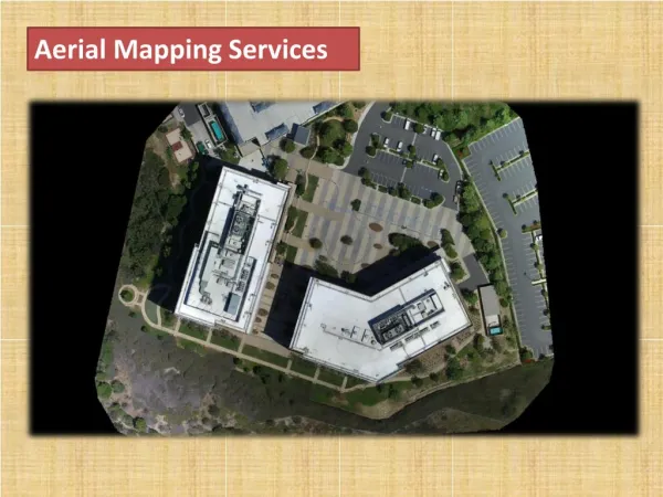
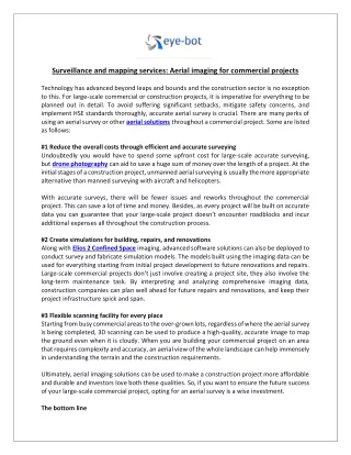
Surveillance and mapping services: Aerial imaging for commercial projects Technology has advanced beyond leaps and bounds and the construction sector is no exception to this. For large-scale commercial or construction projects, it is imperative for everything to be planned out in detail. To avoid suffering significant setbacks, mitigate safety concerns, and implement HSE standards thoroughly, accurate aerial survey is crucial. There are many perks of using an aerial survey or other aerial solutions throughout a commercial project. Some are listed as follows: #1 Reduce the overall costs through efficient and accurate surveying Undoubtedly you would have to spend some upfront cost for large-scale accurate surveying, but drone photography can aid to save a huge sum of money over the length of a project. At the initial stages of a construction project, unmanned aerial surveying is usually the more appropriate alternative than manned surveying with aircraft and helicopters. With accurate surveys, there will be fewer issues and reworks throughout the commercial project. This can save a lot of time and money. Besides, as every project will be built on accurate data you can guarantee that your large-scale project doesn’t encounter roadblocks and incur additional expenses all throughout the construction process. #2 Create simulations for building, repairs, and renovations Along with Elios 2 Confined Space imaging, advanced software solutions can also be deployed to conduct survey and fabricate simulation models. The models built using the imaging data can be used for everything starting from initial project development to future renovations and repairs. Large-scale commercial projects don’t just involve creating a project site, they also involve the long-term maintenance task. By interpreting and analyzing comprehensive imaging data, construction companies can plan well ahead for future repairs and renovations, and keep their project infrastructure spick and span. #3 Flexible scanning facility for every place Starting from busy commercial areas to the over-grown lots, regardless of where the aerial survey is being completed, 3D scanning can be used to produce a high-quality, accurate image to map the ground even when it is cloudy. When you are building your commercial project on an area that requires complexity and accuracy, an aerial view of the whole landscape can help immensely in understanding the terrain and the construction requirements. Ultimately, aerial imaging solutions can be used to make a construction project more affordable and durable and investors love both these qualities. So, if you want to ensure the future success of your large-scale commercial project, opting for an aerial survey is a wise investment. The bottom line
Whether it is about those large-scale commercial projects or massive establishments that need border security, aerial surveying and mapping can go a long way. Aerial survey drones can play an instrumental role in producing in-depth, accurate reporting and surveying that reduces the chances of something that could potentially go wrong. Particularly during construction, surveillance solutions can mitigate security risks to a large extent. For more information about the advantage of aerial surveying, or 3D laser scanning services, contact the experts at Eye-Bot today.