1 / 6

Surveying and Mapping Bangladesh

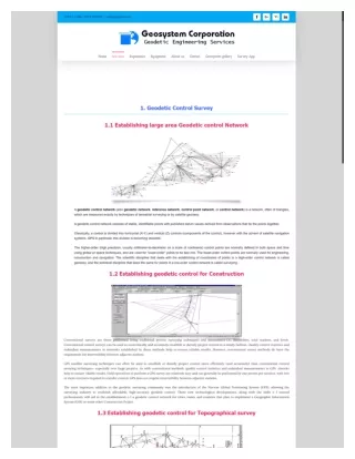
http://geosystembd.com is the biggest Geodetic survey Organization in Bangladesh, Survey Company in Bangladesh Consist of Qualified Geodetic surveyors and Engineers and well equipped with large number of survey grade GNSS (GPS) survey system Equipment. The GSC operate own NTRIP Caster server system for Real Time (RTK) Measurement, In addition GSC is a registered subscriber of available NTRIP service provider of u201cSurvey of Bangladesh (SOB)u201d of The Peopleu2019s Republic of Bangladesh.

11176
Download Presentation

Surveying and Mapping Bangladesh

An Image/Link below is provided (as is) to download presentation Download Policy: Content on the Website is provided to you AS IS for your information and personal use and may not be sold / licensed / shared on other websites without getting consent from its author. Content is provided to you AS IS for your information and personal use only. Download presentation by click this link. While downloading, if for some reason you are not able to download a presentation, the publisher may have deleted the file from their server. During download, if you can't get a presentation, the file might be deleted by the publisher.

E N D

Presentation Transcript


    More Related