Download
1 / 8
80 likes | 206 Views
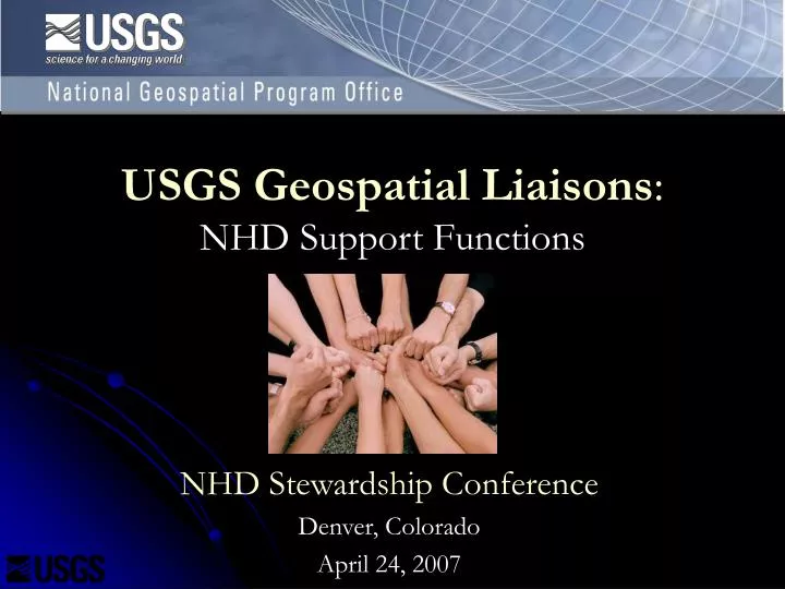
USGS Geospatial Liaisons : NHD Support Functions. NHD Stewardship Conference Denver, Colorado April 24, 2007. A Bold Step for the National Spatial Data Infrastructure : The National Geospatial Programs Office Karen Siderelis, 2004 NSGIC Annual Conference USGS Commitments. Listen to you

E N D
USGS Geospatial Liaisons:NHD Support Functions NHD Stewardship Conference Denver, Colorado April 24, 2007
A Bold Step for the National Spatial Data Infrastructure:The National Geospatial Programs OfficeKaren Siderelis, 2004 NSGIC Annual ConferenceUSGS Commitments • Listen to you • Work in an integrated fashion • Implement partnerships with purpose • Emphasize standards and data models • Push for incentives • Fully staff liaison network across the country
General Liaison Functions • Cultivate and maintain long-term relationships with partners and develop partnerships and supporting agreements for NGPO programs • Foster and improve communication about NGPO and the NSDI • Advise and Consult on Geospatial Data and Technology • Manage the local NGPO program
Specific NHD Support Functions • Coordinate through and support the statewide coordinating body (includes representation from all sectors within a state or region) • Coordinate with Federal, State, Tribal and Local Government in the State or region • Reach back to NGPO Theme Leads and NGTOC • Ortho, Elevation, Hydrography coordination • Support the writing of Agreements • NSDI Agreements • NHD Stewardship Agreements • Provide support in seeking and writing grant proposals • EPA, FGDC, USGS NSDI Support and Data Themes
FGDC 50 States Initiative • Determine how to improve collaboration between levels of government for advancing the NSDI • Desired outcome is that “Coordinating Councils are in place and routinely contributing to the governance of the NSDI in all fifty states.” • Requires effective statewide coordination mechanisms • Goal and challenge is bringing consistency and parity to all 50 States • Develop Strategic Plans, Business Plans, and Marketing Plans for each state • FGDC and NGPO are investing over $2M in states to develop plans
FGDC 50 States Initiative Statewide Strategic and Business Plans • Help guide NGPO investments to align with state/local investments – Establish a known, systematic process for gathering and using partner requirements • Facilitate sustainable implementation of the NSDI – Move to a longer-term approach • Build synergy with statewide and other consortia by supporting and enhancing their goals – Reflects the “Plan for Action” goal to empower partners to reach their NSDI goals; maximize leveraging of resources between levels of government
State Executive Sponsors & Council Members California GIS Council Represent State interests and sponsored council formation 25 member council meets to determine priorities and projects, designate executive sponsors and assign project leads California Mapping Coordinating Committee Technical subcommittees provide technical input and support Federal Geographic California Coordinating Committee Example of Statewide Collaboration: California GIS Council California GIS COUNCIL Regional GIS Councils Provide local input and perspective to the process. 9 seats on main council for RGCs Implementation Teams California Mapping Coordinating Commmittee Federal Coordinating Commmittee of California “iTeams” form to implement council projects. Team members selected from member organizations