Download
1 / 8
130 likes | 452 Views
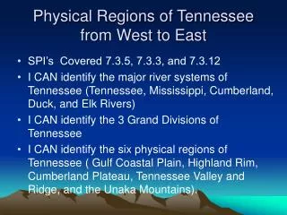
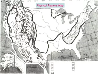
6 Physical Regions of Tennessee. 7.3.spi.12. identify the six physical regions of Tennessee (i.e. Unaka Mountains, Valley and Ridge, Cumberland Plateau, Highland Rim, Central Basin, Gulf Coastal Plain). Draw This!.

E N D
6 Physical Regions of Tennessee 7.3.spi.12. identify the six physical regions of Tennessee (i.e. Unaka Mountains, Valley and Ridge, Cumberland Plateau, Highland Rim, Central Basin, Gulf Coastal Plain).
1. The Unaka Mountainsrun all the way along Tennessee's border with North Carolina. The Unaka Mountains contain rugged terrain, rushing streams and heavily forested slopes. The Smokies are a subset of the Unakas.
2. Valley and Ridge(also known as the Great Valley of Tennessee) -- is a series of valleys divided by ridges and low hills that runs through most of east Tennessee. The Tennessee River is formed in this region. This where Bradley County is located.
3. The Cumberland Plateau -- As you ride from west to east through Tennessee, you suddenly go WAY UP elevation wise at the Cumberland Plateau, a rugged upland region that extends from the Kentucky border in the north to the Georgia and Alabama border to the south.
4./5. Highland Rim and Central Basin-- Middle Tennessee is divided into two regions. The outer ring of Middle Tennessee is considered the Highland Rim. The Central Basin (also known as the Nashville Basin) is slightly lower than and completely surrounded by the Highland Rim.
6. Gulf Coastal Plain -- The entire western third of the state is considered Gulf Coastal Plain. This is where the elevation of the state is lowest and the land is flattest.