Download
1 / 17
190 likes | 632 Views
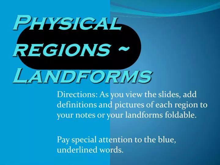
Physical regions ~ Landforms. Directions: As you view the slides, add definitions and pictures of each region to your notes or your landforms foldable. Pay special attention to the blue, underlined words. WHAT ARE LANDFORMS ?. Landforms are the kinds of land formations a place has.

E N D
Physical regions ~ Landforms Directions: As you view the slides, add definitions and pictures of each region to your notes or your landforms foldable. Pay special attention to the blue, underlined words.
WHAT ARE LANDFORMS? Landforms are the kinds of land formations a place has. The types of landforms a place has are influenced by its climate. Physical Regions are often defined by the landforms found there.
1. MOUNTAIN REGION • A mountain is a landform that rises at least 2,000 feet above surrounding land; wide at the bottom and narrowing at the top. • Mountains form a Mountain range, which is several mountains in a row. • Often, mountain regions include valleys. Rocky Mountains, Western United States
PLATEAU • Plateausare FLAT landforms that are found in mountain regions. • Plateaus often come off of mountains. • The Great Plains are located on a plateau that comes off the Rocky Mountains. Great Plains
2. Valley Region • Valleysare low lying areas, often between mountains. • Types of valleys: • Mountain Valley ~ in between two mountains (formed by a river) • Glacial Valley (fjord) ~ formed by a glacier, found in polar regions Appalachian Mountain Valley Glacier Valley
3. RIVER BASIN REGION • A river basin is a low-lying area of land, shaped kind of like a bowl where rivers and their tributaries come together • Basins are areas that are drained by rivers and their tributaries. Water from the basins eventually reaches the river mouth (where the river flows into a gulf, sea or ocean). • A tributary is a smaller river or stream that flows into a larger one • As a river flows into a large body of water a delta may form. A delta is triangle shaped and formed from rock, sand and other materials left behind at the river mouth. • Rivers must begin at a source, like a lake. A lake is a large body of water surrounded by land. Rivers flow from their source towards the Equator. Tributary Mouth and Delta Mississippi River Basin, USA
4. DESERT REGION • A desert is dry land that receives less than 10 inches of precipitation (rain or snow) a year and has little to no vegetation. • Deserts can be hot, like the Sahara in Africa, or cold, like Antarctica.
Mesas and Buttes • Some common landforms found in desert regions are two types of plateaus: mesas and buttes. Mesa ~ plateau with four Steep sides and a flat top Table Rock Mesa in Idaho Butte ~ small mesa Buttes in Monument Valley (Utah)
5. PLAINS REGIONS • A plain is a large area of flat or gently rolling land. • Plains often include rolling hills, which are raided landforms not as tall as mountains. • Plains are often used by ranchers to graze their cattle • Plains have different names depending on location: • Plain ~ United States (also called a prairie) • Pampas ~ South America • Steppe ~ Russia/Siberia • Savanna ~ Africa
6. COASTAL REGION • The area of flat land along a sea or ocean is a coastal plain. • A beach is a type coastal plain, but not all coastal plains are sandy.
PENINSULA • A peninsula is part of a coastal plain that has water on only 3 sides and is attached to another piece of land. • A good example of a peninsula is Florida. • A cape is like a peninsula, but is pointy • A good example of a cape isCape Cod in Massachusetts
GULF and BAY • A gulf and a bay are parts of a coastal region. • They are bodies of water almost surrounded by land. • A gulf is larger than a bay. • Bays and gulfs are located next to coastal plains
SEA • A sea is a large body of water that may be partially enclosed by land. • A sea is larger than a gulf and smaller than an ocean. An ocean is the largest body of water.
7. ISLAND REGION • An island is a body of land totally surrounded by water • An archipelago is a series of islands • The state of Hawaii and the country of Japan are examples
8. Other LandformsSTRAIT • A strait is a skinny body of water that has land on both sides. • Two good examples of straits are The Strait of Hormuz in the Middle East and the Bering Strait that separates Alaska and Russia.
One last word to know ~ ISTHMUS • An isthmus is a skinny piece of land between two bodies of water. • It attaches two bigger pieces of land. • The country of Panama is a perfect example. It attaches South America to Central America.
9. POLAR (ARCTIC) REGION(ADD THESE NOTES TO THE BACK OF YOUR FOLDABLE) • Some landforms exist only in certain climate areas. These landforms usually exist in cold, polar regions, close to the North and South Poles. • Glaciers are large bodies of ice that melt slowly over time • Icebergs are floating bodies of ice • Fjords are valleys formed by glaciers. They are sometimes frozen Glacier Iceberg Fjord