Download
1 / 9
120 likes | 361 Views
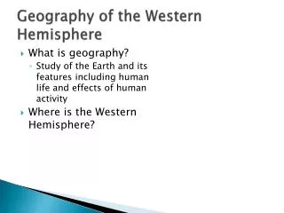
Geography of the Western Hemisphere. By: Allison Kellahan. Grade 6: Places and Regions. GLCE— 6-G2.1.1 Describe the landform features and the climate of the region (within the Western Hemisphere) under study. .

E N D
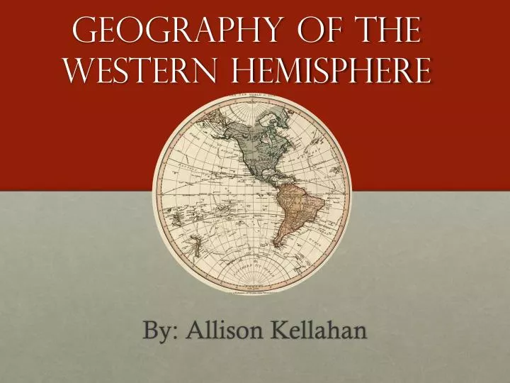
Geography of the Western Hemisphere By: Allison Kellahan
Grade 6: Places and Regions GLCE— 6-G2.1.1 Describe the landform features and the climate of the region (within the Western Hemisphere) under study. For this presentation, we will be finding resources that assist students to describe the landform features and the climate regions of South America.
BOOKS Dry Climates by Keith Lye Cold Climates by Keith Lye Temperate Climates by Keith Lye Equatorial Climates by Keith Lye
Poetry “Imagine the Amazon” The river’s chocolate water hints of muddy silt below, a rich broth of leaves and limbs, aboulderless stew far from distant mountains. Vine-tangled trees shove each other toward the edge with more behind, so many they test the artist’s imagination. Brilliant birds fleck the forest like paintballs explosions, the poorest clay bank wears pins of dragonfly wings. The sky is a vain peacock, a spoiled brat throwing tantrums of thunderbolts and grumbling, a painter who leaves his colors out to run and swear in the rain. Unless you get the sky right, it’ll never be the Amazon. --David L. Harrison “Face of the Amazon” She stands beside the path, stopped, leaning on a crooked cane, resting there to catch her breath, watching children play. She nods and smiles as if on that spot, once she was the one chased. Her face, mahogany finely carved, deeply grained, polished hard by sun and rain, a portrait of the Amazon. After other memories fade, her human face remains, any woman anywhere, Watching children play. --David L. Harrison
Maps Interactive Maps • South America Geophysical Map http://maps.nationalgeographic.com/maps/atlas/south-america-geophysical.html • MapMaker Interactive http://education.nationalgeographic.com/education/mapping/interactive-map/?ar_a=1 • Maps of the World http://www.mapsofworld.com • Countries of the World http://www.studentsoftheworld.info/menu_infopays.html
Activity Books Directions: Take the numbered statement cards, the lettered question cards, and a copy of the worksheet from the folder Match each statement card with the correct question card. Use what you know and reference materials such as the map, atlas, or an almanac to find the answers. Record your answers on the worksheet. Check your answers using the answer key. You may want to mark your answers on the map. Tasks: Study the physical map of South America, then complete the listings of mountains, rivers, and land regions below. Fill in the blank physical features (large bodies of water) on the map. Label some other physical features (Humboldt Current, Straits of Magellan, and Falkland Islands) on the map. Color the map to distinguish between mountains, rivers, land regions, and surrounding water.
Games SOUTH AMERICA LAND AND CLIMATE CROSSWORD First, students read through bullet point about the land and climate of South America. Second, based on the bullet points, students complete a crossword puzzle. http://www.socialstudies.com/pdf/SHL224EX.pdf SOUTH AMERICA LANDFORM MATCHING Activate the drop-down menu Choose a landform and click on the map to show the location of the landform selected If correct, a pin is placed on the map. If not, you are given unlimited number of tries to get the correct answer. By holding the mouse over a pin, the name of the landform will pop up. http://www.wiley.com/college/kuby/0471701211/mapquizzes/s_america/features.html
VIDEOS/WEBSITES/SONG • VIDEOS • Teacher-led Video • Latin America’s Climatehttp://www.youtube.com/watch?v=jtB60aMfnnY • PowerPoint • South America: Physical Geographyhttp://education.nationalgeographic.com/education/encyclopedia/south-america-physical-geography/?ar_a=1 • WEBSITES • Latin America geographiahttp://www.geographia.com/indx05.htm • South America Superlative Projecthttp://schools.bvsd.org/p12/broomfieldheights/library/bhms_lmc/S.A.%20Landforms.html SONG Latin America Map song http://www.youtube.com/watch?v=keGRszDVyDk
References Countries of the world (n.d.). Students of the world. Retrieved 24 November 2013, from http://www.studentsoftheworld.info/menu_infopays.html Harrison, David L. “Face of the amazon.” Children’s author davidl. harrison’s blog. 29 April 2012. Web. 24 November 2013. Harrison, David L. “Imagine the amazon.” Children’s author davidl. harrison’s blog. 10 July 2010. Web. 24 November 2013. koltonhammond (2013, February 11). Geography chapter 9 section 2 latinamerica’s climate. Retrieved November 24, 2013, from http://www.youtube.com/watch?v=jtB60aMfnnY. Latin americageographia (2005). In geographia. Retrieved 24 November 2013, from http://www.geographia.com/indx05.htm. Lye, Keith (1997). Cold climates. Austin: RaintreeSteck-Vaughn Publishers. Lye, Keith (1997). Dry climates. Austin: RaintreeSteck-Vaughn Publishers. Lye, Keith (1997). Equatorial climates. Austin: RaintreeSteck-Vaughn Publishers. Lye, Keith (1997). Temperate Climates. Austin: RaintreeSteck-Vaughn Publishers. Map of the world (n.d.). Maps of world: We do magic to maps. Retrieved 24 November 2013, from http://www.mapsofworld.com MapMaker interactive (2013). In National geographic. Retrieved 24 November 2013, from http://education.nationalgeographic.com/education/mapping/interactive-map/?ar_a=1 Obertopia (2012, September 12). Latin america map song. Retrieved 25 November 2013, from http://www.youtube.com/watch?v=keGRszDVyDk Piddock, C (2006). Southern match-up: Know south america. In C. Steele (Ed.), Know your continents: geography centers (pg. 40-53). U.S.A: Weekly Reader Corporation. Silver, J. F (1992). A physical map of south america. In Ready-to-use world geography activities: For grades 5-12 (pg. 78). West Nyack, NY: The Center for Applied Research in Education. South america: Land and climate (n.d.). Social studies school services. Retrieved 24 November 2013, from http://www.socialstudies.com/pdf/SHL224EX.pdf South America: Physical geography (2013). In National geographic. Retrieved 24 November 2013, from http://education.nationalgeographic.com/education/encyclopedia/south-america-physical-geography/?ar_a=1 South america geophysical map (2013). In National geographic. Retrieved 24 November 2013, from http://maps.nationalgeographic.com/maps/atlas/south-america-geophysical.html South america map quiz—physical features (n.d.). Wiley. Retrieved 24 November 2013, from http://www.wiley.com/college/kuby/0471701211/mapquizzes/s_america/features.html South american superlative project. In Boulder Valley School District website. Retrieved 24 November 2013, from tp://schools.bvsd.org/p12/broomfieldheights/library/bhms_lmc/S.A.%20Landforms.html