Download
1 / 16
190 likes | 379 Views
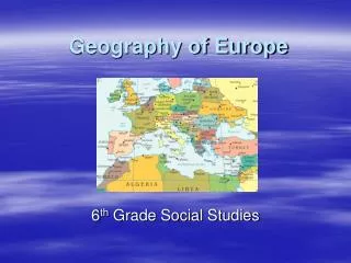
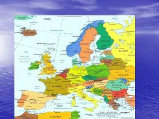
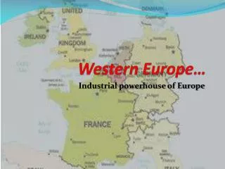
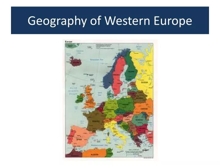
Geography of Western Europe. COUNTRIES OF EUROPE. GEOGRAPHIC REGIONS. THE ALPS.

E N D
THE ALPS • Located in south-central Europe, they extend for almost 700 miles from the coastline of southern France (near Monaco) into Switzerland, northern Italy and Austria, then southeast through Slovenia, Croatia, Bosnia and Herzegovina as the (Dinaric Alps). They end in Albania on the rugged coastline of the Adriatic Sea.Known for stunning scenery, glaciers, lakes and valleys and the best skiing conditions on the planet, they're the source of many rivers and tributaries including the Danube, Po, Rhine and Rhone.The highest point is Mont Blanc at 15,771 ft. (4,807 m)
APENNINES • The source of almost all rivers in Italy including theArno, Tiber, and Volturno, the Apennines Mountains (Ital. Appennino) 830 miles (1,350 km) in length, form the backbone of the country, and run the entire length of the Italian Peninsula, ending on the island of Sicily.The highest point is Mt. Corno at 9,560 ft. (2,914 m).
ATLANTIC HIGHLANDS • Formed millions of years ago during the Caledonian mountain-building periods as western lands were (forced) or pushed against the Scandinavian Shield. Significant mountain ranges here include the Kjolen in Norway and Sweden, and the Pennines that stretch through the central United Kingdom.
KJOLEN MOUNTAINS • This jagged mountain system runs along the border of eastern Norway and western Sweden. The highest point is Mt. Kebnekaise, standing at 6,965 ft. (2,123 m).
MASSIF CENTRAL This mountainous plateau of southeastern France is the source of the Allier, Creuse and Loire. It's about 32,189 sq. miles (85, 001 sq. km) in size, and the highest point is Puy de Sancy at 6,186 ft. (1,885 m).
MESETA • The central plateau, or Mesata, covers nearly half of the entire country of Spain. This high plateau averages about 2,300 ft. (700 m) in the north, and 2,000 ft. (600 m) in the south. It's surrounded by a series of mountain ranges including the Cantabrian, Sierra De Gata and Sierra Guadarrama in the north and central, and the Sierra Morena and Sierra Nevada in the south. These mountains separate the Meseta from the Costa Verde, the Ebro valley, the Mediterranean and the valleys of Andalucia.
PLATEAUS and LOWLANDS • The rolling plains of the North European Lowlands provide fertile and easily tilled soils that have given rise to lush agricultural landscapes. • The Central Plateaus are formed from 250- to 300-million-year-old rocks that have been eroded down to broad tracts of uplands. Beneath the forest-clad slopes and fertile valleys of these plateaus lie many of Europe’s major coalfields.
PYRENEES These mountains form the natural border between France and Spain and extend for about 270 miles from the Bay of Biscay to the Mediterranean Sea. The highest point is Pico de Aneto at 11,168 ft. (3,404 m)
SCANDINAVIAN SHIELD An ancient area of rocky earth peppered with granite rock that was literally ground down by receding glacial ice sheets. It's a rolling area of land covered with thousands of lakes (mostly small), linked by rivers.