Download
1 / 56
560 likes | 681 Views
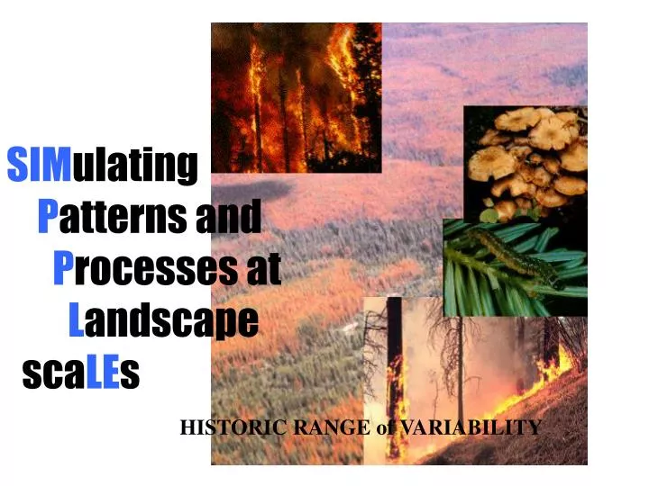
SIM ulating P atterns and P rocesses at L andscape sca LE s. HISTORIC RANGE of VARIABILITY. This volume of Ecological Applications had a section dedicated to the concept of the natural range of variability. Two articles that have significance to how we use SIMPPLLE are:.

E N D
SIMulating Patterns and Processes at Landscape scaLEs HISTORIC RANGE of VARIABILITY
This volume of Ecological Applications had a section dedicated to the concept of the natural range of variability. Two articles that have significance to how we use SIMPPLLE are: Landres, P.B., Morgan, P., and Swanson, F.J. 1999. Overview of the use of natural variability concepts in managing ecological systems. Ecol Appl. 9: 1179 - 1188 Swetnam, T.W., Allen, C.D., and Betancourt, J.L. 1999. Applied historical ecology: using the past to manage for the future. Ecol Appl. 9: 1189-1260
“Applying natural variability concepts require multiple sources of information, ranging from site-specific data and simulation models to expert opinion and judgement”. “Creating static reproductions of past ecosystems is --- not desired.”. Landres et al. 1999
“… it may be misguided and fruitless to chose a single fixed point or period of time”. Swetnam et al. 1999
SIMPPLLE HRV using SIMPPLLE Starting with the current landscape make a long-term simulation (500 years) without fire suppression. The resulting landscape can be saved and then multiple simulations made with it. Length of the simulation should be long enough to observe cycles in processes and vegetation conditions. Some changes that can be made in the SIMPPLLE input: Historic fire probability – higher ignition probabilities by Native Americans Pathways – current vs historic disturbance processes
SIMPPLLE A number of key questions concerned with representing “Historic Range of Variability” has to be: what size area is used? what time frame is represented? do we modify the current landscape before starting? (example - adding back in species that are completely absence increasing fire occurrences to reflect native american ignitions)
SIMPPLLE EXAMPLES: Geographic area 8 (Pintler Ranger District) from Eastside Region One Assessment Bitterroot face, Bitterroot NF, Montana Salmon River Canyon, Idaho Beaverhead-Deerlodge NF preliminary simulations SIMPPLLE – possible states (pathways) – current vs historic
Lewis and Clark Helena Deerlodge Custer Beaverhead Gallatin
Missoula Deerlodge Hamilton Anaconda Butte Geographic Area #8 from East Side Assessment 1,500,291 acres
Extreme levels of stand replacing fire occur at intervals greater than 5 decades, thus a 5 decade representation of historic conditions could provide too small of a range of variability. Forested habitat types
Extremes of mixed severity fire levels sometimes coincide with The stand replacing fire, but tend to occur more frequently. Forested habitat types
Cycles in mountain pine beetle (mpb) are at low levels, only very infrequently does a very significant outbreak occur because of fire cycles that keep susceptible lodgepole at a minimum Forested habitat types
Changing the scale of the figure makes it easier to see the frequency of lower levels of mountain pine beetle activity Forested habitat types
The conditions that are conducive to an extreme mountain pine beetle outbreak occur after decades of fire exclusion. The fuels created by The outbreak can contribute to extremes levels of stand replacing fire. Forested habitat types mpb outbreak
Forested Habitat Types High, low, and median values from 5, 5-decade simulations for current conditions and 5, 10-decade simulations for historic conditions.
Current mesic shrubs are below the range of what existed historically. Mesic Shrubs on forested habitat types varied with fire cycles.
Forested Habitat Types High, low, and median values from 5, 5-decade simulations for current conditions and 5, 10-decade simulations for historic conditions.
Forested Habitat Types High, low, and median values from 5, 5-decade simulations for current conditions and 5, 10-decade simulations for historic conditions.
Historic Conditions Probability of lodgepole pine
Historic conditions Occurrence of quaking aspen
Forested Habitat Types High, low, and median values from 5, 5-decade simulations for current conditions and 5, 10-decade simulations for historic conditions.
Forested Habitat Types High, low, and median values from 5, 5-decade simulations for current conditions and 5, 10-decade simulations for historic conditions.
Bitterroot Face – fire return frequency Stevensville Hamilton Darby Multiple simulations, without fire suppression were used to develop a frequency of fire return This data set used the nonforest from tsmrs and agriculture designations – neither of which were modeled to “burn” - thus a Unrealistic frequency of > 100 years in these areas Fire return frequency in years
Probability of Mixed-Severity-Fire Historic landscape Process probability Current landscape
Fire Risk – Salmon River Canyon Current vegetation conditions probability stand replacing fire Historic vegetation conditions probability stand replacing fire Probability percent
Probability percent Fire Risk – Salmon River Canyon Current vegetation conditions probability mixed severity fire Current vegetation conditions probability stand replacing fire Historic vegetation conditions probability mixed severity fire Historic vegetation conditions probability stand replacing fire
SIMPPLLE What size watershed do we model to characterize both historic and current trends? The landscape context in which a watershed is located affects how disturbance processes spread across its hydrologic divides.
Geographic Area 8 • Eight fifth-code watersheds, in two different areas, bounded by exterior basins (i.e. the surrounding landscape) were modeled in two ways: • 1) in isolation from other watersheds, and • 2) in context of the surrounding landscape Geographic Area 17 (From analysis by Robert Ahl)
Geographic Area 8 Very distinct boundaries between watersheds. Geographic Area 17 Watershed boundaries are less distinct and tend to be forested.
Simulation Comparisons “Not different” means there is no statistical difference in the level of the simulated process when simulated as a single watershed vs. as part of the larger landscape. There is a difference for all processes for GA 17 while only one is different for GA 8
GA 8: Stand-Replacing Fire For stand-replacing-fire there is little difference between the means of multiple simulations because the processes does not easily spread across watershed boundaries in this type of landscape.
GA 17: Stand-Replacing Fire For stand-replacing-fire there is a difference between the means of multiple simulations because the processes easily spread across watershed boundaries in this type of landscape. In this case simulating as a separate watershed would significantly underestimate the amount of stand replacing fire.
Geographic Area 8origin and spread taken from one simulation Originated Spread Notice how animation Shows watershed boundaries restrict spread
Originated Spread Geographic Area 17origin and spread from one simulation Notice how animation shows watershed boundaries do not restrict spread
Beaverhead – Deerlodge Forest - examples The smaller the area, the greater the variability in conditions “special areas” represented in the SIMPPLLE data set for the entire B-D
535,834 acres (156,405 acres of forested habitat types) 279,711 acres (108,158 acres of forested habitat types)
1,194,247 acres (542,359 acres of forested habitat types) 888,949acres (486,118 acres of forested habitat types)