Download
1 / 8
100 likes | 111 Views
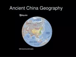
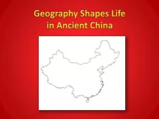
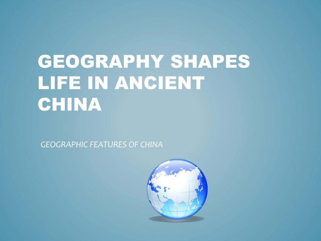
Geography shapes life in ancient china. GEOGRAPHIC FEATURES OF CHINA. Essential Question: What effect did the physical features of China have on its early development?. Located on the eastern side of Asia

E N D
Geography shapes life in ancient china GEOGRAPHIC FEATURES OF CHINA
Essential Question:What effect did the physical features of China have on its early development?
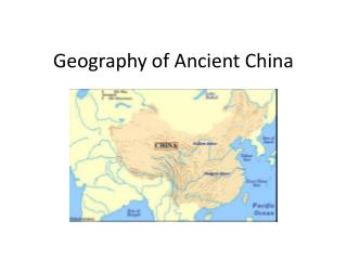
Located on the eastern sideof Asia • China is bordered on the east by the Yellow Sea, East China Sea, and the Pacific Ocean • Deserts edge the northern and western lands – To the north is the Gobi Desert and to the west lies the Taklimakan Desert. • The Tian Shan and Himalaya Mountains form a tight curve on the western border. China is Isolated by barriers
Unlike the regions of the Nile and Fertile Crescent where civilizations interacted with one another, China was geographically isolated. • The huge mountain chains, vast deserts, and large expanses of water made the spread of goods and ideas to China very difficult. • As a result, Chinese civilization developed along very specific lines. Isolation
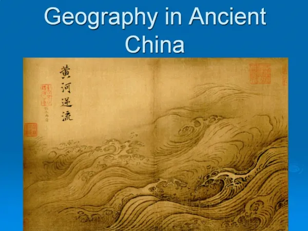
Two major river systems flow toward the Pacific Ocean: • The Chang Jiang, also known as the Yangtze is found in Central China. • The Huang He, also known as the Yellow River, is toward the north of the Chang Jiang. It is named for the yellowish silt deposited by the floodwaters.. The silt makes fertile soil. • The very rich land between these two rivers was called the North China Plain and was the center of Chinese civilization. • Much of the farming was done in this fertile land between the two rivers. Two river systems
Much like the U.S., China has a varied climate. • Western China is dry like the western part of the U.S. • The northof China has seasons like New England. • The southeast of China is mild and humid like the U.S. south. • These different climates allow a variety of crops to be grown. Rice is grown in the moist south, while wheat and millet are grown in the drier north lands A varied climate
Thinking question???? Why was the North China Plain the center of Chinese Civilization? Think about the geography?
Main Idea: Natural barriers isolate China’s fertile river valleys from other parts of Asia