Download
1 / 22
220 likes | 361 Views
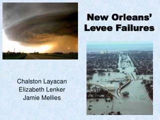
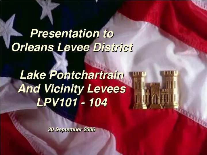
Presentation to Orleans Levee District Lake Pontchartrain And Vicinity Levees LPV101 - 104 20 September 2006. Goal. Provide protection from storm surge that has a one percent probability of occurring in any year.

E N D
Presentation to Orleans Levee District Lake Pontchartrain And Vicinity Levees LPV101 - 104 20 September 2006
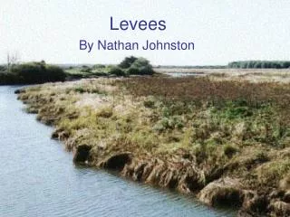
Goal Provide protection from storm surge that has a one percent probability of occurring in any year. • Phase One: Raise levees to the authorized elevation and perform other critical work. • Phase Two: Raise the levee system, including floodwalls, ramps, and gates, to the authorized or 100 year level, whichever is higher.
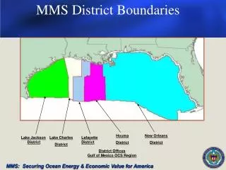
Project Reaches Multi-district teams led by: • LPV101 – St. Louis District • LPV102 – Memphis District • LPV103 – St. Paul District • LPV104 – Rock Island District • LPV101 - 104 Gates – Vicksburg District
Project Reaches – LPV101 • Location: 17th Street Canal to Floodwall @ Lakeshore Drive • Levee: 325 feet • Floodwall: 2,600 feet • Ramps and gate structures: No ramps, 7 gates
Project Reaches – LPV102 • Location: Floodwall @ Lakeshore Drive to Orleans Avenue Canal • Levee: 6,500 feet • Floodwall: None • Ramps and gate structures: 1 ramp, 1 gate
Project Reaches – LPV103 • Location: Orleans Avenue Canal to London Avenue Canal • Levee: 7,190 feet • Floodwall: 2,330 feet • Ramps and gate structures: 4 ramps, 1 gate • Sector gate on Bayou St. John
Project Reaches – LPV104 • Location: London Avenue Canal to IHNC • Levee: 9,400 feet • Floodwall: 3,400 feet • Ramps and gate structures: 4 ramps, 5 gates
Phase One Construction • Levees: • Raise existing levees to authorized grade • Floodwalls: • Modify I-walls if necessary. • Concrete pad for scour protection of I-Walls • Embankment berm for I-Wall stability • Scour protection at I-Wall transitions into levee • Gates and ramps: • Remove gate at Topaz Street and replace with earthen embankment
Phase Two Construction • Levees: • Raise levees to 100 year level of protection • Floodwalls: • Raise or replace walls to provide 100 year level of protection. • Scour protection at transitions wall to levee. • Raise or replace Sector Gate Structure at Bayou St. John to provide 100 yr level of protection • Gates and ramps: • Reconstruct gates to provide 100 year level of protection • Raise ramps at Canal Boulevard, Lakeshore Drive at Rail Street, Lake Terrace Drive at Bayou St. John, and Lakeshore Drive at intersection with Lake Terrace Drive at London Canal
Quality Control andQuality Assurance Processes • Independent Technical Review (ITR) • Value Engineering (VE) • Biddability, Constructability, Operability and Environmental (BCOE) Review
LPV101 • Key Design Issues: • Floodwall Alignment at Marina • Gate L4 relocation • Pedestrian Gate L1B abandonment • Pump station culvert modification • Possible replacement of Gate L1A with ramp
LPV102 • Key Design Issues: • Topaz St. Gate Closure • Canal St. Ramp Raise • Parking Lot South of Topaz Gate
LPV103 • Key Design Issues: • Ramp, Lakeshore Drive at Rail Street • Ramp at Lake Terrace Drive • Ramp, Lakeshore Drive at London Canal • Sector gate at Bayou St. John
LPV104 • Key Design Issues: • Ramp alternatives at Lakeshore Drive, Franklin Avenue, and Camp Leroy Johnson Drive • UNO floodwall • Naval Reserve Center alignment • Real estate and utilities
Gates • Feedback needed to proceed • Gate alternatives due to levee / floodwall modifications • New gate(s) • Relocate L4 • Remove L6 • Remove L9A • Remove L9B • Remove L9C • Remove L10 • Confirm design parameters