Download
1 / 9
90 likes | 208 Views
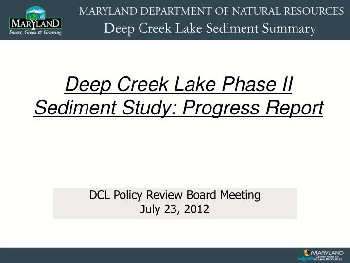
Deep Creek Lake Phase II Sediment Study: Progress Report. DCL Policy Review Board Meeting July 23, 2012. Completed Work. April Field Work Sub-Bottom Seismics collected at 50 meter transects throughout the lake; with the exception of 100 m transects collected in the large open areas.

E N D
Deep Creek Lake Phase II Sediment Study: Progress Report DCL Policy Review Board Meeting July 23, 2012
Completed Work • April Field Work • Sub-Bottom Seismics collected at 50 meter transects throughout the lake; with the exception of 100 m transects collected in the large open areas. • Current Bathymetry collected along the same sub-bottom seismic lines • Complete sidescan sonar imagery collected of the Lake • Complete gps referenced shoreline video inventory • May-July Office Data processing • QA/QC of all collected data • Processing all data for offsets, calibrations, and outlier removal. • Interpretation of data results (not complete) • Historical data gathering and processing.
Sub-Bottom Seismic and Bathymetry Survey Coverage Transects were collected every 50 meters shoreline to shoreline Cross transects were run to validate data Shoreline runs were collected to obtain shallow water coverage and to tie in the shoreline areas between transects
Sub-Bottom Analysis • Still processing the sub-bottom data. We are at approx. 45% completion
Bathymetry PreLake Sreamchannels Soundings were taken twice a second Soundings have been adjusted for speed of sound in water, transducer offset, and lake level changes. Over 600,000 data points remain after QA/QC. Data has been used to create a three dimensional model of the current lake bottom for comparison with historical data
Sidescan Sonar Survey Sidescan Imagery Glendale Bridge Road PreLake Streambed Stump Fields 99.5% coverage of Lake was collected Original stream meanders/oxbows, stump fields, foundations, bridges, roads, etc. are visible. Acoustic sediment classification techniques used in the Chesapeake Bay are being utilized on this data to determine if different sediment types can be mapped.
Sidescan Sonar Survey GIS/Historical Maps • Historical Data has been georeferenced and digitized • Data has been made into a three dimensional model for further comparison • Historical Aerial photography of the lake and surrounding watershed has been incorporated into a GIS to observe changes (1938, 1946, 1952, and 1962)
Future Plan • July-September • Continue processing data • Identify areas of sedimentation / no sedimentation using subbottom, sidescan, and bathymetry. • Identify locations for cores to validate sediment depth calculations from above • Continue to collect historical data • Begin development of sediment management practices publication (contracted)
Future Plan • October • Collect sediment cores throughout lake in identified locations • Describe all cores and determine sediment depths • Conduct chemical/pollutant analysis on select cores with sedimentation • Begin Alternatives Analysis (contracted) for sediment remediation