Download
1 / 47
470 likes | 480 Views
This article discusses the market potential, benefits, and practical applications of Earth observation data. It explores the role of the Global Earth Observation System of Systems (GEOSS) in providing accessible and compatible data for various sectors. The article also explores two use cases: probabilistic risk assessment for disaster management and fire early warning and monitoring in South Africa.

E N D
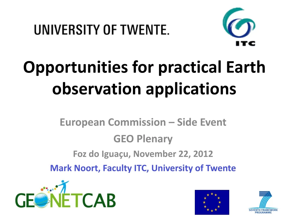
Opportunities for practical Earth observation applications European Commission – Side Event GEO Plenary Foz do Iguaçu, November 22, 2012 Mark Noort, Faculty ITC, University of Twente
Europe: Global Monitoring of Environment & Security Source: ESPI – the socio-economic benefits of GMES
Why market Earth Observation? Analogy mathematics and earth observation: applications not originally intended
About the market: Different projections EO market: 900 million to 1.2 billion in 2009 to 5 billion euro in 2020??? Services: about 20% of total, defense and law biggest customers – government is main client Increases in scientific information do not automatically create information that is of economic value Private sector builds on public investment: analogy with (other) internet services Economic benefit as returns to an activity over and above its opportunity costs Focus on microeconomic approach and reducing uncertainty in decision making, environmental externalities, value-adding aspects
Suppose all these problems are solved: All public information freely available No security restrictions Sensors continuously operational Discovery, access, use, cost, coherence, frequency, quality and quantity of data settled for now and in the future Open source solutions widely available Legislative mandates settled Potential customers know about EO potential
Group on Earth Observations: coordinates efforts to build the Global Earth Observation System of Systems (GEOSS) GEOSS: free and low-cost data and information available to everybody , easily accessible and compatible for easy use (common infrastructure) 150+ countries and organizations are members Structured around tasks to accomplish strategic targets by 2015 Divided in Societal Benefit Areas (SBAs): Disasters, Health, Energy, Climate, Water, Weather, Ecosystems, Agriculture, Biodiversity
Marketing as Promotion & Capacity Building • With GEOSS Common Infrastructure (GCI) in place (2015), most images and datasets are easily accessible and freely available (or at low cost) • “Non-space countries”: only investment in basic infrastructure and capacity building is needed • OK, so at the general level there are benefits, but what happens at the local level?
What “we” want: Funding for GEO / GEOSS activities • What “they” want: Practical solutions for concrete problems • How to avoid the “whatever” default reaction, even if people are interested: we have no clear view of the opportunities, there are so many options and it is not clear to us how the problem is solved (where are the buttons we can push? & how can we explain?) • The road to funding of GEO / GEOSS goes through accepted practical applications of Earth observation
Target Groups Decision makers Communities Professionals
Disaster management - categories Risk assessment / simulation models Forecasting / early warning Monitoring Damage assessment Prevention / planning General
(Natural) disaster types Volcanic eruptions Earthquakes Landslides Floods Tsunamis Droughts Fires, etc.
Use case 1: Central American Probabilistic Risk Assessment • Review of methodology • Development of software tools • Training needs assessment
RiskCity concept • Go through all steps of a risk assessment • Urban area • Multi-hazard • Developing country • Different approaches
Risk City presentation GIS based training package for multi hazard risk assessment for risk reduction & management.Article RiskCity: a training package on the use of GIS for urban multi-hazard risk assessment. www.itc.nl Cees van Westen
RiskCity exercises • Introduction to data and software, • Obtaining image data and image interpretation; • Downloading Google Earth data and referencing • Remote sensing • Hazard assessment: • Landslides, Earthquakes, Flooding, Technological • Additional: coastal, tsunami, forest fire, drought, volcanic • Elements at risk • Assuming new data is available: start from Google Earth • Assuming more data available (cadastral, census, DEM) • Loss estimation • Annual loss estimation using risk curves • Qualitative loss estimation using matrices • Spatial Multi Criteria Evaluation • Using indicators for social, physical, economical, environmental vulnerability and for capacity • Annual loss estimation • Cost benefit analysis • Using risk information in spatial planning
CAPRA experiences • Comprehensive, multidisciplinary technology: develop more in-depth training package • Regional training courses • Development of case studies • Support of university networks • Long-term capacity building needed
Use case 2: Fire early warning and monitoring South Africa Online detection of fires and occurrences of fire per year
Advanced Fire Information System (AFIS) • Primary sponsorship by ESKOM, power utility and electricity provider for South Africa • Near-real time broadcasts from 15 minute interval satellite passes • Detection of fires as small as 50m X 50m area • Fire detection rate of about 65% of all fires in South Africa • SMS alert notification to fire managers • Supplies several warnings to fire protection associations in South Africa • Expansion of service to SADC region countries
Use case 3: Community participation early warning – Mozambique & Philippines Community meeting in Mozambique
2050: 292 mm in 3 days, 22 cm seal level rise, 16 % more rain
Community participation • SMS warning messages to community leaders • Training on flood and drought forecasting, early warning and monitoring at the central level • Integrated land and water management plan • Building techniques and other measures • Substantial time and effort needed for participatory planning approach • Local teams need to acquire skills • Relative high cost in remote areas
Disaster Management (other examples) • Floods in Poland and Czech Republic • Sensor webs for land slides Taiwan • Sensor webs for flood early warning Germany / Brazil • Risk assessment coastal cities Northern Africa • International Charter to make satellite images available for free after a disaster • Drought (& ecological) monitoring OSS: circum-Saharan area
Decision making “We can only manage what we measure” WATER Water cycle: water resources availability and quality for • Economic development • Green economy • Poverty reduction • Community empowerment • Risk management
Water Resources ManagementCategories of products and services Hydrologic information systems Soil moisture modeling Drought monitoring / early warning Monsoon monitoring / forecasting
Use case 4: capacity building in EO for water resources management in Africa • Basic earth observation education, provided via distance learning • Advanced short courses, focused on selected earth observation techniques • Applied short courses, tailored to the research interest and technical background of the participants • Research supervision, provided by earth observation specialists at
Distribution of research test areas among the TIGER projects
Steps for Earth observation supported water resource management • Land use and land cover mapping + change monitoring • Water abstraction estimate in respect of crop water demand estimates for irrigated areas • Refined land use / land cover mapping • Surface water bodies or water pools (location, extent, dynamics) • Digital elevation models and derived products • Estimates of basin-wide evapotranspiration and precipitation • Water and vegetation monitoring (entire aquifer) • Ground subsidence monitoring and its correlation with groundwater abstraction From: Application of satellite remote sensing to support water resources management in Africa: results from the TIGER initiative
Capacity building in earth observation for water resources management in Africa • Increased capacity for research and problem-solving • Promotion of integrated approach for water resources management • Much more input needed to create real impact • Address sustainability by making data and images available freely or at low-cost and create / maintain research infrastructure
Use case 5: Water resources assessment, Tibetan plateau Source of some of the largest rivers of the world, but very little quantitative information on water balance and long-term trends
Evapotranspiration estimates from time-series of satellite images + in-situ measurements
Result: water & energy balance modeling as input for decision-making (climate change)
Water resources management: Tibetan Plateau • Result: more insight in water and energy balance, also in remote areas • Research cooperation European partners and China • Combination earth observation and in-situ measurements • Opportunity: well-informed decision-making on adaptation to climate change
Use case 6: community mapping for drinking water in East Africa Communities map their access to drinking water…
Google H2O: communitymapping • Result: more insight in actual water and sanitation situation in areas with difficult access (remote or unsafe) • Supported by Google and UN-HABITAT • Wide range of other applications possible • Low-cost, training needed • Opportunity: community empowerment
Water Resources Management(other examples) • Improving parameters for curve-number method – Czech Republic • Availability of global datasets – GRDC • Water & energy balance information - GEWEX • Drought monitoring • Getting information to the farmer: e-Leaf, GEONETCast • Index-based insurance for agriculture • Wetland management - Poland
Conclusions & Recommendations: Benefit from public investment in space: only small investment in infrastructure and capacity building needed Benefit from GEOSS Common Infrastructure Focus on customer value propositions, strategic capitalism -> green economy Measure impact: qualitative, quantitative, monetary Dialogue between government, scientists and private sector
Thank you www.itc.nl www.geonetcab.eu Mark Noort: m.noort@itc.nl m.noort@hcpinternational.com