Download
1 / 21
210 likes | 390 Views
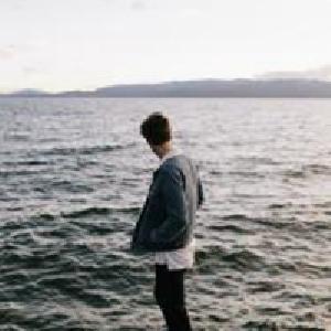
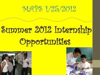
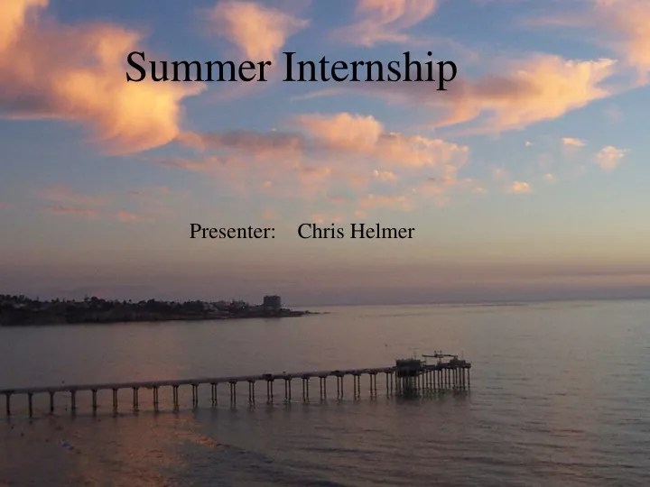
Summer Internship. Presenter: Chris Helmer. Myself. Surfing Exploring Fishing Partying With Friends. Perfect Location. UCSC. Santa Cruz. UCSC Banana Slugs. UC Santa Cruz. Third Year Earth Science/ Environmental Studies Major Sierra Institute in fall. Interests in School.

E N D
Summer Internship Presenter: Chris Helmer
Myself • Surfing • Exploring • Fishing • Partying With Friends
Perfect Location UCSC Santa Cruz
UC Santa Cruz • Third Year • Earth Science/ Environmental Studies Major • Sierra Institute in fall
Interests in School • Earth Sciences • Meteorology • Ocean Sciences
Summer Internship Scripps Institute of Geophysics and Planetary Physics
Provides high precision geodetic and geophysical measurements using Global Positioning System (GPS) satellites, particularly for the study of earthquake hazards, tectonic plate motion, plate boundary deformation, and meteorological purposes.
GPS • Difference in Position • Mm accuracy
Where I Fit In • Real Time Data Processing (RTD) System • Precise second by second positioning. • Gamit Solutions vs. RTD Solutions. • Work out any bias in solutions.
RTD • XYZ Solutions • Tropospheric Delay from atmosphere conditions • Ionospheric Delay • Statistical Analysis Ionospheric Delay Troposheric Delay
Application in the Future Commercial Use of RTD • Cargo Ships • Plans • Cars • Personal Use
Application for Surveyors • Highway Design • Geographic Information Systems (GIS) • Monitoring Bridges and Structures
Application for Science • Crustal Deformation • Calculate strain build up on tectonic plates • Capture seismic event
Success of Project • Strong horizontal accuracy (1-2mm) • Recognized vertical discrepancy ( 20mm)
Next Step • Continue running a long term test • Find results for months worth of data • Make results conclusive