Download
1 / 18
180 likes | 185 Views
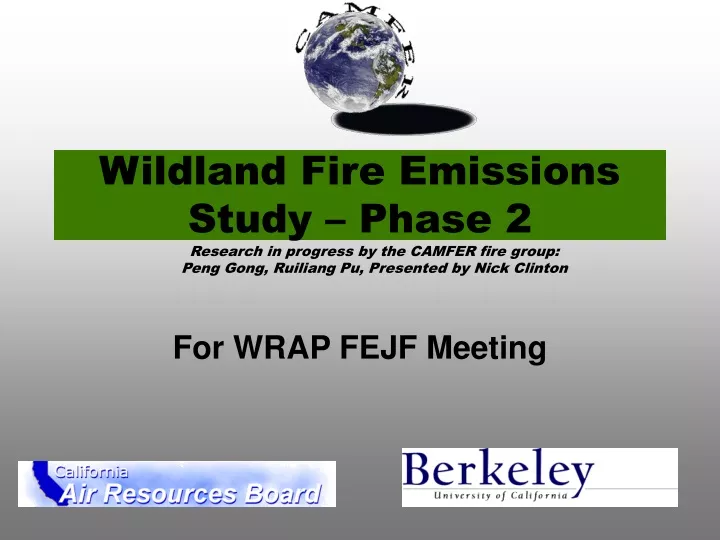
Wildland Fire Emissions Study – Phase 2. Research in progress by the CAMFER fire group: Peng Gong, Ruiliang Pu, Presented by Nick Clinton. For WRAP FEJF Meeting. Purpose.

E N D
Wildland Fire Emissions Study – Phase 2 Research in progress by the CAMFER fire group: Peng Gong, Ruiliang Pu, Presented by Nick Clinton For WRAP FEJF Meeting
Purpose “…to develop a method for producing coherent, consistent, spatially and temporally resolved GIS based emission estimates for wildfire and prescribed burning.” U.C. Berkeley –2
Modular System User Interface Fire History Map Vegetation Coverage Emissions Reporting User Parameters Vegetation Crosswalk Fuel Models Fuel Loading Fuel Consumption Emission Estimation Sum U.C. Berkeley –3
Vegetation Data • The GAP vegetation layer • Statewide coverage • Less complex than other vegetation layers such as CALVEG • 1990 source data
National Inputs • The spatial inputs are the NFDRS fuel model grid (seen left) and a grid of remotely sensed fire detections (both 1km resolution). • Utilizes the same emissions equations as with polygon processing. • Requires crosswalk of FOFEM fuel models to NFDRS fuel models (proof of concept).
Fire History – Agency Data • CDF fire polygons • Historical database • Completeness?? • Remote sensing based fire map
NO Y ES NO YES NO YES Algorithms A. Hotspot Detection (modified to CCRS’) AVHRR data preparation Algorithm applied to each pixel Test # 1 T3 > 315 K? Fire clear pixels Test # 2 T3 –T4>=14 K? Eliminate warm background, e.g., bare soil Test # 3 T4>=260 K? Eliminate cloudy pixel
NO NO NO NO YES YES YES YES Test # 4 Contextual info R2<=30%?R2<=8 neighb P ave-1? T3>8 neighb P ave+5? NO Eliminate highly reflecting clouds & surface and warm background YES Test # 5 Wild land cover types? Eliminate urban, agriculture, dune, desert, water body Test # 6 T4-T5<4.0 K and T3-T4>=19 K? Eliminate thin clouds with warm background Test # 7 R1+R2<=75%? Eliminate highly reflecting clouds & surface Test # 8 |R1-R2|>1%? NO Eliminate sunglint pixels YES Test # 9 One of neighbor P passes the 8 tests above? Eliminate single fire pixel False fire pixels True fire pixels Single date fire mask
Algorithms B. Burnt Scar mapping (modified to CCRS’ HANDS) with - Two NDVI composites of an interesting interval - One corresponding hotspot composite (fire mask) Step 1. Normalize NDVIpost to NDVIpre normalized NDVIpost = Ratio.C * NDVIpost Step 2. Calculate NDVI difference normalized NDVIpost – NDVIpre Step 3. Confirm hotspot pixels using NDVI difference (CBP)
A CBP is assumed to have a negative NDVI difference Step 4. Calculate NDVI difference statistics (mean, SD) of CBP for each landscape type Step 5. Select potential burnt scar pixels (BSPs) A BSPNDVI difference <mean + c*SD (CBP), c can be 0~1 Step 6. Apply a sieve filter to BSPs Filter out a burnt patch of < 2 pixels Step 7. Confirm a BSP with a neighbor CBP and later on a neighbor BSP to create connected burn patches One to four neighbor CBP, BSP to be used for the confirmation Step 8. Filter out a BSP patch of < 2 pixels and false burnt patch Step 9. Output burnt area mask (in TIFF format)
Fire History – RS Data • Overlay of CDF and CAMFER data • 1996 and 1999 (big fire years)
Variation in mapping success between different ecosystem types. • The amount of variation differs between methods (monthly or annual differencing), and between years. • In general, the CAMFER method is more successful in the forest type.
Overlay of CDF and CAMFER • RED is now RS detections. Green is Jepson ecoregion • Lambert Conformal Conic Projection • No Post-processing (filtering, nearest neighbor relationship to hotspots) • Slightly reduced accuracy • Potential for more data refinement by incorporating hotspots…
Overlay of CDF and CAMFER • Green is annual NDVI differencing. • Blue is monthly NDVI differencing • Neither method is effective in detecting the entire burn area
Overlay of CDF and CAMFER • Hotspots (Red) overlaid on the monthly and annual NDVI differencing • Increase or at least negligible decrease in NDVI, especially over an annual time scale • Problems with temporal resolution in hotspot detection • Potential for more dynamic thresholding in burn scar mapping?
Temporal Decomposition of RS Data • Remotely sensed burn scar polygons can be decomposed to daily polygons based on a nearest neighbor relationship using hot spot detections • Facilitates temporal allocation of emissions • Useful to dispersion modeling, emissions tracking