Download
1 / 19
190 likes | 271 Views
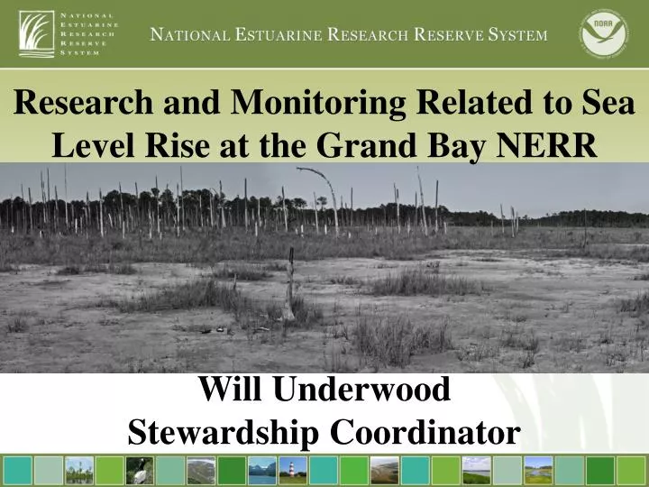
Research and Monitoring Related to Sea Level Rise at the Grand Bay NERR. Will Underwood Stewardship Coordinator. Practice and Promote the stewardship of coasts and estuaries through innovative research, education, and training using a placed based system of protected areas. Water Quality.

E N D
Research and Monitoring Related to Sea Level Rise at the Grand Bay NERR Will Underwood Stewardship Coordinator
Practice and Promote the stewardship of coasts and estuaries through innovative research, education, and training using a placed based system of protected areas. Water Quality Climate Change Habitat Protection
NERRS System Wide Monitoring Program • Graduate Research Fellowship (GRF) Program • Grand Bay NERR site profile (ecological characterization) • Coordinate research with DMR, universities, NOAA, and NERRS • Applied research to local & regional issues
The YSI 6600 EDS Datasonde
MS Phosphates Spill (April 2005) TS Lee (Sep 2011)
Long Term Monitoring • Erosion • Habitat Mapping/Change • SAV • Invasive Species • Marsh Elevations
What is SLAMM? Sea Level Rise Affecting Marshes Model SLAMM simulates the dominant processes involved in wetland conversions and shoreline modifications during long-term sea level rise. A complex decision tree incorporating geometric and qualitative relationships is used to represent transfers among coastal classes.
Effects of fire on water quality, plant production, and accretion in a Juncus roemerianus marsh Primary Research Question: What are the effects of prescribed burning on a salt marsh ecosystem? How does fire affect: • Primary productivity • Accretion processes
Means (mm ± 1 SE) Control Plots: Low =15.17 ± 2.9 Mid =7.81 ± 1.11 High =5.41 ±2.00 Burn Plots: Low =13.42 ± 0.94 Mid =7.38 ± 2.58 High =4.26 ± 1.06 • Transect[Treatment] : NS • Treatment: NS • Location: F(2,63) = 5.59, P=<.0001 • Treatment*Location: NS
Means Control Plots: Low =911.09 ±175.38 Mid =838.37 ±159.58 High = 673.3 ± 237.8 Burn Plots: Low =686.52 ± 50.04 Mid =363.3 ± 94.75 High =356.18 ± 187.5 • Transect[Treatment] : NS • Treatment: : F(1,8) = 1.86, P= 0.005 • Location: F(2,8) = 1.24, P= 0.04 • Treatment*Location: NS
GRAND BAY FIRE EFFECTS STUDY: Results Table 1: Edaphic and biological variables at low, mid, and high marsh plots following Hurricanes Gustav and Ike in 2008 (n=6 for each). Data are means ± 1SE.
ECOLOGY OF TIDAL MARSH BIRDS ALONG THE MS/AL COAST Drs. Mark Woodrey, Bob Cooper, Scott Rush
Clapper Rail Response Current 1 m sea-level rise www.flood.firetree.net