Download
1 / 14
140 likes | 217 Views
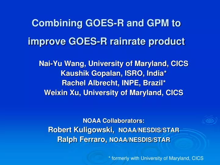
Combining GOES-R and GPM to improve GOES-R rainrate product. Nai-Yu Wang, University of Maryland, CICS Kaushik Gopalan, ISRO, India* Rachel Albrecht, INPE, Brazil* Weixin Xu , University of Maryland, CICS NOAA Collaborators: Robert Kuligowski, NOAA/NESDIS/STAR

E N D
Combining GOES-R and GPM to improve GOES-R rainrate product Nai-Yu Wang, University of Maryland, CICS Kaushik Gopalan, ISRO, India* Rachel Albrecht, INPE, Brazil* WeixinXu, University of Maryland, CICS NOAA Collaborators: Robert Kuligowski, NOAA/NESDIS/STAR Ralph Ferraro, NOAA/NESDIS/STAR * formerly with University of Maryland, CICS
To improve microwave-based precipitation by connecting the ice-phased microphysics commonly observed by lightning sensors and microwave radiometers convective/stratiform partition in the precipitation systems To provide better microwave calibrations for GOES-R ABI rain-rate (QPE) algorithm. Project Objectives
Status • starting the 2nd year of a two-year project to improve microwave calibrator for ABI QPE algorithm with lightning • Combined with a CICS new start “ Combining GLM and ABI Data for Enhanced GOES-R Rainfall Estimates” lead by Robert Adler (PI) and N. Wang (Co-PI), a new post-doc is hired • Built a multi-year TRMM TMI/PR/LIS database (in 0.1o grid resolution) to investigate lightning-microwave convection relationships • Developed a preliminary method to use lightning info in microwave rainfall retrieval algorithm
Rain Feature Discrimination with Lightning TPF: microwave precipitation feature lightning information is very helpful in discriminating microwave precipitation feature of different convective properties (indicated by radar)
How to relate lightning to convective properties observed by microwave TRMM October 10, 2004 over Brazil (TRMM orbit #39346) LIS event rate (events/min) TMI 85 GHz V-pol TBs Ice, mixed -phase Microwave + Lightning Radar convective/stratiforn type Delineate Convective/Stratiform LIS flash rate (flashes/min) Rain Rate
TRMM LIS/TMI/PR Database(proxy for GOES-R and GPM) • Four years (2002-2005) of TRMM radar/radiometer/lightning data in 0.1° grid resolution over land • PR convective fraction estimates, near surface rain rates, reflectivity profiles • TMI TBs, convective fraction estimate (from 10/37/85 GHz), rain-rates (from 85 GHz) • LIS radiances, event rates, group rates and flash rates • 14 millionsraining pixels are used to investigate relationships between lightning frequency/occurrence and convective/statirom partition in the precipitation system observed by microwave
Some interesting lightning Statistics • From four years of TRMM satellite observations, total of 14 millions rain pixels over land (0.1o grid resolution), 7% detects lightning (total lightning) • 13.5% of the lightning occur in stratiform, 86.5% in convective
Lightning frequency of incidence and flash rate Raining pixels from Jan 2002 – Dec 2004 Lightning frequency of occurrence and flash rates increase with cooler 85 GHz TB and stronger convection (indicated by radar reflectivity).
Lightning Intensity, radar Reflectivity, and microwave 85 GHz relationships Median radar reflectivity vertical profiles for different convective strength, indicated by flash rates Frequency distribution of 85 GHz TBs for different convective strength, indicated by flash rates
How are lightning data used in microwave rainfall estimates • Microwave rain-rate at 85 GHz RR = RRconv P(C) +RRstrat (1 - P(C)) P(C) : convective fraction P(C) = a1 TB10V + a2 (TB37V+TB85V)/2 + a3 NPOL + a4 STDEV + a5 MINIMA +k • Sorting microwave TBs and convective fractions P(C) with increasing lightning flash rates. • Convective Fraction P(C) becomes a function of lightning flash rates
An example: lightning info on defining convective fraction LIS flash rates Lightning makes a difference on the microwave convection classification, particularly on strong convection microwave + lightning radar microwave
An example: lightning on rain rate estimates radar microwave microwave + lightning P(C) rain rate
Summary and Future Work • Build a database of 7 yrs of co-located microwave/radar/lightning data in 0.1 grid resolution • Statistical relationships between the absence/presence of lightning and flash rates, convection properties (by radar), and microwave TBs. • A preliminary method is developed statistically using lightning info to sort microwave data with lightning flash rates as a indicator for convection strength. • The preliminary lightning-enhanced microwave rainfall algorithm shows improvement in strong convection (P(C) 0.5-1). Lightning improve (5-10%) microwave’s ability to identify heavy convection areas. • Next, we’ll explore different microwave convection definitions with radar convection properties and lightning info.