Download
1 / 30
300 likes | 393 Views
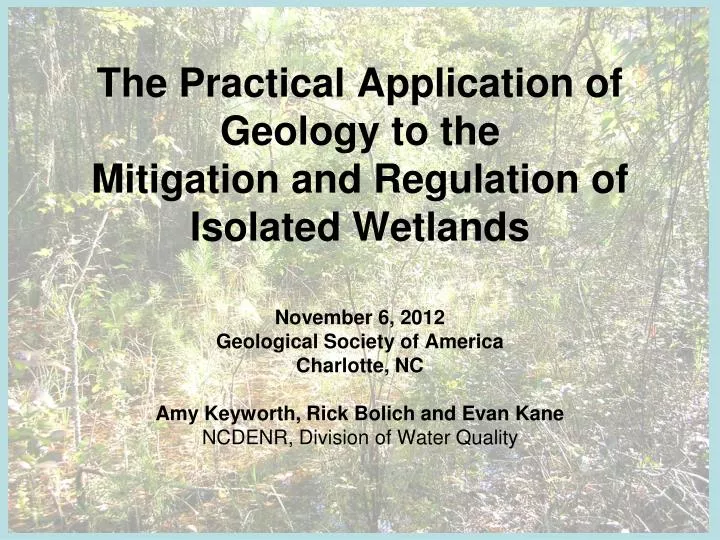
The Practical Application of Geology to the Mitigation and Regulation of Isolated Wetlands . November 6, 2012 Geological Society of America Charlotte, NC Amy Keyworth, Rick Bolich and Evan Kane NCDENR, Division of Water Quality. Background. Geographically isolated from surface water

E N D
The Practical Application of Geology to the Mitigation and Regulation of Isolated Wetlands November 6, 2012 Geological Society of America Charlotte, NC Amy Keyworth, Rick Bolich and Evan Kane NCDENR, Division of Water Quality
Background Geographically isolated from surface water The Clean Water Act of 1972 does not protect IWs 2001 – Solid Waste Agency of Northern Cook County (SWANCC) 2006 – Rapanos/Carabell
Background Wetland functions Flood control Erosion control Surface water quality Biodiversity Unique functions – amphibian reproduction NC – regulate IWs since 2001 Protect the function, and the presence
Isolated Wetlands Hydrologic Connectivity Study Multidisciplinary EPA grant-funded study • Biology, Ecology, Hydrology, Water quality • Our role – hydrologic connectivity to surface water • Bonus – knowledge we can apply to existing regulatory programs
Activities that we regulate that might affect the presence and function of IWs Mine dewatering Land application of wastewater What level of hydrogeologic assessment is necessary? Today’s objective
North Carolina 50 Miles Blue Ridge Province Piedmont Province Coastal Plain Bladen County Brunswick County
2 Miles 2 Miles Owens 1989 1:250,000 Weems 2011 1:100,000
Isolated Wetlands Hydrologic Connectivity Study • Lessons learned • Stratigraphy • Hydrology • Horizontal flow direction • Vertical gradient
44 cores 72 monitoring wells 3 pumping wells 10 stream gaging stations Water levels monthly point-in-time 32 automatic data-loggers 3 Aquifer tests Data Collection
P ET Isolated wetland Stream
Water Level Sandy layer Dark gray clay layer Sand at Site BL7 Isolated wetland Stream
Water Level Sandy layer Dark gray clay layer Silt body Silt bodies at BL1 Isolated wetland Stream
Water Level Sandy layer Dark gray clay layer Silt body Silt confining layer at site BL6 Isolated wetland Stream Unconfined aquifer Unconfined aquifer Confined aquifer
Lower K layer at site GS1 65 60 55 25 Isolated wetland Connected wetland 20 50 15 45 10 40 35 5 30 0 200 400 600 0 Elevation (feet) Sandy layer Wood Interbedded sand and clay Unknown Clay chips Distance (feet)
250 Ft Site BL9 – cemented zones Isolated Wetland Core site Cemented zone
Flow direction Site BL7 - topographic control # # # # # # # Surface Water gaging Flow direction 500 ft Monitoring wells
Flow directionSite BL17 - radial 500 ft # Flow direction Monitoring wells
Vertical gradientChanges with conditions 2 BL7 - MW1D and S 1 52 Water Table Elevation (ft msl) Hourly Precipitation (in) 51 50 0 Jul Apr May Jun Aug Sep BL7-MW1D BL7-MW1S Precipitation
2 Miles 2 Miles Owen 1989 Weems 2011
Conclusions • Can’t assume a simple system • Scale matters • Detailed stratigraphic characterization
Sample site plan Core location Monitoring well location
Conclusions • Can’t assume a simple system • Scale matters • Detailed stratigraphic characterization • Think local scale
Acknowledgements • EPA Cooperative Agreement Number CD 95415809 and CWA Section 106 • Bladen Lakes State Forest • Turnbull Creek Educational State Forest • The Nature Conservancy
Contact Information • Amy.Keyworth@ncdenr.gov • Rick.Bolich@ncdenr.gov Evan.Kane@ncdenr.gov