Download
1 / 30
300 likes | 461 Views
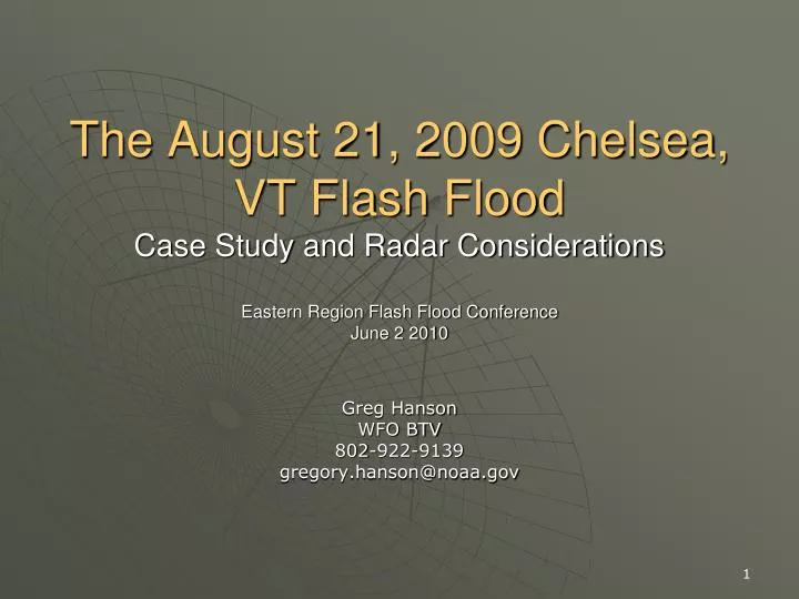
The August 21, 2009 Chelsea, VT Flash Flood Case Study and Radar Considerations Eastern Region Flash Flood Conference June 2 2010. Greg Hanson WFO BTV 802-922-9139 gregory.hanson@noaa.gov. Overview. Meteorological background and event summary Radar Considerations FFMP and HPE recap.

E N D
The August 21, 2009 Chelsea, VT Flash FloodCase Study and Radar ConsiderationsEastern Region Flash Flood ConferenceJune 2 2010 Greg Hanson WFO BTV 802-922-9139 gregory.hanson@noaa.gov
Overview • Meteorological background and event summary • Radar Considerations • FFMP and HPE recap
Chelsea Flash Flood • 1st Branch White River • Steep Terrain
Surface AnalysisValid 1800 UTC 21 Aug 2009 L L >70° F Dew Point
300 HPa Jet Stream Winds 12 UTC NAM80 valid 1800 UTC 21 Aug 2009 100 KT
BUFKIT SoundingNAM Valid 2000 UTC 21 Aug 2009 • Precipitable Water over 2” • Saturated to 11 km • Warm coalescence layer > 3 km • MBE Velocity <10 kts
“Tall Skinny CAPE” NCAPE 0.06 Warm Coalescence Depth >4 km
Result: excessive rainfall • Three to four inches in a couple hours
Overview • Meteorological background and event summary • Radar Considerations • FFMP and HPE recap
KCXX vs KGYX STP • KCXX STP underestimated, despite closer to radar • KGYX better estimate, even when double the distance KCXX KGYX
KCXX Hybrid Scan • WFO BTV’s primary radar • 2.4° elevation inside white lines • 1.5° elevation outside white lines • Altitude of 12,700 ft near Chelsea VT at 2.4° 0.5 1.5 2.4 1.5 2.4 1.5 1.5 2.4 0.5
KGYX Hybrid Scan • 0.5° elevation • Altitude 11,400 ft near Chelsea VT at 0.5° • Available in FFMP since OB8.3 • HPE • KGYX
2.4o KCXX KGYX 0.5o Chelsea VT 51 mi 110 mi KCXX/KGYX Hybrid Scan Comparison • KGYX 0.5° provides 1 kft lower altitude precip estimate than KCXX 2.4° • KCXX used by HPE Default setting
Overview • Meteorological background and event summary • Radar Considerations • FFMP and HPE
FFMP/HPE Recap • With OB 8.3, FFMP became FFMPA • High resolution PrecipEstimator (HPE) • Integrates data from multiple radars in one FFMP display • How does HPE know what radar to use?
HPE Default Setting • HPE populated from radar with the lowest altitude at 0.5° • In other words, whichever radar is closest • In flat terrain, this logic is OK. • Hybrid Scan uses 0.5°
HPE In Complex Terrain • Hybrid Scan in complex terrain uses up to 2.4° • Alternate radar selection method needed • “misbin” file designates radar data source • based on radar climatology
How misbin files are made • RFC runs RadClim • Radar Climatology identifies areas with degraded precip estimates • misbin files created for each radar • 1 = good data bin • 0 = use someone else
Turning misbin ON • To enable the use of misbin: • As user oper, edit /awips/hydroapps/.Apps_defaults_site • add the line: hpe_load_misbin : ON
Optimize misbin/Radar Coverage Maps • Radclim data shows good data from both radars • Tiebreaker is to use nearest radar (KCXX). • KGYX more desirable • KCXX (red) uses 1.5° • KGYX (blue) uses 0.5°
Hybrid Scan/misbin example • Worked with NERFC to edit misbin • Removed spike of KCXX radar data • KGYX data used instead
Suggested Actions for Service Hydrologists in Eastern Region • If complex terrain & hybrid scan uses elevations above 0.5, consider turning on the misbin token! • misbin token off: • HPE Data choice will be based on altitude of 0.5o elevation • Hybrid scan may be using higher elevation • misbin token on: • Check Radar Coverage Field in MPE Editor. • Optimize radar selection working with RFC • Note missing data areas • may degrade FFMP estimates if basins partially missing • Entire basin may be set to missing if no radar data available
Summary • Meteorological precursor conditions in place for flash flooding • Radar sampling issues complicated heavy rainfall identification • Localization of misbin parameters should help FFMP operations for 2010 convective season.
Summary • Misbin token determines radar data used in FFMP HPE field. • Default setting is misbin=off. • Precip estimates used from the radar with the lowest altitude at 0.5°. • Limitation: for complex terrain, 0.5° logic overlooks Hybrid Scan, beam blockage, other precip estimate degradation
Summary • For misbin token set to ON • In HPE, for each bin, decision for which radar’s precip estimates is based on misbin files for each radar • For overlapping radars • misbin file for both has “1” in same HPE bin • 0.5° rule determines radar used.
Acknowledgements • David Riley, WHFS Support • Mark Glaudemans, WHFS Support • Tom Filiaggi, FFMP • Dave Kitzmiller, Hydromet Group, OHD HL • Dave Miller, AWIPS HPE/HPN Software Development and Integration Lead, OHD/HSEB • Jeff Ouellet, NERFC