Download
1 / 26
260 likes | 404 Views
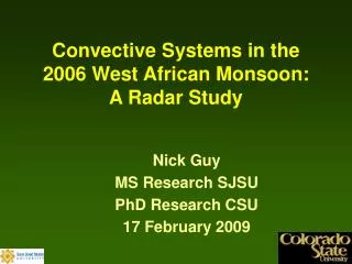
The April 18-19 2006 Livingston County Tornado: A RADAR Study. George Limpert & Jose Miranda University of Missouri-Columbia October 19, 2006. 00Z Sfc Analysis 18 April 2006. 18 April 2006: Summary. Tornadoes reported in Mercer, Livingston counties in MO

E N D
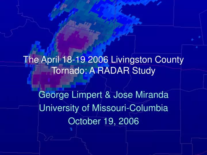
The April 18-19 2006 Livingston County Tornado: A RADAR Study George Limpert & Jose Miranda University of Missouri-Columbia October 19, 2006
18 April 2006: Summary • Tornadoes reported in Mercer, Livingston counties in MO • Supercells developed in late afternoon ahead of developing surface cyclone heading into west central MO • Steep mid-level lapse rates despite weak dynamics contributed to supercell development
1715Z 18 April 2006 Arrow indicates warm-frontal boundary from a Cameron to Marshall line
2033Z 18 April 2006 Two distinct wind shifts detected
2221Z 18 April 2006 Boundaries merge; convection begins
2243Z 18 April 2006 Cells form where boundaries merge or intersect
2308Z 18 April 2006 Storm begins to exhibit supercell characteristics
2322Z April 18th 2006 Couplet now detected in base velocity mode as convection to south merges with parent cell
Storm Relative Velocity ~2322Z Stronger rotation & V-notch note: assumption of NE motion @ 20 kts
2332Z 18 April 2006 Convection merges; moderate rotation strength
Storm Relative Velocity-2332Z Rotation intensifies as cell makes right turn note: assumption of E motion @ 20 kts
X-Section 2342Z Hail Core BWER
2352Z 18 April 2006 Strong rotation detected; on the order of 70 kts
X-Section 2347Z Hail Core BWER
2357Z 18 April 2006 Strongest Rotation; Chilicothe under the gun!
0016Z 19 April 2006 rotation starts to become rain-wrapped
0026Z 19 April 2006 Secondary circulation begins to form behind parent circulation
0031Z 19 April 2006 Southern flank of storm continues to develop note: assumption in SRV image now ESE @ 20 kts
0041Z 19 April 2006 Even though storm starts to weaken, second circulation develops
0051Z 19 April 2006 second circulation now dominant
In summary • Cell life: 2303Z 18 April - 0105Z 19 April • Cell developed supercell characteristics and made a right turn around 2357Z • 3 tornado reports in MO, 2 of which were with the cell of interest • Distinct hail cores present over eastern Daviess, western Livingston counties • BWER also detected in X-sections
In Summary as well • Convection formed along merging boundaries • Distinct wind shift from SE-SW along first boundary • Distinct wind shift from SW-NW along second boundary • Radial velocity data indicated backed winds at the surface, veering winds aloft
Thanks to: • Chris Foltz • Katy Morgan • Everyone who helped out with the chase on the 18th • NWS EAX and SPC for maps For more information: Contact Jose Miranda: jmz52@mizzou.edu