Download
1 / 8
80 likes | 221 Views
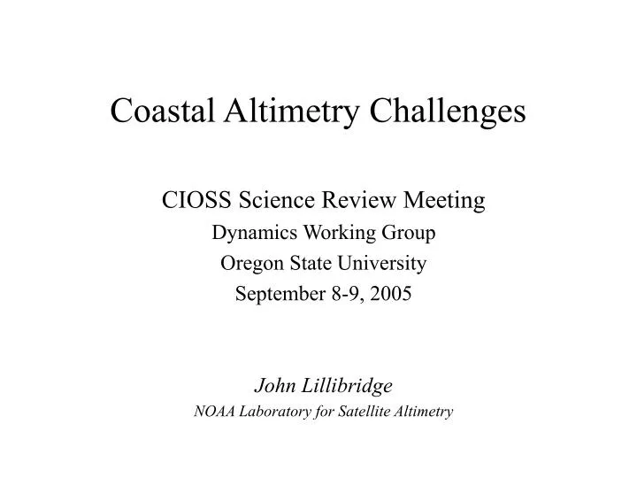
Coastal Altimetry Challenges. CIOSS Science Review Meeting Dynamics Working Group Oregon State University September 8-9, 2005 John Lillibridge NOAA Laboratory for Satellite Altimetry. Altimetry Issues in the Coastal Regime. Coverage & space/time sampling Proximity to the coast

E N D
Coastal Altimetry Challenges CIOSS Science Review Meeting Dynamics Working Group Oregon State University September 8-9, 2005 John Lillibridge NOAA Laboratory for Satellite Altimetry
Altimetry Issues in the Coastal Regime • Coverage & space/time sampling • Proximity to the coast • Contamination of radiometer by land • Small-scale tidal variations CIOSS Science Review - Dynamics WG
Multi-Mission Altimetric Coverage • Four concurrent altimeters • Topex (black) : 10 day repeat • Jason-1 (red) : 10 day repeat • GFO (green) : 17 day repeat • Envisat (blue) : 35 day repeat • Radar Altimeter Database System • All data & corrections within RADS • Normally data provided at 1 Hz (7 km) • Capable of handling 10 Hz high-rate data • Does NOT account for radial orbit errors • Coarse sampling near shore • Assimilation into coastal models • Will only get worse as we lose Topex, GFO… CIOSS Science Review - Dynamics WG
Proximity to the Coastline • 1 Hz averaged data (red) • 7 km spacing too coarse • Data gaps due to editing or radiometer contamination • 10 Hz high-rate data (black) • 700 m spacing - sufficient? • Careful near shore editing • Agility of altimeter acquiring sea surface after land/sea transition • Waveform retracking CIOSS Science Review - Dynamics WG
Waveform Retracking • 10 Hz altimeter waveforms from Geosat Geodetic Mission • Ascending ground track (black) leaves coast near Crescent City, CA • Color illustrates return power of radar return ‘echo’: • Lo-power pre-arrival noise (purple) • Track point in leading edge (blue) • Hi-power trailing plateau (yellow/green) • Correct height data when track point not centered in middle of waveform • Track crosses Pt. St. George and reacquires sea surface to the North Crescent City CIOSS Science Review - Dynamics WG
Radiometer Wet Troposphere Correction • Radiometer footprint of ~50 km > radar’s • Land contamination increases radiometer wet correction • Workarounds: • Use model wet • Extrapolate to coast with Dwet constant • Coastal met. model? CIOSS Science Review - Dynamics WG
courtesy C. K. Shum Coastal Tides • Largest errors in global models on shelf • Small scale variability • Non-linear tides: M4 and other species • Need regional tide models embedded in open-ocean model CIOSS Science Review - Dynamics WG
Future Work • Hi-Rate 10 or 20 Hz RADS database for coastal altimetry • Waveform retracking tailored to land/sea transition • Refined radiometer wet tropo. correction & flagging • Regional/Coastal tide models melded with global model • Orbit error estimation prior to multi-satellite assimilation CIOSS Science Review - Dynamics WG