Download
1 / 12
120 likes | 224 Views
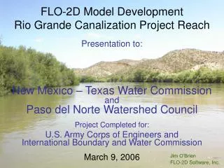
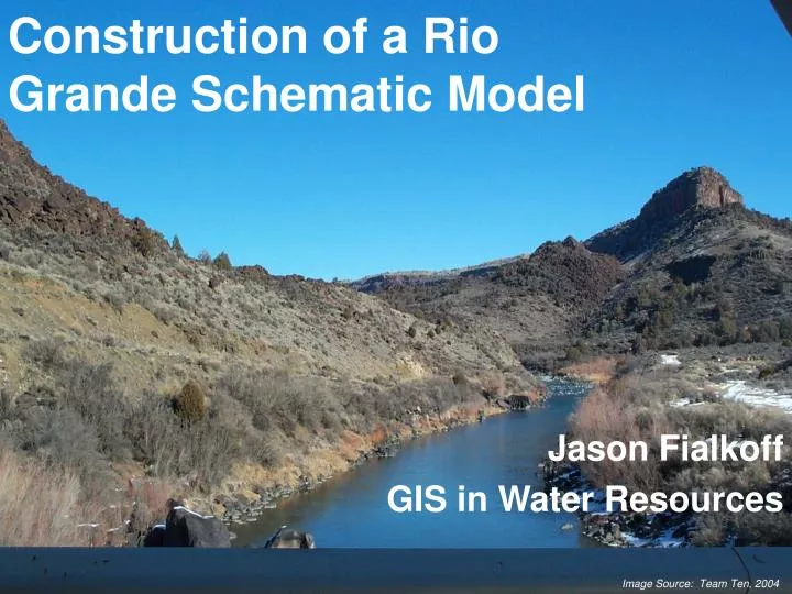
Construction of a Rio Grande Schematic Model. Jason Fialkoff GIS in Water Resources. Image Source: Team Ten, 2004. OUTLINE. Objective Background Data Collection Model Construction Future Research Questions. OBJECTIVE.

E N D
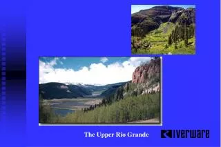
Construction of a Rio Grande Schematic Model Jason Fialkoff GIS in Water Resources Image Source: Team Ten, 2004
OUTLINE • Objective • Background • Data Collection • Model Construction • Future Research • Questions
OBJECTIVE To construct a Rio Grande schematic water model that encompasses agricultural, municipal, and reservoir demands.
BACKGROUND • Location • Prior research • Why do this?
DATA COLLECTION • Agricultural Demands (IBWC, TCEQ, CNA) • Municipal Demands (IBWC) • Reservoir Demands (IBWC, CNA)
MODEL CONSTRUCTION • Create Rio Grande schematic
MODEL CONSTRUCTION • Add Demand Nodes
MODEL CONSTRUCTION To Complete: • Add US Irrigation Districts and IBWC Stream Gages • Finish Linking Attribute Tables • Assign Flow Direction
OASIS ArcGIS Statdata.mdb NODE, ARC DATA COMBINED DATA SPATIAL COORDINATES FUTURE RESEARCH
ACKNOWLEDGMENTS • Carlos Patino • Cindy Green and Nishesh Mehta • Helpful Classmates • Dr. Maidment