Download
1 / 12
120 likes | 258 Views
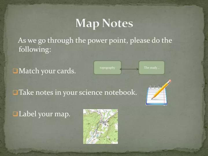
Map Notes. As we go through the power point, please do the following: Match your cards. Take notes in your science notebook. Label your map. topography. The study…. Topography. The study of the shapes and features of the Earth’s surface. Topographic Map.

E N D
Map Notes As we go through the power point, please do the following: • Match your cards. • Take notes in your science notebook. • Label your map. topography The study…
Topography The study of the shapes and features of the Earth’s surface.
Topographic Map Shows the three dimensional shape and elevations of an area of land in two dimensions
Elevation Height above sea level
Contour line Line that connects places on a topographic map that are all at the same elevation (eventually a closed loop) • Label the contour lines on your map. Contour line
Contour Line Interval The vertical difference in elevation between neighboring contour lines • Label the contour line interval on your map. contour line interval
Relief The difference between the highest elevation point and the lowest elevation point on a map 200 300 400 Units = feet What is the relief of this map? What is the contour interval of this map?
Topographic Map Rules • Contour lines are closely spaced on steep slopes. • Contour lines are widely spaced on gentle slopes.
Topographic Map Rules Where a contour line crosses a stream or valley, the contour line bends to form a “V” that points upstream. In the upstream direction, the successive contours represent higher elevations.
Topographic Map Rules • Contour lines near the top of a hill form closed, circular shapes. The top of the hill is higher than the highest closed contour line.
Topographic Map Rules • Depressions without outlets are shown by closed hatched contours. The contour lines have short lines on the inside that are pointing down slope. The bottom of the depression is lower than the lowest closed contour line.
Satellite Map A map made of pictures of the Earth taken from a satellite orbiting the Earth.