Download
1 / 22
220 likes | 360 Views
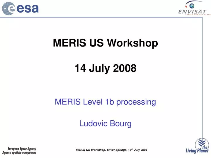
MERIS US Workshop 14 July 2008. MERIS Level 1b processing Ludovic Bourg. Table Of Content. Functional Breakdown Data extraction and saturation checks Radiometric model and calibration Stray-light correction Product grid and geo-location Spatial re-sampling Pixels classification

E N D
MERIS US Workshop14 July 2008 MERIS Level 1b processing Ludovic Bourg
Table Of Content • Functional Breakdown • Data extraction and saturation checks • Radiometric model and calibration • Stray-light correction • Product grid and geo-location • Spatial re-sampling • Pixels classification • Meteo Annotations • Product summary
Data Extraction & Saturation Checks • data is extracted from L0 according to products limits computations • time continuity is checked, overlaps removed and gaps filled (if any) • each sample is checked for saturation and flagged
Radiometric Model • L: incoming radiance • X: raw counts • b,k,m,f: band, pixel, camera, frame • A: instrument gain • C: dark signal • Sm: smearing effect • SL: stray-light (within spectrometer) • g, gc: temperature dependency of gain and dark signal • NonLin: non-linearity
Radiometric Calibration Invert radiometric model using: • Sm from dedicated virtual band • NonLin from on-ground characterisation • C & A from on-board measurements • g, gcfrom on-ground characterisation Provides
Non-linearity look-up tables • Non-linearity is significant at CCD output • It has been characterized as V=f(E) • Converted into dV=g(V) using calibration line drawn between null illumination and the calibration point (on-orbit data) and modeled • Scaled to counts using actual gain and band settings
Smearing effect • Smearing : continuous sensing during charges transfer between CCD image (exposed) to storage (masked) zones. Actual channel: t0: reset CCD t0t1: transfer to exposure: integrates blue part of spectrum [t1,t2]: in position for exposure l t2t3 : transfer to storage: integrates red part (t3-t2 ) + (t1-t0) = 1.3 ms ; t2-t1 = 42.7 ms Virtual smear channel: t0: reset t0t0+1.3: transfer to storage: integrates whole spectrum t0+1.3: storage
Smearing effect and correction • Acquisition timeline: • The virtual smear band integrates spectra acquired at ~t1 • Each actual channel of wavelength l integrates during transfer: • From UV to l at ~t1 (start of exp.) • From l to NIR at ~t2 (end of exp.) • The (next) virtual smear band integrates spectra acquired at ~t2 • Correction scheme: • Each actual channel is corrected by a weighted average of smear channel values at t1 and t2, weights being derived according to channel wavelength:
Instrument gain includes: • Solar Irradiance model • Absolute characterization of reference diffuser reflectivity (on-ground) • Instrument spectral model from on-ground + on-orbit spectral characterization • On-board diffuser measurements
Instrument gain includes: • Solar Irradiance model • Absolute characterization of reference diffuser reflectivity (on-ground) • Instrument spectral model from on-ground + on-orbit spectral characterization • On-board diffuser measurements
Instrument gain includes: • Solar Irradiance model • Absolute characterization of reference diffuser reflectivity (on-ground) • Instrument spectral model from on-ground + on-orbit spectral characterization • On-board diffuser measurements
Instrument gain includes: • Solar Irradiance model • Absolute characterization of reference diffuser reflectivity (on-ground) • Instrument spectral model from on-ground + on-orbit spectral characterization • On-board diffuser measurements
Straylight Correction • Source is scattering & reflection within spectrometer • Small contribution can be estimated from degraded signal • Can be modelled as a point spread function convolutive process • Correction using modelled PSF and approximate de-convolution
Product Grid and Geolocation Product grid definition: re-built “ideal instrument” swath • Across-track: perfectly aligned cameras along to track, inter-camera overlaps removed, regular on-ground distance sampling (geodesic at WGS-84 ellipsoid surface) • Along-track: instrument time sampling, gives quasi-regular distance Geo-location: • At Tie Points: every 16 pixels in RR, 64 in FR, in both directions (17 x 19 km) • Geo-location (longitude, geodetic latitude) at ellipsoid surface (WGS-84) • Altitude and its variability (h, sh from GTOPO-05/GTOPO-30) • Illumination and observation geometry: SZA, SAA, VZA, VAA • Approximate parallax correction provided over land
Product limits = start and stop times Product limits: RR & FR segments MER_RR__½P MER_FRS_½P
L0 extent defines TP grid • Limits based on scene centre but fits TP grid • Scene remains within product Product limits: FR Scene MER_FR__½P
Satellite ground track Spatial Re-sampling • Re-builds ideal swath from actual MERIS FOV: slightly misaligned plane + inter-camera dispersion (see figure) • Keep instrument measurements: nearest neighbour • To fill-in a given product pixel: • Across-track: detector column selected comparing across-track pointing angles • Along-track: frame offset determined from known de-pointing of selected column
Pixels Classification • Land/water and coastline based on an atlas • Bright based on radiometry (geometry dependant threshold on reflectance at 443 nm) • Glint risk based on angular distance to Sun specular reflection direction • Invalid when no data available (out of swath, gap, all bands saturated)
Meteo Annotations Are added to geolocation annotations: • u & v wind components at 10 m • mean sea level pressure • Relative humidity at 1000 hPa • Total column ozone Interpolated at TP location from ECMWF data (1x1 degree regular grid)
Calibrated in-band radiances at 1x1.2 km (0.25x0.3 in FR) • At actual instrument wavelength: no "smile" correction Level 1b product summary • 1121 pixel wide (1300 km) wide, up to 15000 pixels long(2241x2241 pixels or 560x670 km for FR scenes,4481 pixels wide, up to 12800 long for FR segment) • Classification and quality flags provided at each pixel • Detector index provided at each pixel • Geolocation and meteo provided on a 16x16 sub-grid(64x64 sub-grid in FR)
Accurate geo-referencing for MERIS • Land community expressed concerns about geo-location accuracy • A specific post-processing tool was developed to respond to this need: AMORGOS, that adds to MERIS FR per pixel geo-location accounting for Earth surface elevation • Inclusion in operational processing is considered