Download
1 / 16
160 likes | 285 Views
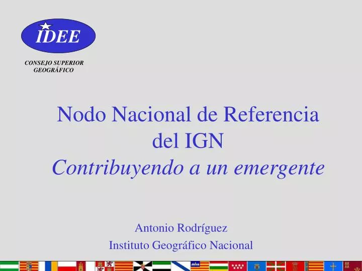
IDEE. Nodo Nacional de Referencia del IGN Contribuyendo a un emergente. CONSEJO SUPERIOR GEOGRÁFICO. Antonio Rodríguez Instituto Geográfico Nacional. IDEE. La visión nacional. CONSEJO SUPERIOR GEOGRÁFICO. CONSEJO SUPERIOR GEOGRÁFICO. IDEE: una IDE de IDEs

E N D
IDEE Nodo Nacional de Referenciadel IGNContribuyendo a un emergente CONSEJO SUPERIOR GEOGRÁFICO Antonio Rodríguez Instituto Geográfico Nacional
IDEE La visión nacional CONSEJO SUPERIOR GEOGRÁFICO CONSEJO SUPERIOR GEOGRÁFICO • IDEE: una IDE de IDEs • Nodos nacionales DR y DT • Funciones • Problemas • Conclusiones A.Rodríguez
IDEE IDE de IDEs CONSEJO SUPERIOR GEOGRÁFICO CONSEJO SUPERIOR GEOGRÁFICO 1) Niv. Nacional 2) Niv. Regional + 17 Comunidades Autónomas + 2 Ciudades Autónomas 3) Niv. Local + 8 100 Municipios CEUTA MELILLA A.Rodríguez
IDEE IDEE: Arquitectura Búsqueda nacional Búsquedas en cascada GEOPORTAL NACIONAL Nodos Nacionales NN1 NN2 Regional GEOPORTAL REGIONAL GEOPORTAL REGIONAL Nodos Regionales NR1 NR2 Local GEOPORTAL LOCAL GEOPORTAL LOCAL Nodos Locales NL1 NL2 Enlaces A.Rodríguez
IDEE Nodos nacionales (DR) CONSEJO SUPERIOR GEOGRÁFICO CONSEJO SUPERIOR GEOGRÁFICO • Nodo de Datos de Referencia (Anexos I y II) 12 - Geodesia - Cubierta terrestre - Div. Administrativa - Ortofotos - Transportes - Catastro - Hidrografía - Id. Propiedad - MDTs - Áreas protegidas • Nomenclátor - Cuadrículas • IGN, DG de Catastro, INE, IHM, CCFA A.Rodríguez
IDEE Nodos nacionales (DT) CONSEJO SUPERIOR GEOGRÁFICO CONSEJO SUPERIOR GEOGRÁFICO • Nodos de Datos Temáticos (Anexo III) 19 - U. Estadísticas - Zonas reglamentadas • Edificios - Zonas de riesgos naturales • Suelo - Cond. atmosféricas • Geología - Meteorología • Usos del suelo - Datos oceanográficos • Salud y seguridad - Regiones marinas • Servicios e instalaciones M.A. - Regiones biogeográficas • Industrias - Hábitats y biotopos • Demografía - Distribución de especies • INE, Mº de M.A. , IGME, IME, IO,… A.Rodríguez
IDEE NNR IGN: Funciones CONSEJO SUPERIOR GEOGRÁFICO CONSEJO SUPERIOR GEOGRÁFICO • Servicios de Referencia • WMS, Catálogo, Nomenclátor, WFS, WCS,… • Subsidiariamente • Ofrecer Servicios • Dar soporte, apoyo y difundir • Otros actores IDEE A.Rodríguez
IDEE NNR IGN: Servicios CONSEJO SUPERIOR GEOGRÁFICO CONSEJO SUPERIOR GEOGRÁFICO • WMS • BCN25, BCN200, IBERPIX, SERDAG • BDLL, MDT • Nomenclátor • Nomenclátor 360.000 top. • Nomenclátor Conciso 1:1.000.000 3.600 top. • Catálogo • DIGA A.Rodríguez
IDEE NNR IGN: Problemas CONSEJO SUPERIOR GEOGRÁFICO CONSEJO SUPERIOR GEOGRÁFICO • Reingeniería de datos y procesos 2) Resistencia conceptual a la revolución - Todo nuevo paradigma 3) Apenas inercias burocráticas - Apoyo decidido de la Dirección A.Rodríguez
IDEE Proyecto Piloto INSPIRE CONSEJO SUPERIOR GEOGRÁFICO CONSEJO SUPERIOR GEOGRÁFICO • SDIGER: Una IDE WFD transfronteriza para las cuencas del Adour-Garonne y del Ebro • 7 Nodos (3 ES + 4 FR) • (1 año desarrollo + 1 año mantenimiento) • Servicios (WMS, WFS, WCS, Catalogue, Gazetteer) • Acceso multilingüe (es, fr, en)
IDEE Cuencas Adour-Garonne y Ebro CONSEJO SUPERIOR GEOGRÁFICO CONSEJO SUPERIOR GEOGRÁFICO A.Rodríguez
IDEE Participantes CONSEJO SUPERIOR GEOGRÁFICO CONSEJO SUPERIOR GEOGRÁFICO • Consorcio IGN-FI + UNIZAR + CNIG • Colaboradores • L’Agence de L’Éau Adour-Garonne (FR) • Confederación Hidrográfica del Ebro (ES) • Ministry of Environment (Local Agency in Toulouse) • GIS-ECOBAG Association • IGN (ES) A.Rodríguez
Specific services Spain Ebro River Basin IGN-Spain University of Zaragoza Metadata< Metadata< Metadata Geographic Data Geographic Data WCS Gazzetter Distributed Catalog Services Catalog Catalog WFS WMS Catalog WMS www Applet WMS Client HTML Catalog Client Seismology Fires Avalanches Floods INTERNET France Web Applications GIS-ECOBAG Environment Ministry IGN-France Adour Garonne Metadata< Geographic Data Geographic Data Geographic Data WFS HTML WMS Client WCS Geographic Data WFS Gazzetter WFS WFS WMS Catalog WMS Portal IDEE Servicios CONSEJO SUPERIOR GEOGRÁFICO CONSEJO SUPERIOR GEOGRÁFICO A.Rodríguez
IDEE Conclusiones CONSEJO SUPERIOR GEOGRÁFICO CONSEJO SUPERIOR GEOGRÁFICO • Factor clave (GINIE) • Compenetración actores tecnológicos/gestión • Palabras clave • Compartir • Solución de Nash • La ética hacker (Pekka Himanen) • Emergente • La colmena es más lista que la abeja A.Rodríguez
IDEE CONSEJO SUPERIOR GEOGRÁFICO CONSEJO SUPERIOR GEOGRÁFICO “La verdad no conoce fronteras. La información necesita ser libre. La tecnología es la clave” Peter Gabriel A.Rodríguez
IDEE Muchas gracias por vuestra atenciónAntonio Rodríguez PascualINSTITUTO GEOGRÁFICO NACIONALJefe de Servicio de SIGTel.: +34 1 597 96 61Fax.: +34 1 597 97 64afrodriguez@mfom.es CONSEJO SUPERIOR GEOGRÁFICO CONSEJO SUPERIOR GEOGRÁFICO A.Rodríguez