Download

1 / 12
120 likes | 321 Views
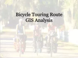
Bicycle Touring Route GIS Analysis. Analysis Goal. To determine the feasibility of using GIS analysis in identifying a prospective bicycle touring route that is safe, visits a majority of historic sites, and has easy access to services while keeping the degree of slope to a minimum. Data.

E N D
Analysis Goal To determine the feasibility of using GIS analysis in identifying a prospective bicycle touring route that is safe, visits a majority of historic sites, and has easy access to services while keeping the degree of slope to a minimum.
Data • USGS DEM files • 30 meter resolution • Downloaded from the USGS seamless data distribution service • Public domain • Loudoun County road data • Downloaded from the USGS seamless data distribution service • Public domain
Data • Loudoun County border • Downloaded from USGS seamless data distribution service • Public domain • Point data • Manually created
Derived Data • Slope raster • Slope cost raster • Road cost raster • Combined cost raster • Cost distance files
Analysis • Created slope cost raster • Roads overlay • Created roads cost raster • Feature class code • Reclassify • Created combined cost raster • Raster calculator
Analysis • Created point vector files • Created cost distance files • Distance to a source point from each cell • One file for each point • Run cost path command • Once to calculate path between two points • Create profile graph
Conclusions • Using GIS analysis to identify possible bicycle routes is feasible • Routes will need to be driven in order to assess the validity of the results • Model will possibly be more accurate with the use of LIDAR data • Inclusion of additional road attributes should also improve results
Conclusions Use scripting Needs to be compared to actual ground Raster does not provide directions so method to interface path with vector road network would be beneficial Next step is to apply to entire JTHG to test large area analysis