Download
1 / 14
140 likes | 244 Views
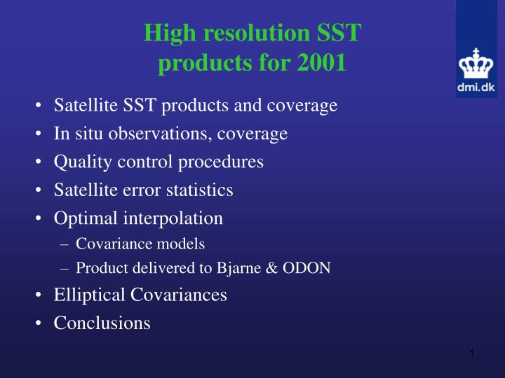
High resolution SST products for 2001. Satellite SST products and coverage In situ observations, coverage Quality control procedures Satellite error statistics Optimal interpolation Covariance models Product delivered to Bjarne & ODON Elliptical Covariances Conclusions. Introduction.

E N D
High resolution SST products for 2001 • Satellite SST products and coverage • In situ observations, coverage • Quality control procedures • Satellite error statistics • Optimal interpolation • Covariance models • Product delivered to Bjarne & ODON • Elliptical Covariances • Conclusions
Introduction Objective • Construct an interpolated high-resolution SST product for year 2001. • Assess the data availability • Satellite products: • O&SI SAF (NOAA 14+16), resolution 2 km • BSH SST (NOAA 12) • Baltic Sea, resolution 1.2 km • North Sea, resolution 1.5 km Only nighttime observations. Day-night difference up to 1.5 deg in the mean and annual variation
Satellite coverage Averaged in 20 km and 3 days Nov 1- June 1 June 1-Nov 1
Adjust BSH SST to SAF SST • Compare coinciding SAF and BSH satellite observations • Annual variation in the differences, largest for the Baltic SST product • Adjust BSH to SAF on daily basis to obtain a consistent satellite product
In situ SST observations Averaged in 20 km and 3 days • From: GTS, Bouys, Ferrybox, Research cruises, etc. • ~200000 SST observations for 2001 Green: Bouys Blue: Surface Red: Profiles
Quality control • Construct a pseudo climatology • Cloud erosion filter • Variability criteria and standard deviation filter: No hard limits, all QC based upon statistics. • Removed 5-10 % of both satellite and in situ data. • QC: Improved the comparisons 0.2 degree std dev., equally important on in situ and satellite observations.
Satellite error statistics 1) Errors of the satellite products Bias used to skin-bulk SST correction Accuracy of corrected SST
Satellite error statistics 2) Other conclusions from report, which will be available within 2 weeks: • Differences vary substantially between different types of in situ observations • Annual variation in the in situ – satellite differences • Larger errors at cold and warm SST • Daytime observations have smaller bias and larger std dev (0.66 – 0.79 deg) Mean difference Standard deviations
Fill the gaps: Optimal Interpolation • Uses steady state statistics • x, y and t covariances calculated from satellite observations • Spatially varying covariance models are fitted to data • Multiplatform, individual noise on observations • Same covariance model for satellite and in situ observations • OI is performed on anomalies (annual and semiannual variations subtracted)
Covariance models Model determined from mean correlations In x and y r(x) = exp(ax0.5) In time r(t) = exp(at0.85)
Spatial variation of parameters • Regional differences in the x,y and t correlation model parameters
OI product to ODON/Bjarne • 10 by 10 km, grid every 12 hours in 2001 • Used 8 or 4 observations • Search radius 3 days • Areas outside domain filled with ECSSTs Predictions compared against independent observations:
Elliptical covariances nature not x or y oriented
Conclusions • SAF and BSH satellite products have been validated with in situ observations • Satellite Coverage is about 67% for North Sea and 61% for the Baltic Sea (for 20 km and 3 days averaging) • In situ coverage is 10% for the North Sea, 5 % for the Baltic Sea. • A skin—bulk correction has been applied to the satellite SSTs and the accuracy is 0.6oC. • Quality control procedures are important both for in situ and satellite observations. • Optimal interpolation in time and space has been used to fill the gaps where no in situ or satellite observation exist • 12 hourly SST fields delivered to the ODON project • The accuracy of the OI product is max 0.82oC • Elliptical covariances may be important in some areas in the region