Download
1 / 35
350 likes | 580 Views
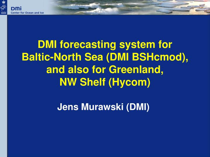
DMI forecasting system for Baltic-North Sea (DMI BSHcmod), and also for Greenland, NW Shelf (Hycom). Jens Murawski (DMI). DMI BSHcmod: An operational Baltic and North Sea model History Model features Quality Ongoing developments An introduction to DMI drift model

E N D
DMI forecasting system forBaltic-North Sea (DMI BSHcmod), and also for Greenland,NW Shelf (Hycom) Jens Murawski (DMI)
DMI BSHcmod: An operational Baltic and North Sea model History Model features Quality Ongoing developments An introduction to DMI drift model N. Atlantic/Greenland model – HYCOM Wave model - WAM Agenda
2000: BSH kindly provided its operational model BSHcmod 2000: BSHcmod run operationally in DMI with DMI forcing 2003: Information system – http://ocean.dmi.dk 2004: SST assimilation (ODON) 2005: MERSEA Baltic V1 2006: MERSEA Baltic V2 1998: DMI operational oceanography section 2005: DMI Marine Forecasting Centre 2006: DMI Centre of Ocean and Ice 2006: Marine Ecological Modelling Centre (Jointly by DMI-NERI-DIFRES) History of BSH/DMIcmod Organisation of the DMI
Forcing Meteo. Forcing - DMI-Hirlam 15km/5km, 60/54 hours prognoses • River runoff: • realtime data from • (SMHI, BSH) & adjusted climatology for the rest • Open boundary: • T/S: dynamic boundary • from POLCOMS Monthly climatology • Water level: Tides, surge, • baroclinically corrected • water level
Current DMI 3D ocean model: BSHcmod • BSHcmod, provided by BSH 2000, developed by DMI • 3 nested layers: 6-3-0.5nm • Coupled ocean-ice • two way nesting • Flooding-drying • 50 layers (8-2-2…-50) • Twice daily, 54h forecast • Daily river runoff + climatology NEA: 6 nm, NS/BS: 3 nm, IDW: 0.5 nm
DMI BSHcmod: new features 1.) Surface heat flux: Windspeed & Airtemp. dependent 2.) Including vertical Penetration of short wave radiation 3.) Vertikal mixing:K-epsilon, k-omega model adapted 4.) Horizontal mixing: a new term to control div/conv. 5.) Surface momentum flux: currents dependent 6.) Simplified & Full ensemble Kalman filter for SST assimilation
Surface heat flux (cont.): SSTChange heat flux coeffcient, Kara et al. (2000) CL= f (W,Ts–Ta) Bias [Cº] Comparisson with ODON data for 2001 SST Bias improves ~ 0.1°C
Vertical mixing Improving diffusivities of momentum, heat and salt • k-ε turbulence model e.g. Axell, JGR (2002) • stability functions in terms of shear and gradients of S and T Canuto et al., JPO: Part I (2001) + Part II (2002)
DMI cmod validation k-ω based mixing scheme: salinity in Great Belt (preliminary) Ref. k-ω Days since 2000/07/15
Bottom temperature:FYN6700053 Old k-ω New k-ω spring summer autumn winter
Wind friction Wind induced shear stress is current velocity dependend k-ω surface boundary conditions are z0 dependend z0 is either const. or sig. wave heigth dep.
Southern Baltic Sea color: windspeed arrows: currents (magnitude and direction) color: currents (magnitude) arrows: currents (direction) New: currents dependend wind friction and wave height dependend roughness length
Water level forecasts, peak error DK stations, 2002-2004, 4 models Cmod: <10% in 2004 MIKE 21: 2D FD; official storm surge model; ~18% 2002-2004 MOG2D: 2D FE, from 2003 Staumod: 2D version of Cmod, no stations in IDW Staumod 2004 Staumod 2002 Staumod 2003 MOG2D 2003 MOG2D 2004 Mike21 2003 Mike21 2002 Mike21 2004 Cmod 2004 Cmod 2002 Cmod 2003
Data assimilation, SST: Larsen et al., JMS 2006 DA model runs for 2001 by assimilating SST from different products (NOAA 12, 14, 16)
BSH/DMIcmod results Surface currents Salinity kts psu
Comparison of satelite SST with simulated temperature values
Model-data comparison: Drogden Buoy station, T/S at 3.6m (inflow signals) Temperature, year 2004 Salinity, year 2004 Observation (red) Model data (blue) Bias(z) = -0.7 ,..., -0.3 Std(z) = 0.6 ,..., 1.1 Bias(z) = -0.03 ,..., 0.8 Std(z) = 2.0 ,..., 2.6
NOVANA station VSJ 20925 (southern Kattegat) Surface Temperature 1.0m Bottom Temperature 36.6m Bottom Salinity 36.6m Surface Salinity 1.0m
North Atlantic/Greenland modelling depth maps:Etopo20.5deg-10km res.22 layersdata assim.:sst2x/day, 66hECMWF 6hly forcing
Outline 1) Ocean modelling: HYCOM setup for the Atlantic and Arctic Ocean (~50 km) Nested around Greenland (~10 km) 2) Drift modelling for 2005: Random walk diffusion Normal distributed in time (40 days window), 1000 particles 2a) Drift as eggs: On top of the Irminger Water component (use fixed density), First feeding larvae after 300 degree-days 2b) Drift as pelagic larvae Surface: 20m, 40m, 60m (use fixed depth) Exponential temperature dependent increase in weight: Wi~Wi-1*exp(T) Settling when reaching 210 mg dry weight
Operational forecast for Greenland • Currents • Salinity • Temperature • Mixed layer deepness • Ice thickness and concentration Profiles at Diskobay position SST monthly mean SSS monthly mean
Drift modelEmergency module, used primarily for oil spillOther apllications, floating object, dissolved substance, fish larvae drift, …Circulation model add-on module (HYCOM or BSHcmod)
The Fu Shan Hai collision, May 2003 The vessel sank at 68m depth, and began to leak fuel oilThe oil rises as a plume from the sunken ship
Wave model WAM Cycle4 depth maps:Etopo5sea ice:NCEP0.5deg-10km-2km resolution4x/day, 60h
Wave-current interaction • DMI BSHcmod-WAM coupling • Two-way interface ready • WAM with current refraction running pre-oprational • More coupling mechanisms to be added: (Wave induced mixing)
Wave-Current interaction,01.10.2007 12:00 Windspeed up to 20m/s Differences of about ± 1m around Greenland Sign. wave height up to 7m Δ(sign. wave height) = 1m,…,1.5m
SPM modelling • GKSS SPM model is coupled with DMI BSHcmod • Wave influenced vertical exchange of SPM • Horizontal advection as passive tracer (Cmod)
Ecological modelling • DMI BSHcmod-ERGOM coupling • Framework ready, in model calibration • Assimilating satellite chl-a • Operationalisation
ERGOM Sediment concentration regulates the penetration depth of light Sediment dynamik influences the nutrients concentration in the water column.
Thank you!! HTTP://OCEAN.DMI.DK


![[Updated] PDDM Exam Dumps PDF](https://cdn4.slideserve.com/7889136/slide1-dt.jpg)