Download
1 / 26
260 likes | 470 Views
Content. Considerations in use of dataUnzip dataData formatsData conversionResourcesQ

E N D
2. Content Considerations in use of data
Unzip data
Data formats
Data conversion
Resources
Q&A
3. Considerations
4. Content Considerations in use of data
Unzip data
Data formats
Data conversion
Resources
5. Unzip Digimap data.zip files
6. Unzip OS MasterMap data files
7. GZip files Windows standard unzip will not work � try:
Gzip, 7Zip, WinZip
May not be necessary to unzip the GZip file, depending on conversion requirements
8. Content Considerations in use of data
Unzip data
Data formats
Data conversion
Resources
9. Data in Digimap � 2 types
10. Raster data format Digimap raster data are supplied as TIFF files -mMost GIS or CAD software will accept TIFF image files, with no need for conversion.
TFW files also supplied, which contain the geographic location of your TIFF files.
Remember to keep the supplied TIFF files and the TFW files in the same folder! Otherwise your GIS software cannot locate the TIFF geographically.
11. Vector data formats
12. Vector data formats NTF (National Transfer Format)
GML (Geography Mark-up Language)
DXF (Drawing Exchange Format)
SHP (ArcView Shapefile)
MID/MIF (MapInfo export format)
For more details on formats, see the EDINA guide �OS Collection: data formats and conversion guidance�:
http://edina.ac.uk/digimap/support/training/
13. MID/MIF format
On Windows-systems, the .mid file is often recognized as a midi (music) file and doubleclicking on it usually opens some application like SoundRecorder or WinAmp, with predictable results.
On Windows-systems, the .mid file is often recognized as a midi (music) file and doubleclicking on it usually opens some application like SoundRecorder or WinAmp, with predictable results.
14. MID/MIF format
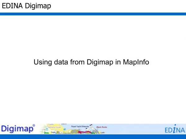
15. TAB format MapInfo works with TAB (table) files; it is MapInfo�s native format.
MID/MIF files are imported to MapInfo as TAB format. Necessary to name and specify a location for the new TAB file, when importing MID/MIF.
Several component files are required to view a data set in MapInfo.
16. TAB component files .DAT (The file which stores the attribute data. This usually a dBase III DBF file)
.ID (Stores information linking graphic data to the database information)
.MAP (Stores the graphic and geographic information needed to display a map on the users screen)
.IND (Optional index files for tabular data. This is present if any fields are indexed)
.TAB (The ASCII file which is the link between all other files and holds information about the type of data file)
17. Content Considerations in use of data
Unzip data
Data formats
Data conversion
Resources
18. NTF data Convert to MID/MIF format, using NTF2MIF
19. NTF2MIF http://www.bodley.ox.ac.uk/users/nnj/translat.htm
20. GML (MasterMap) data 2 options:
Convert to MIF/MID format, using OSM2MIF convertor
Convert to TAB format using InterpOse
21. OSM2MIF http://www.bodley.ox.ac.uk/users/nnj/translat.htm
22. InterpOse InterpOse Digimap edition - free download for GML data:
http://www.dottedeyes.co.uk/spatial_data_loading/interpose/digimap.php
Necessary to register first, with *******.ac.uk email address
Converts GML data to TAB format
23. GML (OS VectorMap Local) data Free download:
http://www.rolta-europe.com/osvector.html
Converts OS VectorMap Local to TAB format
24. Content Considerations in use of data
Unzip data
Data formats
Data conversion
Resources
25. Help pages
26. Resources http://edina.ac.uk/digimap/support/training/
Available for you to download, edit and redistribute
27. Resources Ordnance Survey website:
General product information:
http://www.ordnancesurvey.co.uk/oswebsite/products/
Guidance on software for use with OS MasterMap:
http://www.ordnancesurvey.co.uk/oswebsite/products/osmastermap/information/technical/software.html