Download
1 / 11
110 likes | 293 Views
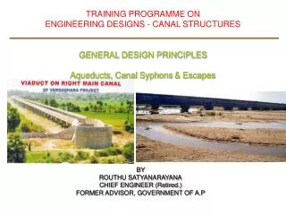
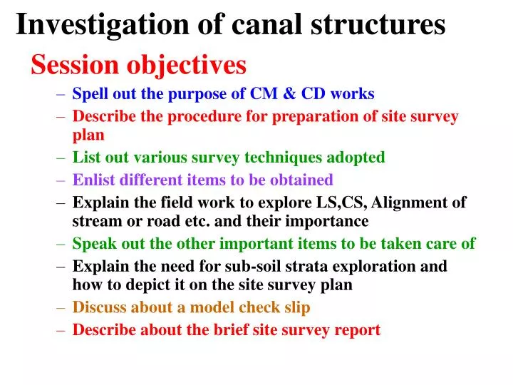
Investigation of canal structures. Session objectives Spell out the purpose of CM & CD works Describe the procedure for preparation of site survey plan List out various survey techniques adopted Enlist different items to be obtained

E N D
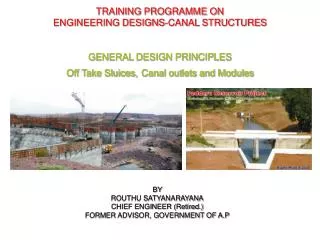
Investigation of canal structures Session objectives • Spell out the purpose of CM & CD works • Describe the procedure for preparation of site survey plan • List out various survey techniques adopted • Enlist different items to be obtained • Explain the field work to explore LS,CS, Alignment of stream or road etc. and their importance • Speak out the other important items to be taken care of • Explain the need for sub-soil strata exploration and how to depict it on the site survey plan • Discuss about a model check slip • Describe about the brief site survey report
Investigation of canal structures Introduction Purpose Agency Quantification
List of items to be collected • List of Benchmarks • Hydraulic particulars • List of structures existing u/s & d/s of the proposed structure • Index plan • Village plan • Leads of constn. material
Conducting survey work 1.Block leveling • In general a contour map of area about 400 m all-round to a scale of 1cm = 10 m • Specific guidelines are available vide annexure • Contours at 1 m are drawn and interpolated at 0.30 m • Special features viz mounds, dips, & other natural topographical features, presence of monuments etc. are to specifically mentioned in the plan
Conducting survey workContd. 2.Longitudinal section of canal, drain or road • The LS is to be taken 1KM on either side of crossing at the same interval as adopted earlier • The LS is to be plotted to scale of • Horizontal --- 1cm = 10 m • Vertical --- 1 cm = 1 m
Conducting survey workContd. 3. Plan of drain or road • The plan of drain or road is to explore through chain & compass and drawn on the contour plan to know the course 4. Cross sections of drain or road • CS are to taken at 100 m, 200 m, 400 m, & 800 m along the drain with levels at 3m, interval • Useful for computation flood discharges
Conducting survey workContd. 5. Catchment area of the stream • The catchments area of the stream is to actually traced on the ground it is area is less than 1 Sq. Mile with chain & compass using closed traverse • If the catchments area is more than 1 Sq. mile, it is to be obtained from the toposheet
Conducting survey workContd. 6. Other particulars to be furnished • Details of sub-soil strata • Explored through trial pits-number depends on the size of the structure & site condition • A minimum of 3 pits for a small structure-one at both the abutments, one at the pier • Bore holes • Maximum flood levels
Other points to be kept in mind • Possibility of diverting the stream or road • Each crossing is to be treated as an independent one however close they may be • Before commencement of work it is beeter to check the instruments for their accuracy • As far as possible all crossings should be at right angles
5.Check slip 6. Brief report of the site survey