Download
1 / 15
150 likes | 254 Views
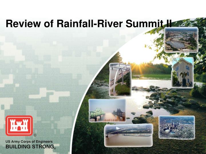
Review of Rainfall-River Summit II. Purpose of Summit. Discuss what went well with forecasting during the recent 2009 flood events, what did not go well and forecasting improvements that each agency can make individually and collectively for future floods and low events.

E N D
Purpose of Summit • Discuss what went well with forecasting during the recent 2009 flood events, what did not go well and forecasting improvements that each agency can make individually and collectively for future floods and low events. • A public open house on 19 October 2009 was conducted to hear concerns from industry and interested members of the public on rainfall-river forecasting issues.
Federal Panel Members Senior Representatives Technical Representatives National Weather Service Dr. Thomas M. GrazianoSteve Buan Chief, Hydrologic Services Division Service CoordinationHydrologist Headquarters, Office of Climate,North Central River ForecastCenter Weather and Water United States Geological Survey Robert R. Mason Assistant Chief, Office of Surface Water U.S. Army Corps of Engineers Colonel Thatch ShepardChuck Shadie Deputy Commander, Mississippi Valley Division Watershed Management Team Mississippi Valley Division
Stakeholder Panel • Mr. Clifford Barth, Mayor, Breckenridge, MN • Ms. Terri Smith, MN Department of Homeland Security & Emergency Management (HSEM) • Mr. John Wheeler, Meteorologist, WDAY-TV, Fargo, ND • Mr. Sammy Dickey, River Industry Action Committee
What Went Well • Coordination – Between Agencies, Divisions, Districts, State & Local Government, Industry, Public. The State EOC felt that the Pre-flood meetings, daily conference calls with the NWS went well. • Data Exchange – The following are used for data dissemination: Rivergages.com, MVP-WC website, NWS websites, USGS websites • New Products – NWS Ensemble forecasts, Rating Curve Depot, NEXRAD, real-time satellite imagery. • Instrumentation – Rapid deployable temporary gages, New instrumentation development • Personnel – Cross training of personnel, deployment of personnel between agencies, co-location of agencies. Technical agencies being in the state EOC were “priceless”. • Resources – Use of resources appropriately, putting resources where they were needed
What Did Not Go Well • Rainfall – More rainfall occurred than forecasted, resulting in record river stages which were not forecast with sufficient lead time • River Forecasts – Frustration in daily increases in crest predictions. Several differing forecasts for same reach of river; Public expectations are getting higher faster than we are; Different customers want different answers (forecasts) - Some want the actual forecast, some want a range. Deterministic vs. Probabilistic creates problems with correct usage. • Flood Warning – NWS message not always conveyed effectively; ie: too many acronyms. Warnings need to be kept in effect to keep the threat of flood. Fargo cable-company is set up to interrupt TV signal to say if Flood Warning is in effect and sometimes this interrupts important news coverage. Public saw a flood warning as if the dikes were breached.
What Did Not Go Well • Public Involvement – Did not fully engage public on all occasions • Information Exchange – One size does not necessarily fit all for information sharing. A need exists for distributing critical information through different avenues than high tech devices because some flood response members do not have access to internet (etc) during emergency operations. • Data – Media members have trouble understanding probabilistic numbers, therefore, only focus on the 50% probabilistic forecast. The numbers that the NWS include in their forecasts are carried out to the tenths place which does not reflect the amount of uncertainty in these numbers.
What Improvements Can Be Made • River Forecasts – More accuracy in predictions and more information about flood probabilities. Wants to ensure that the human component is taken into consideration when these predictions are made public. Need a clearer explanation on the NWS site. Need to show how and why the forecast has been updated. Small communities, readiness is key, they cannot sit and wait. • Discharge Measurements – need to get critical ranges established; need to look at our procedures to get these measurements; need consistent procedures for discharge measurements.
What Improvements Can Be Made • Gages – No systematic approach to where gages are located. Costs of high stage stations are less costly than gages that measure full range of data. With budgets being cut, a need exists to determine critical gages at various levels of importance. Gages have been maxed out where high flow becomes immeasurable. NWS equations can still cover max flows. • Flood Warning – The NWS needs to issue warnings, but the frequency at which they are re-issued needs to be evaluated. Emergency messages should be in “plain English”. • Rating Curve extensions issues need to be addressed - Curves should be extended before extreme events occur
What Improvements Can Be Made • Need to educate people on how to get stage info – Need for more user-friendly information. Too many websites to find various information. • Wave of the future is probability forecasting - Ensemble forecast; Contingency forecast • Instant Messaging – Utilize cross-agency instant messaging to relay critical information, such as levee overtopping/breaching as soon as they’re identified • Develop a protocol for Phone Conferences – this will allow info to be received in a timely manner • Technical experience - Develop means to captured experience from retiring personnel
Stakeholder Input • The Mayor of Fargo provided a letter which addressed the frustration with the daily increases in the 2009 crest predictions. Would like more accuracy in the predictions along with more information about flood probabilities and to ensure that the human component is taken into consideration when these predictions are made public. • The Mayor of Grand Forks also provided a written statement that expressed similar disappointment with the short notice of increases in predictions. Would like for an improvement in the availability of long-term forecasts. • RIAC also addressed concerns of the River Industry. The main concern is the QPF (no-rain) 14-day forecasting, river lows for boat drafts, and consistency (the morning tends to always be on the high side). Questioned if there is quality control on the forecasts. The 3, 5, 7-day forecasts are usable, the 14-say and 28-day forecasts change too much to use.
Stakeholder Input • Stakeholder panel members agreed that there is “no easy answer”, that predicting floods is hard and that “one-size does not fit all”. • Media members, public, state EOC’s have trouble understanding probabilistic numbers and there is a need for user friendly information via the websites. • The NWS could provide a summary statement that highlights changes in the forecasts and explanation of these changes. • Probabilistic forecasts are too specific and deterministic are not user friendly.
Summit Results • Provided a much needed forum for the federal agencies to openly discuss the accuracy of current fiver forecasts and methods for improving future forecasts. • Provided an opportunity for members of the public to express their concerns to these federal agencies in regards to the importance of accurate and timely forecasts. • NWS will continue to make data easily interpretable; recognize the need to provide narratives when forecasts are updated/changed. • The perceived accuracy to the tenth of a foot is a problem that has been recognized and they will continue to develop a solution.
Summit Results • The flood warnings must be kept in effect to keep the threat of flood aware to the public, but the frequency at which they are re-issued needs to be evaluated. • Possible establishment of a national team that works on verification and guidance that could develop metrics with possible Academic/University level involvement. .
What Next??? • COE currently drafting Summit Report, should have draft for comments by Thanksgiving. • Need recommendations from each Agency concerning next steps • Fusion Team Next Actions • When will we be able to say “This is as good as we can get!” • Please send any additional info to Jodi Kormanik-Sonterre via email Jodell.L.Kormanik-Sonterre@usace.army.mil