Download
1 / 15
150 likes | 390 Views
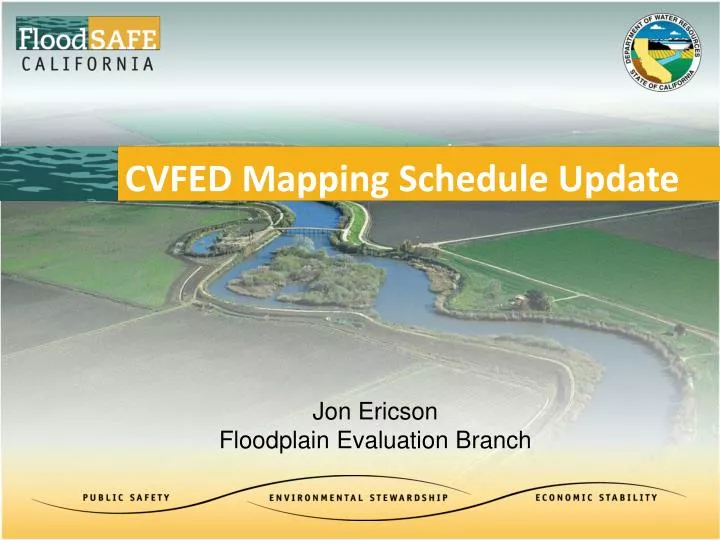
CVFED Mapping Schedule Update. Jon Ericson Floodplain Evaluation Branch. Senate Bill 1278 ( Wolk ). SEC. 5. Section 9610 of the Water Code is amended to read: On or before July 2, 2013

E N D
CVFED Mapping Schedule Update Jon Ericson Floodplain Evaluation Branch
Senate Bill 1278 (Wolk) SEC. 5. Section 9610 of the Water Code is amended to read: • On or before July 2, 2013 • For the purpose of providing information to cities and counties necessary for their determinations relating to level of flood protection • DWR shall release floodplain maps that identify at a minimum the facilities of the SPFC, and • Available data as to the water surface elevation of flooding in urban areas in the event of the failure of the facilities of the SPFC during flooding that has a 1-in-200 chance of occurring in any given year
Senate Bill 1278 Maps SEC. 5. Section 9610 of the Water Code is amended to read: • On or before July 2, 2013 • For the purpose of providing information to cities and counties necessary for their determinations relating to level of flood protection • DWR shall release floodplain maps that identify at a minimum the facilities of the SPFC, and • Available data as to the water surface elevation of flooding in urban areas in the event of the failure of the facilities of the SPFC during flooding that has a 1-in-200 chance of occurring in any given year
SSIA Urban Level of Protection 3.2 Urban Flood Protection DWR will evaluate and participate in projects that contribute to achieving an urban level of flood protection through reconstructing, rehabilitating, or improving SPFC facilities for the following urban areas in the Central Valley: • City of Chico • Yuba City and City of Marysville • Sacramento Metropolitan Area (Sacramento & West Sacramento) • Cities of Woodland and Davis • City of Merced • Stockton Metropolitan Area (Stockton & Lathrop)
SSIA Section 3.2 Urban Flood Protection • Improvements to urban levees or floodwalls should follow DWR’s Urban Levee Design Criteria(anticipated 2012), at a minimum.
H&H and Geotechnical Criteria • 6.2 Geotechnical Design Principles • 6.3 Hydrologic and Hydraulic Design Principles • 7.1 Design Water Surface Elevation • 7.2 Minimum Top of Levee
ULDC Restored System Flow Delivery Not Existing Conditions 1955/1957 Profiles 200-yr protection for urban areas
SB 1278 Urban Study Area Models • Hydrology • CVHS models have been modified to meet ULOP/ULDC flow delivery criteria (Restored System, not Existing Conditions) • Urban Levees raised to 200yr WSE +3ft Freeboard • Non Urban Levees raised to 1955/57 Design Profile • Routed flows may overtop but do not fail upstream levees • Hydraulics & Mapping • CVFED Models configured to ULOP/ULDC (Restored System) • Urban SPFC Levee Segments breached @ geotech levee reduction height • Composite Urban Study Area Floodplain developed • Geotechnical- Coordination with ULE/NULE Program • Initial Urban Levee Delineation developed • Levee Reliability Criteria developed (Stability/Thru seepage/Under Seepage/Freeboard)
CVFED Mapping Deliverables Summary • 10 Urban Areas, SB 1278 Informational Map Books that: • Identify facilities of the SPFC • Apply ULOP/ULDC State criteria • Provide Urban Area 200 yr WSE in the event of failure of the SPFC facilities • Delivery Starting Today
Username: CVFED_GEN Password: featherriver Username: CVFED_GEN Password: featherriver CVHS Factsheet & Web Forum CVHydrology.org Username: CVHS_GEN Password: featherriver
Username: CVFED_GEN Password: featherriver Username: CVFED_GEN Password: featherriver CVFED/SB 1278 Factsheet & Web Forum CVFED.org Username: CVFED_GEN Password: featherriver