Download
1 / 15
150 likes | 153 Views
The Hurricane Intensity Forecasting Experiment (IFEX) is a multi-year field program by NOAA/AOML/Hurricane Research Division to enhance tropical cyclone intensity forecasts. Through improved measurement technologies, real-time monitoring, and data collection, IFEX aims to improve our understanding of the processes that affect TC intensity change.

E N D
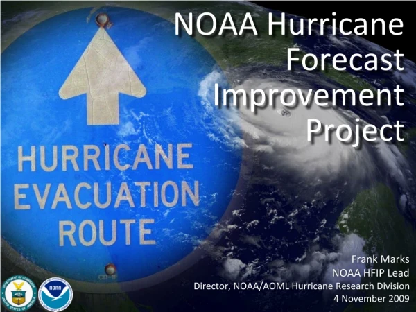
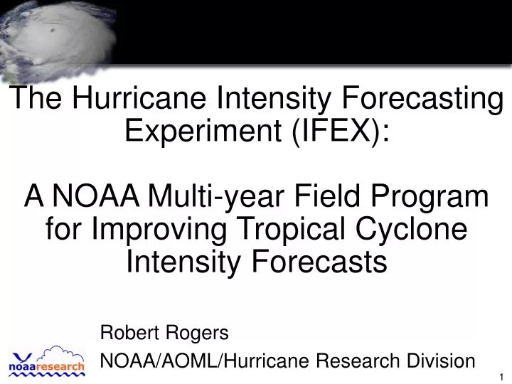
The Hurricane Intensity Forecasting Experiment (IFEX): A NOAA Multi-year Field Program for Improving Tropical Cyclone Intensity Forecasts Robert Rogers NOAA/AOML/Hurricane Research Division
Tropical Prediction Center Performance Measures Official 48-h forecast errors from 1990-2004 43% improvement for track 17% improvement for intensity Track (nm) Intensity (kt)
NOAA Intensity Forecasting Experiment (IFEX) GOALS: Through a partnership with HRD, NHC, EMC, and AOC, improve forecasts of tropical cyclone intensity by • developing and refining measurement technologies that improve real-time monitoring of TC intensity and structure; • collecting observations that span the TC lifecycle in a variety of environments to improve the operational numerical modeling system (e.g., HWRF and next generation global models); and • improving our understanding of the processes important in TC intensity change (e.g., phase changes of moisture and surface fluxes of heat, moisture, and momentum)
Vertical cross-section of Doppler winds Lower-fuselage radar image for Hurricane Katrina 1028 UTC 29 August 6 6 9 9 1-km kt 136 90 113 45 0 22 68 Doppler-derived winds at 1 km 1-km altitude NEW Observing technology:Real-time Doppler Radar analyses • Airborne Doppler radar: • 1st transmission of real-time quality controlled observations and analyses to NHC from aircraft in Hurricane Katrina (27 August, again on 28 August). • Can allow for the diagnosis of wind structure and intensity in real-time • 38 real-time analyses (including Katrina, Ophelia, Rita, Wilma were sent via SATCOM to NHC. http://www.aoml.noaa.gov/hrd/project2003/doppler.html
Katrina 110 100 90 80 70 Low bias at high wind speeds reduced 0930 UTC 29 August H*Wind analysis (including Air Force flight-level winds) 0930 UTC 29 August H*Wind analysis (including NOAA SFMR winds) 100 90 80 70 NEW Observing technology:Improved SFMR algorithm for high winds • SFMR: • 1st season with both NOAA WP-3D aircraft operating new commercial SFMR transmitting surface wind estimates back to NHC. • Numerous storms with winds>50 m/s enabled evaluation and modification of operational algorithm to improve surface wind estimation >50 m/s. See http://www.aoml.noaa.gov/hrd/project2005/sfmr.html
P-3 Doppler comparisons with Aerosonde winds Wind measurements (kt) from 15-20 UTC Aerosonde (black) P-3 (light blue) Buoy (dark blue) NEW Observing technology:Aerosonde UAV Flight tracks of Aerosonde, P-3 in Ophelia • Aerosonde UAV: • 1st successful flight (including recovery of aircraft) of a UAV into core of a tropical cyclone in Tropical Storm Ophelia on 16 September. • Data from UAV was transmitted to NHC in real time See http://www.aoml.noaa.gov/hrd/project2005/aerosonde_update.html
NEW Observing technology:Real-time data transmission to/from aircraft P-3 LF imagery overlain with flight tracks during Rita • Real-time data via SATCOM: • With NESDIS, RSS, and RAINEX partnerships, developed capability to provide real-time flight-level and LF radar data to ground, including NHC during Hurricane Wilma. • SATCOM also provided real-time chat capability between ground and aircraft, and aircraft to aircraft. • Enabled transmission of real-time satellite and radar imagery from ground to aircraft. Courtesy: RAINEX web page
Observations over storm life-cycle 19 (3%) P-3 flights stratified by lifecycle stage (1976-2004) P-3 flights stratified by lifecycle stage (2005)
P-3 coverage during Dennis’ lifecycle Wind speed and mission coverage for Dennis Over Cuba Over Alabama ER-2 coordination ER-2 coordination ER-2 coordination 050709I 050710I 050706I 050708H 050709H 050710H 050705I Observations over storm life-cycle 5 tropical cyclones flown from beginning to end of life cycle: • Dennis (tropical storm to post- landfall) - together with NASA ER-2 (TCSP) • Gert (tropical disturbance to landfall) - together with NASA ER-2 (TCSP) • Katrina (tropical storm to landfall) - together with NRL P-3 (RAINEX) • Ophelia (tropical depression to extratropical transition) - together with NRL P-3 (RAINEX) • Rita (tropical storm to hours before landfall) - together with NRL P-3 (RAINEX) • Other storms sampled over portions of their life cycle during IFEX include: Arlene, Cindy, Emily, and Wilma
Observations over storm life-cycle:Tropical Cyclogenesis • Accomplished multiple back-to-back P-3 missions into tropical wave that developed into T.S. Gert. • Aircraft measurements within inner-core will help in improving our understanding of tropical cyclogenesis and in evaluating numerical models (e.g., HWRF) for developing systems. IR image at 0545 UTC 24 July P-3 radar at 0547 UTC 24 July P-3 flight track Mexico dBZ
7 3 2 6 5 4 8 1 Observations over storm life-cycle:Saharan Air Layer interactions • Accomplished 1st NOAA G-IV research experiment, Saharan Air Layer Experiment (SALEX) into 2 incipient tropical cyclones (TS Irene in early August and and an unnamed TD in late September). • SALEX designed to investigate role of Saharan Air Layer on tropical cyclone development and intensity change. G-IV flight track
Observations over storm life-cycle:Extratropical Transition • Accomplished 1st extra-tropical transition experiment into Hurricane Ophelia on 16-17 September in conjunction with colleagues from AES in Canada. • Ophelia transitioned as it passed off U.S. East Coast and made landfall in Nova Scotia. Visible image at 1945 UTC 17 Sept Layer-averaged wind barbs from P-3 drops on same day
P-3 flight track Storm track Observations over storm life-cycle:Ocean interactions • Accomplished upper ocean surveys using AXCP/AXCTDs, AXBTs, Minimets, ADOS buoys in Gulf of Mexico post Katrina/pre-Rita, during Rita, and post-Rita to document upper ocean response to passage of both storms. • Deployments into Loop Current warm eddy • Surveys were conducted in conjunction with university partners supported by NSF and NOAA/OGP. Depth of 26C isotherm prior to Rita 20 40 80 100 120 60 Depth of 26C Isotherm (m)
Observations over storm life-cycle • Improved understanding of intensity change from NOAA IFEX 2005 will benefit from partnerships with NASA-sponsored field effort in July (Tropical Cloud Systems and Processes, TCSP), and the NSF-sponsored Hurricane Rainband and Intensity Change Experiment (RAINEX) and the NESDIS Oceanwinds Experiment in late August and September. • For details see http://www.aoml.noaa.gov/hrd/HFP2005/IFEX.html, http://tcsp.msfc.nasa.gov/tcsp/index.html, http://www.joss.ucar.edu/rainex/catalog/
Future Work (a subset) • Continue Doppler analyses for data assimilation, model evaluation • Structural, dynamical, and microphysical differences of tropical cyclones at different lifecycle stages • Evaluations of microphysics fields from research, operational models • Role of humidity in tropical cyclone intensity change (e.g., data-denial experiments in global models) • Refinements and evaluations of surface flux parameterizations in coupled models