Download
1 / 12
130 likes | 146 Views
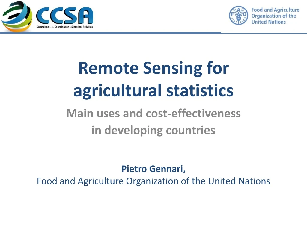
Insert own member logo here. Remote Sensing for agricultural statistics. Main uses and cost-effectiveness in developing countries. Pietro Gennari , Food and Agriculture Organization of the United Nations. RS and Big Data. RS is one of the key component of Big Data

E N D
Insert own member logo here Remote Sensing for agricultural statistics Main uses and cost-effectiveness in developing countries PietroGennari, Food and Agriculture Organization of the United Nations
RS and Big Data • RS is one of the key component of Big Data • RS data is big = volume criterion • RS use large-scale analytics to extract information and respond to scientific questions of global nature • RS is not new, but it is continuing to grow (opportunities provided by the new generations of satellites) • Improvement of agricultural statistics among the initial applications, since the launch of Landsat in early ‘70s. • Research programme undertaken by the Global Strategy to Improve Agriculture and Rural Statistics aimed at verifying the conditions for cost-effective use in developing countries Insert own member logo here
Main uses of RS data for agricultural statistics • Monitoring Land cover/Land use • Area Frame construction • Support to field work of censuses/surveys • Crop acreage estimation • Cropyieldsmonitoring/forecasting Insert own member logo here
Land cover mapping • Daily availability of low-resolution imagery (up to 30 m) allow the derivation of cropland masks at world-level • Cropland mapping algorithms • Land cover/use classification • Example: MDG indicator of forest cover
Area frame construction • Design level: • Definition of the physical boundaries of PSU’s and SSU’s from photo-interpretation of Landsat imagery. • Stratification level: • Distinction between agricultural and non agricultural land avoiding to select PSU’s located where the probability of finding a crop are close to zero => Increase in relative efficiency by 50%, at almost zero cost • Reduction of the sampling variance within each stratum through photo interpretation or automatic classification of imagery into land cover classes Insert own member logo here
Crop acreage estimation • Pixel counting: nearly unique example of direct operational use of RS for crop area estimation (USDA/NASS, the Indian Mahalanobis National Crop Forecasts Centre, Statistics Canada) • Calibration methods: reducing the sampling error obtained from a survey by integrating auxiliary information (regression estimator) or calibration of RS data on the basis of ground-truth data • Example: joint work FAO-USGS/NASA to increase the reliability of individual crop area estimates. Four information products: 1) cropland areas; 2) cropping intensities; 3) irrigated versus rainfed cropland; 4) area by crop types • Tanzania as pilot country to test and roll-out the new methodology • Products and statistics disseminated through USGS & FAO platforms Insert own member logo here
Crop yield monitoring/forecasting • Mechanistic models: use mechanisms of plant and soil processes to simulate the growth of specific crops. Involve fairly detailed and computation-intensive simulations • Functional models: Simplified simulation of complex processes • Statistical models: based on yield info for large areas; combine a secular trend and variations due to weather conditions (Remote Sensing) • Many national initiatives: China, India, Morocco, Pakistan, Mozambique, Senegal, Tunisia, etc. • Several intern. initiatives: FEWSNET, GIEWS, MARS, VAM Insert own member logo here
Cost-effectiveness of RS in agricultural statistics • Recent FAO study on 31 developing & transition countries • Conclusions: use of RS for agricultural statistics can be cost-effective (given current conditions in terms of data availability, access, price and preprocessing), butitdepends on the usethatisforeseen. • Main uses of RS and photo-interpretation in developing countries: design and optimization of sampling frames; land use mapping • Regression analysis integrating ground survey and image classification results is instead rarely used Insert own member logo here
For Land Cover Maps • Stratification of an agricultural sampling frame, alone, cannot justify expenses for a land cover classification (Example of North Sudan: 240 man months necessary for photo interpretation into 7 main land classes with an area of 1.9 M. km2). • The cost of photo-interpretation of LU map at 1/25,000 was estimated at 3.5 $/km2 in Morocco (Spot) • The expected stratification efficiency is in general lower in developing countries (less intensive cropping) compared to more intensive agriculture regions Insert own member logo here
For Area Frame • Relative efficiency depends on the complexity of the landscape and the crops diversity • Analysis done for 3 major cereals in Morocco (soft wheat, durum wheat and barley), shows that the relative efficiency varies widely from province to province (from 1.4 to 14) • At the national level and for the most important crops, the relative efficiency gain is of 300%. • The variance reduction is higher the larger the percentage of the area excluded from the sample due to the use of land use maps produced with satellite imageries Insert own member logo here
Conditionsfor the effectiveuseof RS • The effective use of RS data is quite demanding on NSOs • Sustainable accesstosatellite image collections • Photo-interpretationcapacity, image processing and geographic information systems (GIS) software applications • Robust geospatial and statistical methodologies • Capacity to combine ground reference with RS data • Highly trained, multi-disciplinary and motivated team with the capacity to produce accurate estimates and defend them • Unequal capacity of countries to harness the potential of RS data • A comprehensive programme of technical assistance on the use of RS for agricultural statistics is needed to bridge this knowledge gap Insert own member logo here