Download
1 / 4
40 likes | 43 Views
This paper explores the use of quadtree structures for visualizing geocoded population data and implementing disclosure control measures, addressing issues such as errors in population calculation and risk of disclosure. The study also proposes a solution for mitigating the border effect and demonstrates the use of Monte Carlo techniques for estimating relative error distributions. The findings highlight the effectiveness of quadtree structures in achieving a balance between security and accuracy in statistical confidentiality.

E N D
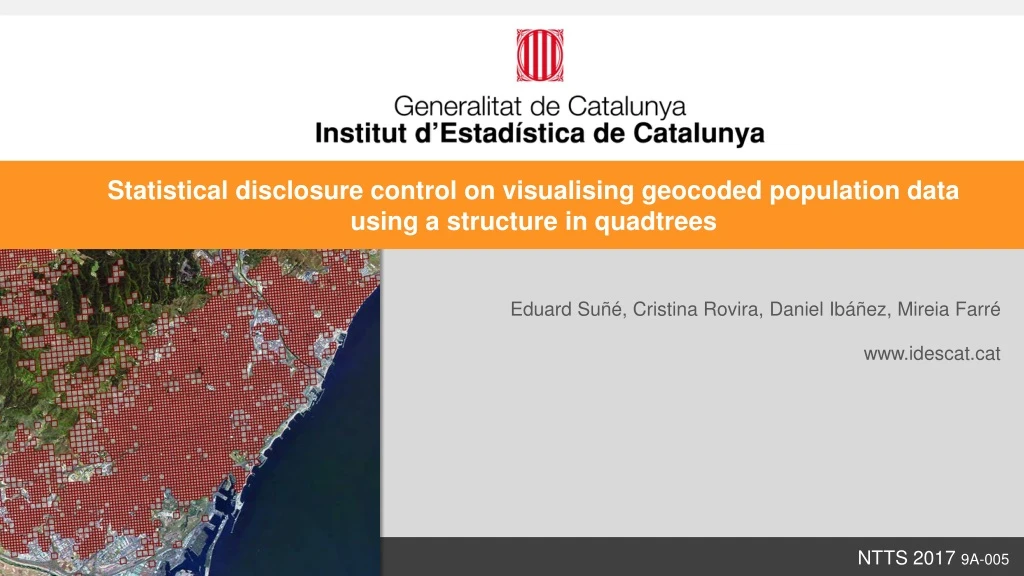
Statistical disclosure control on visualising geocoded population data using a structure in quadtrees Eduard Suñé, Cristina Rovira, Daniel Ibáñez, Mireia Farré www.idescat.cat NTTS 2017 9A-005
Disclosure control byspatialaggregationusingquadtrees 250 m. 1 Km. 500 m. 125 m. - Errors in population calculation European Standard Grid resolution Risk of disclosure + A quadtree is defined by {maximum resolution, minimum resolution, georeferenced data, threshold} Decision QT{125m,250m,PR2014,17} 4 111 322 322 4 Border effect: Avoidedbytranslationswhentheabsolute error is lessthantheaggregation 110 17 1.288 621 552 322 322 546 615 QT {125m,250m,PR2014,17} NTTS 2017 9A-005
Estimations of errors. Monte Carlo experiment QT{125m,250m,PR2014,17,t} ≈ 50,000 random polygons QT{125m,250m,PR2014,17} For each polygon Sᵢ, relative error is εᵢ = [1] QT{125m,125m,PR2014,17} nᵢ = Population within the X geometry Sᵢ n'ᵢ = ∑ nᵣ * AREA ( Qᵣ ∩ Sᵢ ) / AREA ( Qᵣ ) relative error NTTS 2017 9A-005
6. Conclusions • The use of quadtrees for the dissemination of georeferenced data is a good method for the preservation of statistical confidentiality, as a certain balance between security and accuracy is achieved. • This preservation method may lead to undesirable aggregations in areas which correspond to siblings in the hierarchy, due to the high values of population variance (border effect). A solution to the border effect consists of translating microdata under the condition that the absolute error of the aggregation is greater than that of the translation. • Monte Carlo techniques allow the estimation of the relative error distribution for the population calculated within the quadtree structure QT{125m,250m,PR2014,17,t}. We have obtained a value of 5.3% for the median of these errors. NTTS 2017 9A-005