Download
1 / 19
200 likes | 207 Views
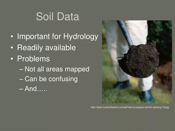
Soil Data. Important for Hydrology Readily available Problems Not all areas mapped Can be confusing And…. http://static.howstuffworks.com/gif/how-to-prepare-soil-for-planting-15.jpg. IS IT RELIABLE ?. Who knows?. Depends on. Date of soil survey Scale of mapping Order 3 (public lands)

E N D
Soil Data • Important for Hydrology • Readily available • Problems • Not all areas mapped • Can be confusing • And….. http://static.howstuffworks.com/gif/how-to-prepare-soil-for-planting-15.jpg
Depends on • Date of soil survey • Scale of mapping • Order 3 (public lands) • Skill of soil scientist
If you use soil data you must know • What survey it came from. • The scale of mapping (complexes). • Date.
Digital Soil Mapping • Provide accuracy estimates • Map attributes and type • Requires digital (GIS) data layers
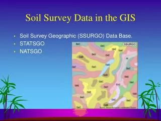
Soil Data Availability Status Map http://soildatamart.nrcs.usda.gov/StatusMap.aspx
Predicting Pedogenic Silica Accumulations in Geologically Complicated Landscapes
How? • DEM • Soil Data (raster) • Geological Data (raster) • TauDEM • Fill pits • Flow direction (D inf) • Downslope Influence • Upslope dependence
Downslope Influence • Predicts sediment movement. • Digitized geology map. • Igneous extrusive. http://hydrology.neng.usu.edu/taudem/
Upslope Dependence • Predicts possible source of sediment. • Buffered points. http://hydrology.neng.usu.edu/taudem/
What now? • Upslope Dependence most promising. • Better Geology data. • Finish data collection. • Run for soils that have different amounts of silica (duripan vs. silica pendents). • Quantitatively analyze portion of the flow that originates from different geology types.
References • Boettinger, J.L., and R.J. Southard. 1991. Sources of silica and carbonate for Aridisols on a granitic pediment, western Mojave Desert. Soil Science Society of America Journal 55:1057-1067. • Gessler, P.E., O.A. Chadwick, F. Chamran, L. Althouse, and K. Holmes. 2000. Modeling soil-landscape and ecosystem properties using terrain attributes. Soil Science Society of America Journal 64:2046-2056. • Gessler, P.E., Moore, I.D., McKensie, N.J., Ryan, P.J. 1995. Soil–landscape modeling and spatial prediction of soil attributes. International Journal Geographical Information Science 9, 421-32 • Grazing Lands Technology Institute. 2003. National Range and Pasture Handbook, 1st revision. USDA NRCS. Grazing Lands Technology Institute (GLTI), Fort Worth, Texas. • Moore, E.D., Gessler, P.E., Nielsen, G.A., Peterson, G.A., 1993. Soil attribute prediction using terrain analysis. Soil Science Society of America Journal 57, 443-452 • Saunders, A.M., and J.L. Boettinger. 2007. Incorporating classification trees into a pedogenic understanding raster classification methodology, Green River Basin, Wyoming, USA. p. 389-399.In: P. Lagacherie, A.B. McBratney, and M. Voltz (eds.) Digital SoilMapping: An introductory perspective. Developments in Soil Science Vol. 31, Elsevier, Amsterdam. • Soil Survey Staff. 2006. Keys to Soil Taxonomy, tenth edition. USDA NRCS, US Government Printing Office, Washington, D.C. • Stringham, T.K., Krueger, W.C., and Shaver, P.L. State and Transition Modeling: An ecological process approach. Journal of Range Management. 56: 106-103 March 2003. • Tarboton, D. G., (1997), "A New Method for the Determination of Flow Directions and Contributing Areas in Grid Digital Elevation Models," Water Resources Research, 33(2): 309-319. • USGS National Gap Analysis Program. 2005. Southwest Regional GAP Analysis Project—Land Cover Descriptions. RS/GIS Laboratory, College of Natural Resources, Utah State University. • Utah Geological Survey webpage.