Download
1 / 18
180 likes | 305 Views
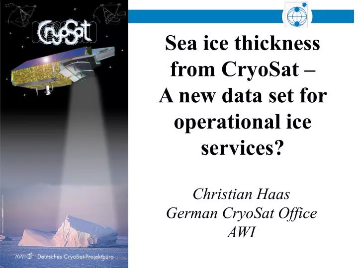
Sea ice thickness from CryoSat – A new data set for operational ice services?. Christian Haas German CryoSat Office AWI. First Earth Opportunity Mission, to be launched in November 2004.

E N D
Sea ice thickness from CryoSat – A new data set for operational ice services? Christian Haas German CryoSat Office AWI
First Earth Opportunity Mission, to be launched in November 2004 • Selected after 1999 proposal from European Scientists Group, lead by Prof. D. Wingham, University Collage London, UK • Goals: • Observe changes in Arctic multi-year ice thickness • Observe changes of Antarctic and Greenland ice sheet thickness • Radar altimetry mission with new technology: Synthetic Aperture, Interferometric Radar Altimeter: SIRAL
Ice Sheets Sea Ice h? h?
Freeboard to Thickness Conversion • Estimate Freeboard above Interpolated Ocean surface • Conversion assumes reflection from the ice/snow interface • Conversion to thickness using climatology of snow depth/densities [Warren, 1999]
Comparison of satellite and submarine thickness measurements ‘93 to ‘97 Observed thickness trends (ERS-2) (Laxon et al., 2003)
h Time = 2*h/v Pulse-Limited Radar Altimetry
Ocean Ice Sheets Sea Ice
SIRAL: Synthetic-Aperture Interferometric Radar Altimeter SAR 250 m along track resolution InSAR
Orbit (Science Orbit): • 717 km Mean Altitude • 92° Inclination • 369 Days Repeat Cycle • 30 Days Subcycle • 7.5 km Inter-Track Spacing at Equator
CryoSat Data Products Spatially & Temporally Averaged Ice Thickness Along-track Ice Elevations Multi-looked Beams & Phases Coherent Synthetic Beams ~ 1 Mbit/day ~ 400 Gbit/day ~ 3 Gbit/day ~ 20 Mbit/day ~ 400 Gbit/day Level 1 - 1b Level 2 - 3 Level 0 - 1 Level 1b - 2 Level 3 - 4 Coherent, Pulse-limited Radar Echoes Secular trend in ice thickness ~20kbit/day
Level 1B Multi-looked Echoes L0 - L1b Stack & Multi-looking Doppler Beam Stack Over Spherical Surface
Major improvements over ice surfaces due to synthetic-aperture interferometric (InSAR) processing Data is orbit oriented (not imaging) Low point-to-point covariance due to speckle Most reliable for 104 km2 spatial / 1 month temporal resolution Access to data through ESA Data-AOs Uncertainties will be addressed by extensive validation Conclusions See you at: http://www.cryosat.de