Download
1 / 5
0 likes | 7 Views
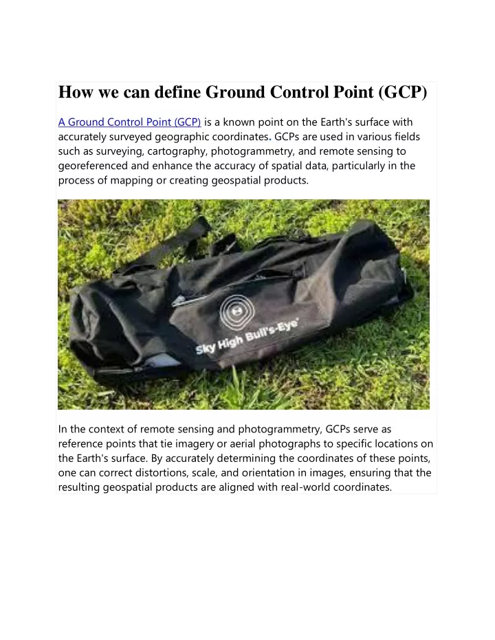
In the context of remote sensing and photogrammetry, GCPs serve as <br>reference points that tie imagery or aerial photographs to specific locations on <br>the Earth's surface. By accurately determining the coordinates of these points, <br>one can correct distortions, scale, and orientation in images, ensuring that the <br>resulting geospatial products are aligned with real-world coordinates

E N D
How we can define Ground Control Point (GCP) A Ground Control Point (GCP) is a known point on the Earth's surface with accurately surveyed geographic coordinates. GCPs are used in various fields such as surveying, cartography, photogrammetry, and remote sensing to georeferenced and enhance the accuracy of spatial data, particularly in the process of mapping or creating geospatial products. In the context of remote sensing and photogrammetry, GCPs serve as reference points that tie imagery or aerial photographs to specific locations on the Earth's surface. By accurately determining the coordinates of these points, one can correct distortions, scale, and orientation in images, ensuring that the resulting geospatial products are aligned with real-world coordinates.
The process of collecting and using GCPs involves identifying distinct features on the ground that can be easily identifiable in both the imagery and on maps. Common GCPs include easily recognizable features like road intersections, prominent landmarks, or well-defined corners of buildings. Survey-grade GPS receivers or other precise surveying techniques are typically used to determine the accurate geographic coordinates of these points.
In summary, Ground Control Points play a crucial role in georeferencing and aligning spatial data with real-world coordinates, contributing to the accuracy and reliability of maps and other geospatial products. Ground Control Points Carrying Bag with 40 Metal Stakes | Easy Storage, Transport and Anchor Your GCPs Perfectly sized to fit any of the 24" x 24" GCPs in our product catalogue, this bag is essential for storing and transporting your GCPs. With 40 metal stakes included in the bundle, you can pin each of your 10 GCPs on every corner. The bag also has an external zipping pocket to put your 40 stakes into along with anything else you take to the field. Perfect size for 10 or more 24" x 24" GCPs 40 metal stakes to anchor 10 sets of GCPs on every corner Easily store & transport GCPs in a convenient package Zipper pocket for stakes as well as any other field items Adjustable shoulder strap to fit a variety of body types April Tags for Accurate Drone Mapping
April Tags are robust visual fiducial markers indispensable for robotics and precise camera calibration applications. Originating from the University of Michigan, this system provides unparalleled accuracy in localization, outperforming QR codes by encoding less data for faster decoding. April Tags are essential in computer vision, trendy in AR/VR scenarios, and offer reliable 3D space localization using only a camera. Discover our comprehensive range of April Tags in multiple sizes with magnetic and adhesive options. Step into a world of unmatched object tracking and calibration capabilities. Shop now!