Download
1 / 24
240 likes | 362 Views
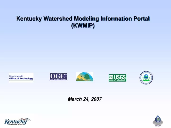
Kentucky Watershed Modeling Information Portal (KWMIP). March 24, 2007. Kentucky Watershed Modeling Information Portal Presentation Overview. Project Goals & Objectives Project Description Partners & Technical Advisory Group Portal Development Process Current Status Next Steps.

E N D
Kentucky Watershed Modeling Information Portal (KWMIP) March 24, 2007
Kentucky Watershed Modeling Information Portal Presentation Overview • Project Goals & Objectives • Project Description • Partners & Technical Advisory Group • Portal Development Process • Current Status • Next Steps
Project Goals & Objectives Increase Model Use • TMDLs needed for 2,000+ impaired pollutant/waterbodies in KY Improve Modeling Efficiency • KWMIP compiles and formats many model data layers Improve Modeling Products • More consistent climate and GIS data usage statewide Train Water Resource Managers • Models as Decision Support Tools Train Modelers • KWMIP and new datasets
Project Description • KWMIP In Concept • Modelers/users select a watershed or area of interest. • KWMIP locates necessary data, clips, zips and ships to modeler for use. • KWMIP is available for uses other than modeling
Project Description • EPA Environmental Information Exchange Network Challenge Grant • $750,000 Cooperative Agreement between USEPA and KY Commonwealth Office of Technology (COT) • Project Period: October 2004 – September 2007 • Interface with EPA’s Environmental Information Exchange Network and KY’s GIS databases • Vendor neutral links to GIS and databases • Grant Link: http://www.epa.gov/Networkg/ • Exchange Network Link: http://www.exchangenetwork.net/index.htm • KWMIP Website URL: http://kwmip.ky.gov
KWMIP Partners U.S. EPA Grantor KY COT-DGI Principal Investigator USGS Co-awardee Precipitation & temperature modeling Portal Development, Open GeoSpatial Consortium (OGC)Co-awardee User Needs Assessment, Portal Development, Testing, Installation KY DEP-DOW Co-awardee Project input Testing, and Review Technical Advisory Group (TAG) ~80 representatives from academia, government, agencies, consultants OGC Sub-Contractors FMSM Project Coordination Sanborn Solutions Web-Enable EPA GeoBook ESRI, FMSM, OGC Portal Build Contractors
Technical Advisory Group • User Needs Assessment • Identify important models & datasets • Use Case Design • Outline key system components & functions • Beta-Testing & Documentation Review • Participate in Training • Planning & implementation • Interactive User Group (after portal is operational)
Technical Advisory Group CDP Engineers Commonwealth Office of Technology, Division of Geographic Information Eastern KY University EPA Region 4 FMSM Engineers Gresham, Smith and Partners GRW Engineers KDOW - Water Supply KDOW- TMDL Section KDOW Watershed Management Branch KDOW-Groundwater Branch Kentucky Natural Lands Trust Kentucky Waterways Alliance Louisville MSD Open Geospatial Consortium Strand Associates The Corradino Group, Inc. Third Rock Consultants University of Kentucky University of Kentucky - Kentucky Geological Survey URS Corp USACE - Louisville USDA-NRCS USGS-Kentucky Water Science Center
Portal Development Process User Needs Analysis – candidate models & data identified Use Case – Project Partners & TAG define KWMIP functions Build Pilot System Web-Enable USEPA’s SE Ecological Framework GeoBook (100% complete) Test Pilot System Install Operational System Train –managers and modelers Communicate – Public and private sector Project completed Long-term Operation and Maintenance ? Next Steps! 9/07
Use Case: KWMIP Models & Tools • Surface Water Quality Models • Load Duration Curves • QUAL2K* • LSPC* • HSPF • SWMM* • WASP* • Groundwater Model • MODFLOW • Hydrologic Models • EFDC* • HEC • Tools (Leverage) • BASINS • WCS* • MetAdapt* * Included in USEPA Region IV Modeling Toolbox
Use Case: Major KWMIP Data Layers • Geospatial Data * • Digital Ortho Quads • Geology • Land Cover • Elevation • Hydrography • Karst features • Water & Wastewater Infrastructure • Population • Soils • Tabular Data • Stream Water Quality (STORET, NWIS, COMPASS) • Stream Flow (NWIS) • Groundwater & Spring Quality • Effluent Flow & Quality (PCS) • Impoundment Stage • KY Climate Data * KY GeoNet already provides access to many of these data layers http://kygeonet.ky.gov/
Key Functions from Use Case Define the Study Area Boundary User Registers & Logs In Bounding Box Delineated Watershed Select a Model no User Selects Data Sources & Formats HUC Watershed Zoom to Approximate Study Area KWMIP Locates, Clips, Reprojects, Zips, and Ships to FTP Site Browse & Preview Data, QAPPs & Metadata DATA User RetrievesData Package from FTP Site User Community Support
KWMIP Web Service http://kygeonet.ky.gov/kwmipviewer/viewer.htm
KWMIP Web Service http://kygeonet.ky.gov/kwmipviewer/viewer.htm
KWMIP Watershed Delineation http://kygeonet.ky.gov/kwmipviewer/viewer.htm
KWMIP Study Area Boundary Generator http://water.usgs.gov/usgs/osw/streamstats/links.html
KWMIP User Community Support • Data Registry • Data owners register spatial or tabular data with a form • KWMIP can search registry for data availability • KWMIP users contact data owner to obtain data • Data Standards • Obtain data quality standards & download standard formats • Training Materials & Help • View & download user guide, training presentations, acronym lookup, help function • List Serve • User communication area • Feedback • Email contact for questions and to make recommendations
KWMIP Leverages Data and Projects Environmental Information Exchange Network • KDEP databases – TEMPO & COMPASS • USEPA databases – STORET, PCS USEPA Region IV Modeling Toolbox & BASINS • Databases, GIS, Models KY GeoNet • Numerous KY spatial data layers useful for modeling • www.kygeonet.ky.gov USGS: Stream Stats • Flow Statistics, On-line WS Delineations, Estimate N&P • http://kygeonet.ky.gov/kyhydro/viewer.htm Stream Data Karst Hydrology Initiative • 55% of KY – complex hydrology • Multi-state mapping & science
Next Steps! • Final touches, mostly related to loading datasets • Project partners test portal (April 9-24) • TAG testing (following 2 weeks) • Train water resource managers & modelers • Long term operation & maintenance plan • Institutionalize operational system
KWMIP II Ideas • Live access to NCDC data (Climate Data Generator) • Incorporate new data layers as they become available • Add watershed summary and report tool • Provide watershed visualizations • Expand decision support tools & models • LGEAN – Local Government Environmental Assistance Network • http://www.epa.gov/waterspace//index.html • Interactive learning tools for managers & modelers
Questions and Contacts Principal Investigator: Demetrio Zourarakis, Division of Geographic Information demetrio.zourarakis@ky.gov Project Coordinator: Karen Schaffer, FMSM Engineers kschaffer@fmsm.com Open Geospatial Consortium Raj Singh, rsingh@opengeospatial.org • http://kwmip.ky.gov/