Download
1 / 22
220 likes | 332 Views
Maps and Imaging Technologies. An introduction to what we can learn about our planet. Variation in Gravity. El Nino and La Nina. Radar Image of Amazon. Image of World Vegetation Patterns. Passive Microwave Sensing. Salinities in Pacific Ocean. Satellite Image of Katrina.

E N D
Maps and Imaging Technologies An introduction to what we can learn about our planet
So the question is • What can we learn from these different types of images • of the same event • About our planet • Think for 1 minute • Share with your table partner- Be prepared to share with class • IN OTHER WORDS, WHY ARE THESE TECHNIQUES AND TECHNOLOGIES HELPFUL?
Now let’s read a little • Set up 2 Cornell notes pages • Each set of table partners will be assigned a specific section to read and take notes from • Go to assigned section of text • You have 7 minutes to complete your reading and notes with your table partner • You will then switch partners and share the notes from your team- 2 minutes per person • You will switch 2 more times to gather all notes
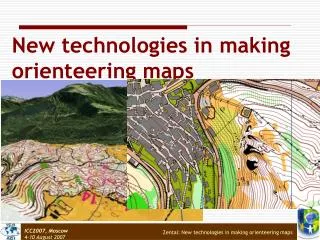
Topographic Maps • The lines translate three dimensional land features into a two dimensional map • Helpful in hiking and orienteering. They are also used in land-use planning • Rules!!- Contour lines do not cross. They can merge at a vertical cliff. The closer together they are the steeper the terrain. The father apart contour lines are the more gradual the ascent
Topographic Symbols • Index Contour Interval- contour lines that have a number written on them. This number indicates the elevation of all points along the line. • Intermediate Contour intervals- lines have no number on them • Depression-a decline in elevation inside a rise for example a volcanic crater • Supplementary Contour Interval- dotted lines are placed in areas where elevation change is minimal. • Other frequent symbols Blue= water, rivers, lakes Red = land grids and important roads Black= smaller roads, trails, boundaries Green= vegetation
This is a picture of West Lost Lake • Wouldn’t you love to take a hike and see this place for your self? • It’s just a hop, skip and a jump up into the Flat Tops • I guess we had better find out just how strenuous a hike it is!
Your Turn • With your table partner • Get the following materials: • a topographic map • a half sheet of paper • Ruler and piece of string • a direction sheet and analysis questions.
HOMEWORK • Complete the summary portion in your Cornell Notes on Topographic Maps • Complete the summary portion in your Cornell Notes on LandSat and OSTM/Jason2 • Complete the summary portion in your Cornell Notes on SeaBeam and Geologic Maps • Each summary should be about 3-5 sentences and should fit within the box/space