Download
1 / 39
390 likes | 395 Views
This paper discusses the possible contributions of MRI's NHM model to COPS, including its application to orographically-induced deep convection and operational usage. It also explores the application of NHM-4DVAR to deep convection prediction and the improvement in QPF performance.

E N D
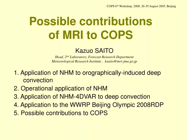
COPS 6th Workshop, 2008, 26-29 August 2005, Beijing Possible contributions of MRI to COPS Kazuo SAITO Head, 2nd Laboratory, Forecast Research Department Meteorological Research Institute , ksaito@mri-jma.go.jp 1. Application of NHM to orographically-induced deep convection 2. Operational application of NHM 3. Application of NHM-4DVAR to deep convection 4. Application to the WWRP Beijing Olympic 2008RDP 5. Possible contributions to COPS
1. Application of NHM to orographically-induced deep convection NHM; A community nonhydrostatic model for research and NWP developed by MRI/JMA (Ikawa and Saito, 1991: Tech. Rep. MRI, 28, 238pp.) (Saito et al., 2001: Tech. Rep. MRI, 42,133pp.) MCTEX (Maritime Continent Thunderstorm Experiment); Field campaign in 1995 by BMRC etc., (Keenan et al., 2000: Bull. AMS, 81, 2433-2455.) • Shallow convection in morning and sea-breeze front along the coast. • Cloud merger along the east-west line-shaped convergence zone. • Explosive growth of deep convection after the merging stage. Visible GMS image on 27 November 1995.
Application of NHM (Saito et al., 2001: Mon. Wea. Rev. 129, 378-400.) NHM was nested with the BMRC’s Limited Area Assimilation and Prediction System (LAPS). Initial time 27 November 1995, 0830 CST • Left: Domain and orography of LAPS and 2.5 km-NHM. Inner rectangle shows the domain of the 1 km-NHM. • Right: Time sequence by 2.5 km-NHM. • Maximum instantaneous surface rain intensity and the averaged rain rate. • Maximum updraft and downdraft. • Maximum cloud top height and cloud amount (%).
Result by 1 km NHM • Shallow convection in morning and sea-breeze front along the coast. • Cloud merger along the east-west line-shaped convergence zone. • Explosive growth of deep convection after the merging stage. Saito et al. (2001) Left: Visible GMS image on 27 November 1995. Right: Corresponding numerical simulation by 1 km NHM.
2. Operational application of NHM The operational JMA nonhydrostatic mesoscale model. Saito et al., 2006: Mon. Wea. Rev., 134, 1266-1298. Saito et al., 2007; JMSJ, 85B, 271-304. Domain and orography of MSM • Start of operation with 10kmL40 (Mar. 2001) • Nonhydrostatic model with 3 ice microphysics • (Sep. 2004) • Enhancement of resolution to 5kmL50 • (Mar. 2006) • Implementation of MY3 closure model • (May. 2007)
3 hour precipitation on 22 July 2006 09 JST 21 July Observation 12 JST21 July
3 hour precipitation on 22 July 2006 09 JST 12 hour forecast from 1200UTC 21 July 5 km NHM (MSM) Observation 12 JST 15 hour forecast from 1200UTC 21 July
QPF performance of operational MSM at JMA (Threat scores for 3 hour precipitation, Mar. 2001-Jan. 2008) Weak to moderate rain, (5mm/3hr, 40km) Intense rain, (10mm/3hr, 10km) New physics 5km50L Nonhydrostatic dynamics 4D-Var Nonhydrostatic dynamics 5km50L New physics 4D-Var • Wind profiler data (Jun. 2001) • Radar precipitation analysisin 4D-Var (Mar. 2002) • Domestic ACARS data (Aug. 2002) • SSM/I precipitable amount (Oct. 2003) • QuikSCAT Seawinds (Jul. 2004) • Doppler radar radial winds (Mar. 2005) QPF performance has been improving steadily in recent years by the virtue of implementation of NHM and the progress of data assimilation.
3. Application of NHM-4DVAR to deep convection(Kawabata et al.,2007: JMSJ, 85, 255-276.) NHM-4DVAR; Cloud resolving 4D-VAR system based on TL/ADJ models of NHM developed by MRI/JMA GPSsatellite rain Deep convection Doppler radar radial winds Moist atmosphere Doppler radar GPS receiver Doppler radar radial winds, GPS-PWV and surface AWS data are assimilated with 1-10 minute intervals in the 1 hour assimilation window to predict initiation of deep convection. PWV observed by GEONET
1.0 10 20 40 60 Forecast from the 2 km NHM-4DVAR analysis(15-16JST) Kawabata et al. (2007) Gorecast (16JST) Observed Rain (16JST) Deep convection Observed deep convection and associated heavy rain were predictable with the 2 km 4D-VAR assimilation.
Assimilation of radar reflectivity with the 2 km NHM 4D-VAR The warm rain cloud microphysical process has been implemented to ADJ model of NHM-4DVAR. With the assimilation of the radar reflectivity and mesoscale data (Doppler radial winds, GPS-TPW and surface wind and temperature data ), location, horizontal size, and rainfall intensity of the observed heavy rain in Sep 2005 was reproduced. POSTER DAP5 by T. Kawabata For detail of NHM-4DVAR (control variables, observation operator, etc.,)
4. Application to the WWRP Beijing Olympic 2008 RDP 3500km 1320km 1100km 3000km Fine domain Tier 2 2-3 km CRM experiments case study General Requirements on Configuration of B08RDP MEPS Tier 1 15 km mesoscale ensemble up to 36 hour
The 2007 Tier-1 MEP *NCEP submitted results by global EPS in the 2007 experiment MRI/JMA scored best performance for most indexes in the 2007 preliminary experiment.. RMSE of 2m temperature RMSE of 2m RH
Application of Meso 4D-VAR Analysis toward the 2008 Experiment System Meso 4D-Var for JMA meso-scale hydrostatic model Grid number OUTER : 361 x 321 x 40 (Δx = 10km) INNER : 181 x 161 x 40 (Δx = 20km) Assimilation window 3-hour (iteration MAX = 30) Observation Data ・Conventional Observation (surface, ship, buoy, upper, etc.) ・PWV, rainfall intensity observed by satellites (SSMI, TMI, AMSR-E) ・Sea level wind of QuickSCAT ・Analyzed rainfall distribution (Japan area) ・Doppler Radar RW data (Japan area) ・3 hour rainfall amount (China area) Domain of Meso 4D-Var for B08RDP Kunii (2007) 06UTC 09UTC 12UTC time NHM 36hour forecast Assimilation (4D-Var) RANAL
Effect of Meso 4D-VAR and surface rainfall assimilation Kunii (2007) Initial : 2007 07 29 12UTC FT = 30 hour OBS RA MA MA with srain
3. Possible contributions to COPS 2000km 300km 300km 1500km COPS domain 20km JMA GSM or ECMWF global model NHM-4DVAR with 2 km Design of a supposed DA experiment to predict deep convection in COPS Meso 4D-VAR with 10 km (or MM-5 4D-VAR of Univ. Hohenheim)
Summary • High quality, high density data observed in COPS are very attractive and challenging for the cloud resolving 4D-Var. • Collaboration between MRI and COPS scientists will be beneficial for both groups. • The 2nd meeting of the WWRP WG on Mesoscale Weather Forecasting Research will be held in Tokyo on 17-18 March and data assimilation intercomparisons test-bed will be discussed. • COPS observation field may become a strong candidate of the test-bed.