Download
1 / 27
270 likes | 273 Views
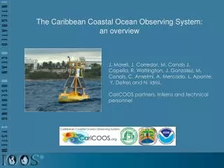
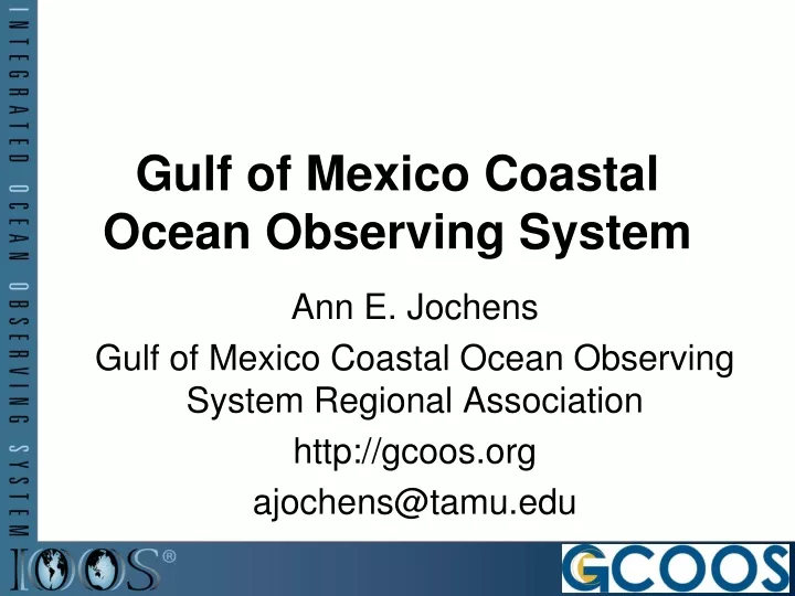
Gulf of Mexico Coastal Ocean Observing System. Ann E. Jochens Gulf of Mexico Coastal Ocean Observing System Regional Association http://gcoos.org ajochens@tamu.edu. Topics. Global Ocean Observing System (GOOS) Integrated Ocean Observing System (IOOS)

E N D
Gulf of Mexico Coastal Ocean Observing System Ann E. Jochens Gulf of Mexico Coastal Ocean Observing System Regional Association http://gcoos.org ajochens@tamu.edu
Topics • Global Ocean Observing System (GOOS) • Integrated Ocean Observing System (IOOS) • Gulf of Mexico Coastal Ocean Observing System (GCOOS)
GOOS Photo Credit: Gulf of Mexico Sperm Whale Seismic Study Project, U.S. Minerals Management Service, 2002
Global Ocean Observing System • Two Interdependent Modules • Global Ocean • Coastal • Global Module • Planning began in late 1980’s • Implementation plan completed in late 1990’s • Implementation underway • Coastal Module • Planning began in late 1990’s • Implementation strategy approved in 2004 • www.ioc-goos.org/
Ecosystem-Based, Adaptive Management Detect and Predict Change in the State of the Ocean • Routine & Rapid Detection of changes • over a broad spectrum of time-space scales • Timely Predictions of such changes WE DO NOT HAVE THIS CAPABILITY TODAY Source: http://www.ioc-goos.org/documents/GOOS_125_COOP_Plan_en.pdf
Coastal Module: Conceptual Basis • Physical processes • Fundamentally important to most phenomena of interest • Forcing & phenomena of interest • Related through a hierarchy of interactions that can be modeled • Common requirements • Variables to be measured, managed & analyzed
U.S. IOOS Photo Credit: Gulf of Mexico Sperm Whale Seismic Study Project, U.S. Minerals Management Service, 2002
U.S. Integrated Ocean Observing System (IOOS) A tool that will enable the Nation to track, predict, manage and adapt to changes in our marine environment and deliver critical information to decision makers to… Improve safety Enhance our economy Protect our environment
Integrated Approach to Achieving Societal Goals One System, Six Goals • Open Ocean Module • Improve predictions of climate change • Improve safety & efficiency of marine operations • Improve predictions of natural hazards • Coastal Module • Reduce public health risks • Protect & restore healthy marine ecosystems more effectively • Sustain & restore living marine resources
Operational Oceanography Sustained, Routine, User-Driven, End-to-End, Multi Disciplinary, Multi Purpose Users = Groups that use, depend on, are responsible for, or study the marine environment & its resources Products, Decision Support Tools Analysis, Modelling Data Communications & Management Observations, Monitoring
The Components of IOOS 3 Subsystems • Observations • Data Management & Communications • Modeling & Assessment 3 Cross Cuts • Research and Development • Outreach/Education • RA Governance and management
Develop Regional Coastal Ocean Observing Systems Focused on the EEZ, Great Lakes & Estuaries • Establish Regional Associations to build • RCOOSs by • Engaging user groups from private & public sectors in their regions • Implementing national standards & protocols • Informing Federal Agencies of user needs • Enhancing the backbone based on user needs • Incorporate existing • sub–regional observing systems • Increase resolution of the NB • Increase # of variables measured 11 RAs Have Been Funded To Initiate this Process
GCOOS Photo Credits: Gulf of Mexico Sperm Whale Seismic Study Project, U.S. Minerals Management Service, 2002-2007
GCOOS Domain Source: USGS http://walrus.wr.usgs.gov/infobank/gazette/html/regions/gm.html
What We Have Done So Far • Stakeholder Priorities • Voluntary Data Providers – Integration Begins • Data Portal & Products • Education and Outreach Community
Stakeholder Requirements • Accurate bathymetry and topography • Improved coverage of real-time currents • Improved real-time, offshore meteorological measurements • Improved forecasts & nowcasts of sea level, winds, waves • Improve monitoring, forecasts and dissemination of hurricane and wave severity • Enhanced water quality measurements • Coastal storm surge/inundation maps for mitigation planning • Improve real-time forecasts of coastal inundation • Increased Harmful Algal Bloom monitoring stations • Improve dissemination of information to diverse groups
GCOOS Integrates Information IMaRS 1993 LSU/ESL 1988 WAVCIS 1999 USM 2004 DISL 2003 LUMCON 1999 MOTE 2004 Oil & Gas 2005 TABS 1995 TCOON 1992 COMPS 1996
Observers Web-Page Sensor / Observation ftp NDBC Web-Page NDBC QA/QC Dial-A-Buoy OPeNDAP NWS GATEWAY Global Telecommunications Service Wx. Channel Local Media NODC NCDC NWS Forecast Offices NCEP NDBC MODEM Kit (Meteorological and Oceanographic Data Exchange Module) Regional Observatories Public
Where We Are GoingFully Developed GCOOS for Our Nation’s Future Observing Networks DMAC Modeling and Analysis
Rivers to the Whole Gulf • Shallow Waters = Estuaries, Bays, GOMA Coastal Waters • SW FL Water Quality Integration Pilot Project – GCOOS-GOMA WQ PIT – SCCF • Integration with SECOORA • Integration with Mexico
Data Operational Oceanography Data Delivered in Near Real Time Research ≠ Operational Oceanography Sustained Operational Oceanography Long-term Time Series of Data Integration of time series Coordinated in space and time
GCOOS: It’s a Whale of a Tale! gcoos.org Photo Credit: Gulf of Mexico Sperm Whale Seismic Study Project, U.S. Minerals Management Service, 2002-2007