Download
1 / 8
80 likes | 187 Views
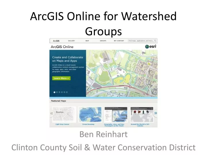
ArcGIS Online for Watershed Groups. Ben Reinhart Clinton County Soil & Water Conservation District. +. -. Pros & Cons. Some may prefer to do the majority of edits and imports in ArcMap Photos need to be hosted Need to determine which viewer is preferred

E N D
ArcGIS Online for Watershed Groups Ben Reinhart Clinton County Soil & Water Conservation District
+ - Pros & Cons Some may prefer to do the majority of edits and imports in ArcMap Photos need to be hosted Need to determine which viewer is preferred 1,000 Feature Limit on imported layers Limited labeling features Cannot import layer or raster files • Able to access files straight from web (e.g.HUC, STORET, 303/305 Reports, TMDLs, etc.) • Wide variety of base maps • Very easy to share and has ability to create “interactive” slides • Editing display characteristics is relatively easy (thumbnails?) • Query tools/Address Locator • Extensive resource materials available
Interactive Presentations • http://www.arcgis.com/explorer/?present=8e06c324fe0f4bd5a1c39e5487c4f8f8
Next Steps • Privacy Issues • Data Management • Explore Dashboard Gadgets (i.e. charts, graphs, gauges, etc.) • Research Forms & Blogs • Points of Interest • Water Trails • Incorporate into website