Download
1 / 26
280 likes | 410 Views
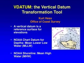
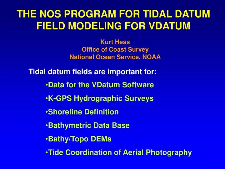
THE NOS PROGRAM FOR TIDAL DATUM FIELD MODELING FOR VDATUM. Kurt Hess Office of Coast Survey National Ocean Service, NOAA. Tidal datum fields are important for:. Data for the VDatum Software K-GPS Hydrographic Surveys Shoreline Definition Bathymetric Data Base Bathy/Topo DEMs

E N D
THE NOS PROGRAM FOR TIDAL DATUM FIELD MODELING FOR VDATUM Kurt Hess Office of Coast Survey National Ocean Service, NOAA Tidal datum fields are important for: • Data for the VDatum Software • K-GPS Hydrographic Surveys • Shoreline Definition • Bathymetric Data Base • Bathy/Topo DEMs • Tide Coordination of Aerial Photography
DELAWARE BAY K-GPS SURVEY, JUNE 2001 Tide Zones K-GPS vs Zoning VDatum: MSL-to-MLLW from TCARI
COMMON VERTICAL DATUMS VERTICAL DATUM = base elevation used as a height reference 1. THREE-DIMENSIONAL DATUMS -Datum defined in Earth-centered X,Y,Z-coordinates used with GPS North American Datum of 1983 [NAD 86(86)] WGS 84 = World Geodetic System of 1984 ITRFxxxx = International Terrestrial Reference Frame for Year xxxx 2. ORTHOMETRIC DATUMS - Datum defined by an equipotential (as defined by gravity) surface NAVD 88 = North American Vertical Datum of 1988 3. TIDAL DATUMS -Datum defined by an average water level, usually at a specific phase of the tide MLLW = Mean Lower Low Water
3-D Datums Orthometric Datums Tidal Datums VERTICAL DATUMS IN TAMPA BAY
VDATUM TRANSFORMATION ‘ROADMAP’ Each straight black line is a transformation WGS 84 (G873) ITRF2000 WGS 84 (G1150) MHHW WGS 84 (G730) Under Develop- ment WGS 84 (orig.) ITRF97 MHW NGVD29 ITRF96 ITRF94 MTL ITRF93 NAD 83 (86) NAVD 88 LMSL ITRF92 ITRF91 TSS GEOID99 (USHG2003 USGG2003) DTL ITRF90 ITRF89 MLW ITRF88 SIO/MIT 92 NEOS 90 MLLW PNEOS 90 3-D Datums Orthometric Tidal Datums Datums
THE TIDAL DATUM FIELD GENERATION PROCESS Access the Tidal Constant Data Base Run Numerical Model to Get Tides & Datums Run TCARI on Errors Run TCARI for Datums Create ‘Corrected’ Datum Create Datum Difference Fields Create and Populate the VDatum Grid
TIDAL CONSTANT DATA BASE • CSDL file of tidal data for appx. 4,000 U.S. locations • From CO-OPS quality-controlled official data • Additional data from non-QC’d data, paper records, non-NOAA sources, etc. • For each station, contains: • 7-digit (NOS) identification number • Latitude, longitude • Station name and state • Occupation and Nat. Tidal Datum Epoch dates • 9 tidal and ortho. datums and their source (if available) • 37 amplitudes, epochs, their source (if available) • Greenwich intervals (if available)
PRIMER ON TIDAL DATUMS Higher High Higher High MHHW MHW Lower High Observed Water Level DTL LMSL MTL ? Higher Low MLW Lower Low Higher Low MLLW Lower Low Day 1 Day 2 LMSL = avg. of hourly levels MTL = avg. of MHW and MLW DTL = avg. of MHHW and MLLW LAT = lowest astronomical tide Water level record of 19 years Nat. Tidal Datum Epoch: 1983-2001
NUMERICAL TIDE MODELING: REGIONAL STRATEGY ADCIRC Finite-Element Model of J. Westerink, U. of Notre Dame Rick Luettich, U.N.C. Can also use: Quoddy, ELCIRC, FVCOM models
HIGH SPATIAL RESOLUTION AT THE LOCAL LEVEL Smallest cell size: 100 m
MODEL SIMULATION OF TIME SERIES OF WATER LEVELS At every cell, extract highs and lows, define higher highs and lower lows, then compute averages. 30-day time series of 6-min values
MODEL VS DATA: MHHW AND MLLW 38 North Carolina Stations Mean absolute error = 4.4 cm 38 locations + 5 cm
COMPUTED TIDAL DATUM FIELD: MSL ABOVE MODEL ZERO Ocean: 0.0 m Pamlico Sound: 0.04 m Core Sound, Back Sound, Bogue Sound: 0.04 to 0.15 m
COMPUTED TIDAL DATUM FIELD: MHHW ABOVE MSL Ocean: 0.5 m Pamlico Sound: 0.03 m Core Sound, Back Sound, Bogue Sound: 0.03 to 0.4 m
VDATUM MARINE GRID:TIDAL DATUMS AND TSS • Point spacing = 0.24 nmi = 0.004 deg • Red points have tidal and other datums • Other points have null tidal datums, but valid 3-D and orthometric values • ‘Water‘ points overlap land
TIDAL DATUM FIELDS BY SPATIAL INTERPOLATION: TCARI (TIDAL CONSTITUENT AND RESIDUAL INTERPOLATION) Interpolation by Laplace’s Equation: 2f = 0 Subject to boundary conditions: f(xi, yi) = fiobs ____ f = datum, amp, cos(phase) Mf/Mn = aMf/Mn a = 0 a = 0.95 a = 1.0
| 6 nmi | SPATIAL INTERPOLATION: WHY A NEW METHOD? Because of the presence of intervening land | +9 deg | -57 deg |
SPATIAL INTERPOLATION IN A DATA-RICH REGION • Puget Sound, Washington • Datums available at 69 NOS tide stations • 61 were used (solid blue squares) • 8 not used (some up rivers, etc.)
TCARI RESULTS: MHHW RELATIVE TO LMSL • Grid generated from coastline • No depths used • Grid size: 0.125 nmi • 37,280 water cells • 1,700 iterations required (SOR) • Range of MLLW values: 1.1 to 1.8 m
COMPARISON WITH DATA Average RMS error is 2.5 to 3.0 cm
SEA SURFACE TOPOGRAPHY • Result for Puget Sound • Created by NGS • Based on 11 tidal benchmarks • Avg. value of • NAVD 88 - LMSL=-1.3 m • Spatially interpolated
TCARI-CORRECTED TIDE MODEL TCARI Corrected TCARI Interpolation Tide Interpolation Of Data Model Of Error
VDATUM TODAY • Six existing regions • Three in development Puget Sound New York Bight Delaware Bay Chesapeake Bay Central Coastal Louisiana North Carolina Central California Lake Calcasieu Tampa Bay
EXTENSION OF VDATUM TO ENTIRE COASTAL U.S.:LIMITING FACTORS • Human resources • Lack of recent tidal data • Lack of GPS-referenced benchmarks • Old bathymetry • Outdated shoreline • Vertical datum issues in Great Lakes, Alaska, Hawai’i
WHAT’S NEXT • Hire UCAR post-doc for tidal datum modeling • Complete VDatum for North Carolina, Lake Calcasieu, and Chesapeake Bay • Extend VDatum to other areas: Long Island Sound, San Juan Islands • Build DEM for coastal Carolina • Transfer TCARI to CO-OPS