Download
1 / 15
200 likes | 592 Views
Geomarketing, Geolocation, Geotargeting, Geomatic, …. michel.bruley@teradata.com. August 2013. Geomodeling the real world. The classification of spatial features generates several independent layers. Maps. Real world. Spatial D ata & Analysis. How many restaurants are within the circle ?.

E N D
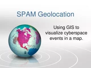
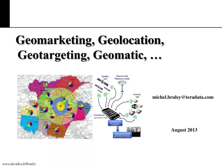
Geomarketing, Geolocation, Geotargeting, Geomatic, … michel.bruley@teradata.com August 2013
Geomodeling the real world The classification of spatial features generates several independent layers Maps Real world
Spatial Data & Analysis How many restaurants are within the circle?
Geomarketing Information • Where are my customers located? • Where are my potential customers? • Where are my shops, bankomats,..etc.? • Where are my competitors located? Geomarketing information is information which enables the user to take better and faster decisions about sales activities.
Geoinformation Product is defined as a specific piece of geoinformation which provides an answer to a particular user’s question. statistic geographic demographic
Integrated Hybrid Positioning New technologies can pinpoint your location at any time and place GPS A-GPS Cell-ID ISM BANDS TVWS BANDS 50 meters 3 meters 300 meters 100 meters 6 meters 400 meters 61% of mobile users use their mobile in transport
Geolocation Marketing Defined • The use of a consumers geographical location for the purposes of marketing. • In Practice: Utilizes location based services (LBS) on mobile devices to pinpoint a consumers geographical location and deliver marketing materials to the consumer or to create a location based user experience to either sell a product or increase awareness. • Location based services: A fancy way for saying the use of GPS and land based towers to pinpoint location. • Marketing Materials: Any material created on behalf of an organization to establish authority on a subject, persuade a consumer to buy a product or increase brand awareness. • User Experience: Any form of interaction between consumer and company usually over a digital medium.
Location-Based Services (LBS) • With all its privacy threats, why do users still use location-detection devices? • Wide spread of LBSs • Location-based store finders • Location-based traffic reports • Location-based advertisements • LBSs rely on the implicit assumption that users agree on revealing their private user locations • LBSs trade their services with privacy • LBSs make heavy use of context, including patterns in the location data, which is extracted using data mining methods. 71% of mobile users using geolocation: to go to a specific point or spot, …
The location of Alzheimer's patients Alert! The tag is at the following address ... Accuracy of 20 meters Service delivers the address of the tag(by phone, Internet, etc.).
Multiple Use Cases LBS / ASSET TRACKING SALES & MARKETING Warehouses Disaster Recovery Equipment & Supplies Location-aware Advertising Social Networking Social Gaming PUBLIC SAFETY/MILITARY Locate/Track Personnel Search & Rescue Monitor Military Campaigns
Insurance Example: MapReduce for Non-Relational Data Used in Risk Analysis Fine Grained, Location-based Risk Analysis How to increase the sophistication of risk profiling? • Use polygon-based tiling to define risk boundaries • 25 mile by 25 mile tiling artificially constrains risk borders • Analyst-defined polygons can incorporate local risk factors more accurately • Join polygon-based tiling to existing & new variables • Correlate with descriptive market data by zip code, e.g. average salary, age, years of residence • Deliver consistent yet iterative risk analysis/pricing • Analysts drive risk analysis in an iterative, hypothesis-driven way • All queries are logged for regulatory purposes Key Characteristics: Granular Data Geospatial Strings
MapReduce Use Cases • Use Cases • Genomic, Astronomical, , Geo-Spatial, scientific • Web log analysis • Text processing • Use cases • Data preprocessing • Image processing • Search indexes • Web crawling • Use Cases • Pattern matching • Visitor behavior • Graph & relationshipanalysis • Investigativeanalytics BATCH PROCESSING FAST/INTERACTIVE
The Approach by Workload and Data Type • Processing as a function of schema requirements by data type Financial analysis, ad-hoc/OLAP Enterprise-wide BI and Reporting Spatial/Temporal Active Execution Interactive data discovery Web clickstream, social feeds Set-top box analysis CDRs, Sensor logs, JSON Image processing Audio/video storage and refining Storage and batch transformations
Unified Data Architecture for the Enterprise Any User, Any Data, Any Analysis Data Scientists Engineers Quants Business Analysts Java, C/C++, Pig, Python, R, SAS, SQL, Excel, BI, Visualization, etc. • Integrated Data Warehouse Discovery Platform Aster MapReduce Portfolio Teradata Analytics Portfolio SQL-H • Capture, Store, Refine Audio/Video Images Text Web & Social Machine Logs CRM SCM ERP