Download
1 / 10
100 likes | 326 Views
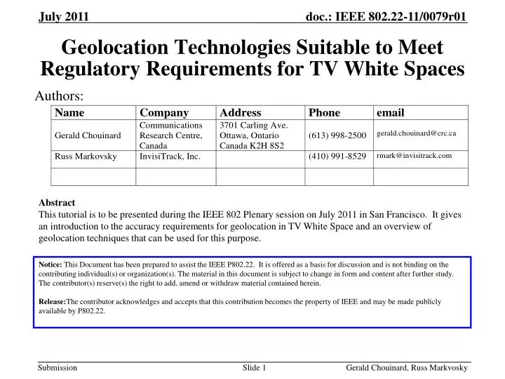
Geolocation Technologies Suitable to Meet Regulatory Requirements for TV White Spaces. Authors:. Abstract

E N D
Gerald Chouinard, Russ Markvosky Geolocation Technologies Suitable to Meet Regulatory Requirements for TV White Spaces Authors: Abstract This tutorial is to be presented during the IEEE 802 Plenary session on July 2011 in San Francisco. It gives an introduction to the accuracy requirements for geolocation in TV White Space and an overview of geolocation techniques that can be used for this purpose. Notice: This Document has been prepared to assist the IEEE P802.22. It is offered as a basis for discussion and is not binding on the contributing individual(s) or organization(s). The material in this document is subject to change in form and content after further study. The contributor(s) reserve(s) the right to add, amend or withdraw material contained herein. Release:The contributor acknowledges and accepts that this contribution becomes the property of IEEE and may be made publicly available by P802.22.
Gerald Chouinard, Russ Markvosky Geolocation technologies suitable to meet Regulatory Requirements for TV White Spaces • FCC 10-174 Second Memorandum Opinion and Order • 23 September 2010 15.711 (b) Geo-location and database access requirements. (Page 65) (1) The geographic coordinates of a fixed TVBD shall be determined to an accuracy of+/- 50 metersby either an incorporated geo-location capability or a professional installer. In the case of professional installation, the party who registers the fixed TVBD in the database will be responsible for assuring the accuracy of the entered coordinates. The geographic coordinates of a fixed TVBD shall be determined at the time of installation and first activation from a power-off condition, and this information may be stored internally in the TVBD. (2) A Mode II personal/portable device shall incorporate a geo-location capability to determine its geographic coordinates to an accuracy of+/- 50 meters. A Mode II device must also re-establish its position each time it is activated from a power-off condition and use its geo-location capability to check its location at least once every 60 seconds while in operation, except while in sleep mode, i.e., in a mode in which the device is inactive but is not powered-down. (3) … (4) All geographic coordinates shall be referenced to the North American Datum of 1983 (NAD 83).
Gerald Chouinard, Russ Markvosky Geolocation accuracy requirements for E911 FCC MO&O 97-402, “Revision of the Commission Rules To Ensure Compatibility with Enhanced 911 Emergency Calling Systems” FCC 11-107, Third Report and Order, Second Further Notice of Proposed Rulemaking and Notice of Proposed Rulemaking • Network-based geolocation technology(Triangulating the caller’s wireless signal in relation to nearby cell sites) • 100 m accuracy 67% of the 911 calls (probability that the location would be within 100 m radius of the CPE actual location). • 300 m accuracy 95% of the 911 calls. • Handset-based geolocation technology:(GPS or similar technology installed in the caller’s handset) • 50 m accuracy 67% of the 911 calls. • 100 m accuracy 95% of the 911 calls. FCC E911 phase 2 accuracy requirements by Sept 11, 2012. To be sunset in 2019.
Gerald Chouinard, Russ Markvosky Geolocation accuracy vs fine ranging accuracy • For a given geolocation error, the ranging error has to be smaller because geolocation methods/ techniques can be subject to location geometry degradation. Good Geometry Trilateration Triangulation Assuming that the geometry degradation amplification is 2X (on average), the required ranging accuracy is +/- 25 meters. • In addition, the network device electronics propagation delays (residual delay) accuracy is assumend to be +/- 30 ns. This results in +/- 10 meters ranging error • In 802.22, this residual delay needs to be measured by the manufacturer with an accuracy ofat least +/-30 ns (IEEE Std 802.22-2011, subclause 7.7.7.3.4.10.) • Thus the required fine ranging accuracy needs to be +/- 15 meters Bad Geometry
Gerald Chouinard, Russ Markvosky Coarse ranging: use and limitations • Ranging is used in communication systems to: • Adjust the frequency of the CPE transmitted signal • Adjust the timing of the CPE transmitted signal • Adjust the signal transmission power for proper reception • Signal the modulation and FEC to be used for operation • Ranging can also be used for a rough estimate of the signal flight time. However, the accuracy is limited, at best, to the signal sampling period: T1= time of transmission T2= time of reception Base Station CPE Customer Premise Equipment T4= time of reception T3= time of transmission Signal flight time= 1/2 * ((T4 - T1) - (T3 - T2))
Gerald Chouinard, Russ Markvosky Satellite-based geo-positioning • Global Positioning System (GPS) • provides location and time information • needs unobstructed line-of-sight (outdoor) • need time to lock to at least 3 satellites • Differential Global Positioning System (DGPS) • is an enhancement to GPS that uses a network of fixed, ground-based reference stations to broadcast the difference between the positions indicated by GPS and the known fixed positions. • Assisted Global Positioning System (AGPS) • can improve the startup performance, or time-to-first-fix (TTFF) of a GPS positioning system. Uses terrestrial network resources to locate and utilize the satellites faster and improve performance in poor signal conditions. It is used extensively with GPS-capable cellular phones (E911). It can allow for some indoor operation. • Russian GLONASS system • European Galileo system
Gerald Chouinard, Russ Markvosky Terrestrially-based geo-positioning • Time-based • Time of Arrival (TOA): terminal is at intersection of three circles centered at three BSs => trilateration (need synchronous networks)(outdoor) • Time Difference of Arrival (TDOA): terminal is at intersection of three hyperbola for which foci are at the three BSs => trilateration(need synchronized BSs)(outdoor) • Larger signal bandwidth (e.g., UWB) results in higher resolution ranging (indoor)
Gerald Chouinard, Russ Markvosky Terrestrially-based geo-positioning • Angle-based • Angle of Arrival (AOA): smart and/or directional antennas used at two BSs => triangulation (outdoor) • Radio Map • RSS Radio Map: Off-line pre-calibration, on-line matching of RSS at BSs to identify location of terminal (urban & indoor) • Fingerprinting using local multipath signature (urban & indoor)
Gerald Chouinard, Russ Markvosky Terrestrially-based geo-positioning • Other network-based positioning techniques • Cell ID: BS and sector with which the terminal is communicating • Observed Time Difference of Arrival (OTDOA) (for UMTS networks) • Uplink Time Difference of Arrival (U-TDOA): relies on multi-laterations • Non network-based positioning technique • Round Trip Time (RTT): total round-trip time from a BS to a CPE and back to the BS to determine the BS-CPE distance. Triangulation on multiple RTT’s will allow geo-positioning (outdoor & indoor).
Gerald Chouinard, Russ Markvosky References • Guolin Sun, Jie Chen, Wei Guo, and K.J.Ray Liu, “Signal Processing Techniques in Network-Aided Positioning,” IEEE Signal Processing Magazine, July 2005 • Hui Liu, Houshang Darabi, Pat Banerjee and Jing Liu, “Survey of Wireless Indoor Positioning Techniques and Systems,” IEEE Transactions on Systems, Man, and Cybernetics – Part C: Applications and Reviews, Vol. 37, No. 6, November 2007, pages 1067-1080 • A. Roxin, J. Gaber, M. Wack, A. Nait-Sidi-Moh, IEEE Globecom Workshops Washington, DC (2007)