Download
1 / 21
210 likes | 371 Views
1974 Burnet County Transportation Plan Overview Presented to Burnet Transportation Committee on June 18, 2008 by Brian Shirley. 1974 Burnet County Transportation Plan. Developed by TXDOT District 14 Approved by: Burnet County City of Burnet City of Marble Falls

E N D
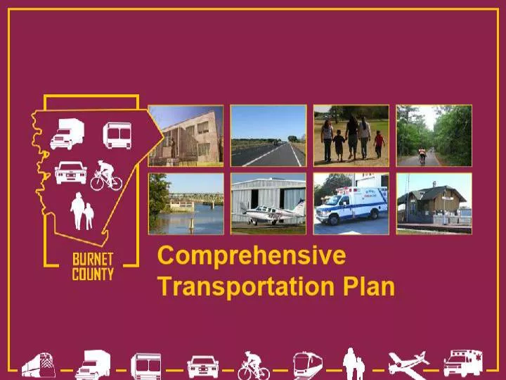
1974 Burnet CountyTransportation Plan Overview Presented to Burnet Transportation Committee on June 18, 2008 by Brian Shirley
1974 Burnet County Transportation Plan • Developed by TXDOT District 14 • Approved by: • Burnet County • City of Burnet • City of Marble Falls • City of Bertram • City of Granite Shoals
1974 Burnet County Transportation Plan • Looked to future through 1990 • Focused on the roadway system • Considered other modes of transportation as necessary • The plan is anticipated to be updated “from time to time”
1974 Burnet County Transportation Plan • Utilized previous planning documents: • Your County Program (1963) by Burnet County Building Committee (citizens and County Agricultural Agent) • Long Range County Program (1973) by Burnet County Building Committee (citizens and County Agricultural Agent)
1974 Burnet County Transportation Plan • Concerned with: • Quality of family living • Agricultural resources • Youth resources • Business • Industry • Recreational attractions
1974 Burnet County Transportation Plan • Priorities: • Keeping young people in the County • Develop additional parks and recreational facilities along the lakes • Surveying mineral deposits for potential development • Development of agricultural markets
1974 Burnet County Transportation Plan • Long Range Objectives: • Attract more tourists • Attract small manufacturing plants • Provide jobs as an economic incentive to keep local people in the County
Traffic Generators Identified: Longhorn Cavern State Park (45,000 – 50,000 visitors annually) Inks Lake State Park (130,000 visitors annually) Seven Quarries and Mines: Aggregate Calcium carbonate Lime Graphite Marble chips for roofing 2 granite quarries 1974 Burnet County Transportation Plan
1974 Burnet County Transportation Plan • Existing Land Use Categories Used: • Residential • Commercial • Industrial • Semi-public • Right-of-way
1974 Burnet County Transportation Plan • Historic Population Sources: • Texas Almanac • 1960 Census • 1970 Census
1974 Burnet County Transportation Plan • Population Projections Sources Utilized: • 1990 State Highway Functional Classification Study (planning document) • City of Burnet Comprehensive Plan • City of Marble Falls Comprehensive Plan • Capital Area Planning Council
1990 Population Projected: Burnet County: 14718 Burnet: 5400 Marble Falls: 7260 Bertram: 2150 Granit Shoals: 743 1990 Census Actual: Burnet County: 22677 Burnet: 3423 Marble Falls: 4007 Bertram: 849 Granit Shoals: 1378 1974 Burnet County Transportation Plan
1974 Burnet County Transportation Plan • Suggested improvements for: • City of Burnet • Open city streets across creeks • Develop loop facilities • City of Marble Falls • Open city streets across creeks on west half of city • Burnet County • “Existing county road system is generally adequate for its intended service” (p.28)
1974 Burnet County Transportation Plan • Other Transportation Facilities Identified: • Airports • Kate Craddock Field (City of Burnet) • Horseshoe Bay Airport (privately-owned) near Marble Falls • Sherwood Shores Field (unattended) near Marble Falls • Bus Service • Continental Trailways (U.S. 281) • Arrow Coach Lines (U.S. 183) • Motor Freight (3 commercial companies) • Railroads • Southern Pacific (averaging 2 trains /day serving the quarries)
1974 Burnet County Transportation Plan • Interesting Recommendations: • US 281 through Burnet County (except within Burnet and Marble Falls) should be 4-lane divided highway • Wirtz Dam Road and bridge below dam should connect RM 1431 to RM 2147 • RM 1431 east of US 281 recommend grade line improvements and bridge widening • RM 2341 near Lake Buchanan several bridges need to be widened • RM 2147 south of Marble Falls and Lake LBJ improved to 4-lane undivided to serve est. 3600 vehicles/day in 1990 • FM 243 North of SH 29 needs widening to 4-lane with curb and gutter • FM 243 South of SH 29 needs widening • FM 1174 North and South of SH 29 needs widening • Possible railroad passenger service to Austin