Download
1 / 21
210 likes | 216 Views
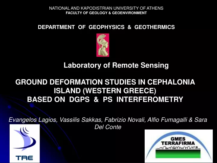
NATIONAL AND KAPODISTRIAN UNIVERSITY OF ATHENS FACULTY OF GEOLOGY & GEOENVIRONMENT DEPARTMENT OF GEOPHYSICS & GEOTHERMICS. Laboratory of Remote Sensing. GROUND DEFORMATION STUDIES IN CEPHALONIA ISLAND (WESTERN GREECE) BASED ON DGPS & PS INTERFEROMETRY.

E N D
NATIONAL AND KAPODISTRIAN UNIVERSITY OF ATHENS FACULTY OF GEOLOGY & GEOENVIRONMENT DEPARTMENT OF GEOPHYSICS & GEOTHERMICS Laboratory of Remote Sensing GROUND DEFORMATION STUDIES IN CEPHALONIA ISLAND (WESTERN GREECE) BASED ON DGPS & PS INTERFEROMETRY Evangelos Lagios, Vassilis Sakkas, Fabrizio Novali, Alfio Fumagalli & Sara Del Conte
The Central Ionian Islands GPS Networks • 24 bench marks in Cephalonia • 14 bench marks in Zakynthos • 4 bench marks in Ithaca
Seismic Activity 1964- 2006 (M>3.6) Seismic Activity 2006–Present (M > 3.6)
Lefkas Earthquake • August 14, 2003 • Mw = 6.3 • Zakynthos Seismic Activity • March- April 2006
Cephalonia Island • 24 GPS bench marks
DGPS Results 2001 - 2003 2003 - 2010
PSInSARTM product of Cephalonia Island Processed by Tele-Rilevamento Europa (TRE) • ERS descending: • 39 images • 4/19/1992 - 2/27/2000 • ENVISAT descending: • 21 images • 6/25/2003 - 11/5/2008
Reference Station (No 06) ITRF 2005
ERS PS Descending (1992 – 2000) Velocity Field (mm/yr)
ENVISAT PS Descending (2003 - 2008) Velocity Field (mm/yr)
PS Time-Series V<0 α < 0 V<0 α > 0 V > 0 α < 0 V > 0 α > 0
ERS Acceleration Field V <0 V > 0
ENVISAT Acceleration Field V <0 V > 0
Identification of Critical Area based on Observed Seismic Energy Released Star indicates the center of the two circles indicating Low (inside small circle) and High seismic energy release (area between the two circles).
Identification of Critical Area based on Modelling of Observed Seismic Accelerating Strain
Critical Time Estimation based on Temporal Analysis of Seismicity